1224 N Farm Road 193 Springfield, MO 65802
Southeast Springfield NeighborhoodEstimated Value: $641,000 - $1,069,200
6
Beds
4
Baths
4,767
Sq Ft
$179/Sq Ft
Est. Value
About This Home
This home is located at 1224 N Farm Road 193, Springfield, MO 65802 and is currently estimated at $855,100, approximately $179 per square foot. 1224 N Farm Road 193 is a home located in Greene County with nearby schools including Hickory Hills K-8 School and Glendale High School.
Ownership History
Date
Name
Owned For
Owner Type
Purchase Details
Closed on
Apr 16, 2018
Sold by
Redmon Redmon G and Redmon Theresa A
Bought by
Walton Carly
Current Estimated Value
Home Financials for this Owner
Home Financials are based on the most recent Mortgage that was taken out on this home.
Original Mortgage
$400,000
Outstanding Balance
$343,993
Interest Rate
4.44%
Mortgage Type
Closed End Mortgage
Estimated Equity
$511,107
Create a Home Valuation Report for This Property
The Home Valuation Report is an in-depth analysis detailing your home's value as well as a comparison with similar homes in the area
Home Values in the Area
Average Home Value in this Area
Purchase History
| Date | Buyer | Sale Price | Title Company |
|---|---|---|---|
| Walton Carly | -- | None Available |
Source: Public Records
Mortgage History
| Date | Status | Borrower | Loan Amount |
|---|---|---|---|
| Open | Walton Carly | $400,000 |
Source: Public Records
Tax History Compared to Growth
Tax History
| Year | Tax Paid | Tax Assessment Tax Assessment Total Assessment is a certain percentage of the fair market value that is determined by local assessors to be the total taxable value of land and additions on the property. | Land | Improvement |
|---|---|---|---|---|
| 2025 | $4,926 | $92,820 | $13,420 | $79,400 |
| 2024 | $4,926 | $87,220 | $11,050 | $76,170 |
| 2023 | $4,950 | $87,220 | $11,050 | $76,170 |
| 2022 | $4,379 | $75,040 | $11,050 | $63,990 |
| 2021 | $4,146 | $75,040 | $11,050 | $63,990 |
| 2020 | $4,015 | $69,170 | $11,050 | $58,120 |
| 2019 | $3,909 | $69,170 | $11,050 | $58,120 |
| 2018 | $3,623 | $64,050 | $11,060 | $52,990 |
| 2017 | $3,588 | $59,610 | $11,060 | $48,550 |
| 2016 | $3,338 | $59,610 | $11,060 | $48,550 |
| 2015 | $3,310 | $59,610 | $11,060 | $48,550 |
| 2014 | $3,249 | $58,060 | $11,050 | $47,010 |
Source: Public Records
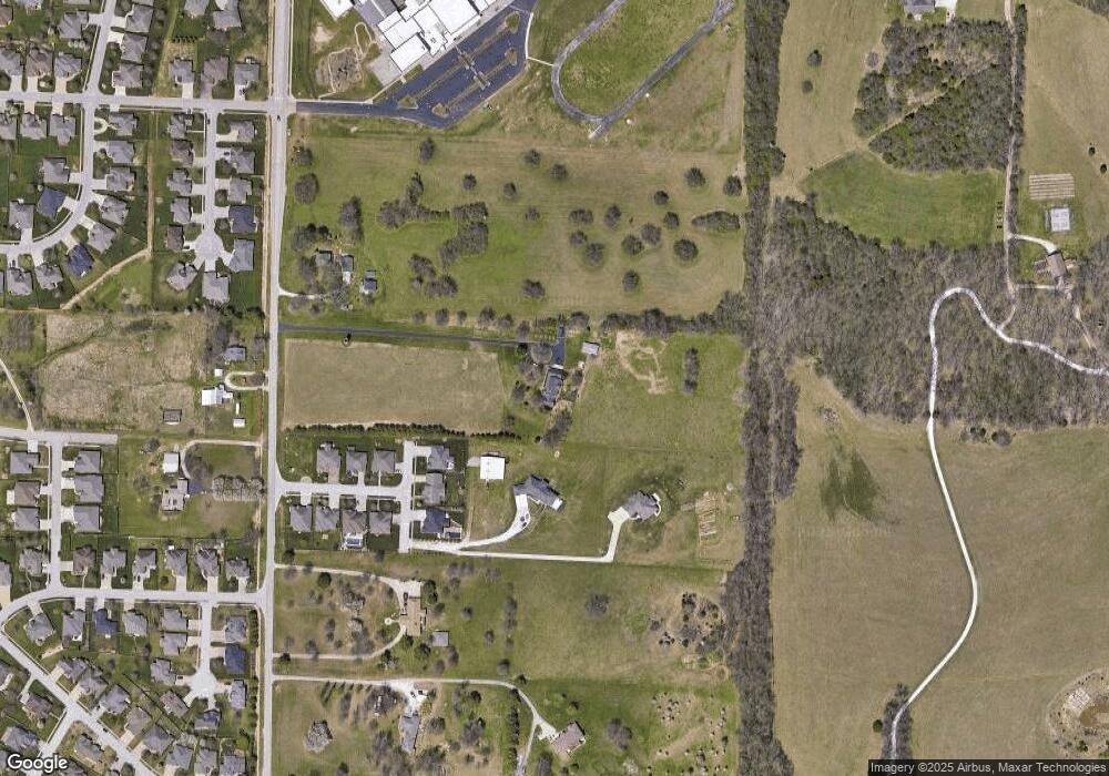
Map
Nearby Homes
- 1190 N Elmhurst Rd
- 1100 N Farm Road 193
- 4711 E Farm Road 128
- 4567 E Pearson Meadow Dr
- 4768 E Whitman Rd
- 4402 E Kanata Ct
- 1428 N Cromwell Ct
- 1505 N Thornhill Dr
- 1527 N Edgemont Cir
- 4584 E Kentbrook Dr
- 4566 E Kentbrook Dr
- Lancaster I Plan at The Lakes at Wild Horse
- Lake Edge II Plan at The Lakes at Wild Horse
- Silverado Plan at The Lakes at Wild Horse
- Emerson Plan at The Lakes at Wild Horse
- Palomino Plan at The Lakes at Wild Horse
- Lake Edge Plan at The Lakes at Wild Horse
- Meadowood Plan at The Lakes at Wild Horse
- Stone Ridge Plan at The Lakes at Wild Horse
- Lancaster II Plan at The Lakes at Wild Horse
- 1224 N Farm Road 193
- 1212 N Elmhurst Rd
- 1182 N Elmhurst
- 1204 N Elmhurst
- 0 N Elmhurst Rd Unit 11302295
- 0 N Elmhurst Rd
- 0 N Elmhurst Rd
- 0 N Elmhurst Rd
- 1204 N Elmhurst Rd
- 4631 E Viola Vine Dr
- 4623 E Viola Vine Dr
- 4630 E Viola Vine Dr
- 4615 E Viola Vine Dr
- 4622 E Viola Vine Dr
- 4614 E Viola Vine Dr
- 4606 E Viola Vine Dr
- 0 Sunset Ridge Unit 10820180
- 0 Sunset Ridge Unit 10910845
- 0 Sunset Ridge Unit 10910855
- 0 Sunset Ridge Unit 10910853