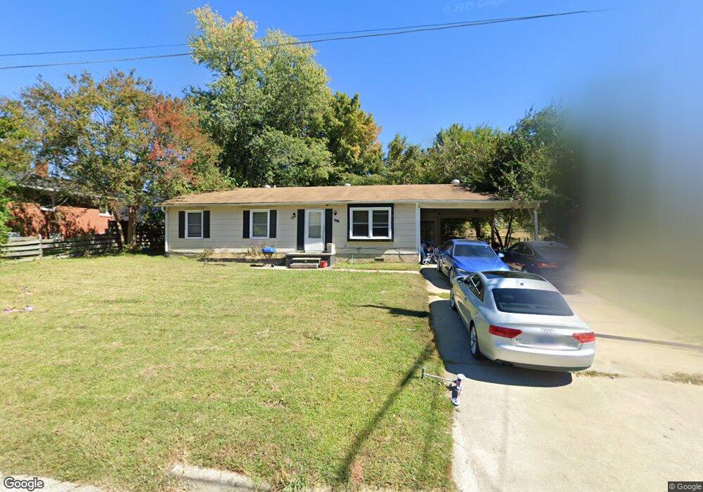
1224 Rogar St High Point, NC 27263
Greater High Point NeighborhoodEstimated Value: $169,000 - $198,000
3
Beds
1
Bath
1,632
Sq Ft
$116/Sq Ft
Est. Value
About This Home
This home is located at 1224 Rogar St, High Point, NC 27263 and is currently estimated at $189,909, approximately $116 per square foot. 1224 Rogar St is a home located in Guilford County with nearby schools including Allen Jay Elementary School, Southern Guilford Middle, and Southern Guilford High School.
Ownership History
Date
Name
Owned For
Owner Type
Purchase Details
Closed on
Jun 10, 2024
Sold by
Kay Lue Ann and Shimpock Lue Ann
Bought by
Muhammad Zarglrtain and Muhammad Muizz
Current Estimated Value
Purchase Details
Closed on
Jan 17, 2024
Sold by
Muhammad Zargham and Muhammad Muizz
Bought by
Homekey Properties Llc
Purchase Details
Closed on
Jan 10, 2012
Bought by
Shimpock Lue Ann Reams
Purchase Details
Closed on
Mar 19, 2003
Sold by
Kay Lue Ann
Bought by
Kay Lue Ann and Shimpock Ray
Home Financials for this Owner
Home Financials are based on the most recent Mortgage that was taken out on this home.
Original Mortgage
$82,000
Interest Rate
5.86%
Mortgage Type
Purchase Money Mortgage
Create a Home Valuation Report for This Property
The Home Valuation Report is an in-depth analysis detailing your home's value as well as a comparison with similar homes in the area
Home Values in the Area
Average Home Value in this Area
Purchase History
| Date | Buyer | Sale Price | Title Company |
|---|---|---|---|
| Muhammad Zarglrtain | $155,000 | None Listed On Document | |
| Homekey Properties Llc | -- | None Listed On Document | |
| Homekey Properties Llc | -- | None Listed On Document | |
| Homekey Properties Llc | -- | None Listed On Document | |
| Shimpock Lue Ann Reams | -- | -- | |
| Kay Lue Ann | -- | -- |
Source: Public Records
Mortgage History
| Date | Status | Borrower | Loan Amount |
|---|---|---|---|
| Previous Owner | Kay Lue Ann | $82,000 |
Source: Public Records
Tax History
| Year | Tax Paid | Tax Assessment Tax Assessment Total Assessment is a certain percentage of the fair market value that is determined by local assessors to be the total taxable value of land and additions on the property. | Land | Improvement |
|---|---|---|---|---|
| 2025 | $1,368 | $99,300 | $15,300 | $84,000 |
| 2024 | $1,368 | $99,300 | $15,300 | $84,000 |
| 2023 | $1,368 | $99,300 | $15,300 | $84,000 |
| 2022 | $1,339 | $99,300 | $15,300 | $84,000 |
| 2021 | $1,310 | $95,100 | $13,500 | $81,600 |
| 2020 | $1,310 | $95,100 | $13,500 | $81,600 |
| 2019 | $1,310 | $95,100 | $0 | $0 |
| 2018 | $1,304 | $95,100 | $0 | $0 |
| 2017 | $1,310 | $95,100 | $0 | $0 |
| 2016 | $1,380 | $98,400 | $0 | $0 |
| 2015 | $1,387 | $98,400 | $0 | $0 |
| 2014 | $1,411 | $98,400 | $0 | $0 |
Source: Public Records
Map
Nearby Homes
- 609 Martha Place
- 607 Martha Place
- 914 Nance Ave
- 1105 E Springfield Rd
- 717 Belmont Dr
- 312 Model Farm Rd
- 715 Baker Rd
- 919 Belmont Dr
- 600 E Fairfield Rd
- 335 Nathan Hunt Dr
- 206 E Moore Ave
- 206 Model Farm Rd
- 2616 Ingram Rd
- 1422 Valley Ridge Dr
- 1914 E Russell Ave
- 650 Wesley Dr
- 1103 Jefferson St
- 640 Wesley Dr
- 1114 Richland St
- 1012 Jefferson St
Your Personal Tour Guide
Ask me questions while you tour the home.