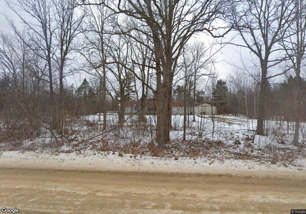
12240 Bristol Rd Lennon, MI 48449
Estimated Value: $216,000 - $318,000
3
Beds
2
Baths
1,400
Sq Ft
$192/Sq Ft
Est. Value
About This Home
This home is located at 12240 Bristol Rd, Lennon, MI 48449 and is currently estimated at $268,953, approximately $192 per square foot. 12240 Bristol Rd is a home located in Genesee County with nearby schools including Syring Elementary School, Elms Road Elementary School, and Dieck Elementary School.
Ownership History
Date
Name
Owned For
Owner Type
Purchase Details
Closed on
Apr 11, 2017
Sold by
Kennedy Valcrie
Bought by
Kennedy Raymond
Current Estimated Value
Purchase Details
Closed on
Feb 28, 2014
Sold by
Kennedy Raymond Lorenzo and Kennedy Valerie Leigh
Bought by
Kennedy Raymond Lorenzo and Kennedy Valerie Leigh
Home Financials for this Owner
Home Financials are based on the most recent Mortgage that was taken out on this home.
Original Mortgage
$55,300
Interest Rate
4.41%
Mortgage Type
New Conventional
Create a Home Valuation Report for This Property
The Home Valuation Report is an in-depth analysis detailing your home's value as well as a comparison with similar homes in the area
Home Values in the Area
Average Home Value in this Area
Purchase History
| Date | Buyer | Sale Price | Title Company |
|---|---|---|---|
| Kennedy Raymond | -- | None Available | |
| Kennedy Raymond Lorenzo | -- | First American Title Ins Co |
Source: Public Records
Mortgage History
| Date | Status | Borrower | Loan Amount |
|---|---|---|---|
| Closed | Kennedy Raymond Lorenzo | $55,300 |
Source: Public Records
Tax History Compared to Growth
Tax History
| Year | Tax Paid | Tax Assessment Tax Assessment Total Assessment is a certain percentage of the fair market value that is determined by local assessors to be the total taxable value of land and additions on the property. | Land | Improvement |
|---|---|---|---|---|
| 2025 | $3,176 | $119,900 | $0 | $0 |
| 2024 | $917 | $118,800 | $0 | $0 |
| 2023 | $875 | $102,000 | $0 | $0 |
| 2022 | $2,798 | $88,600 | $0 | $0 |
| 2021 | $2,774 | $80,900 | $0 | $0 |
| 2020 | $800 | $78,900 | $0 | $0 |
| 2019 | $787 | $71,900 | $0 | $0 |
| 2018 | $2,251 | $65,400 | $0 | $0 |
| 2017 | $2,148 | $65,400 | $0 | $0 |
| 2016 | $2,119 | $74,700 | $0 | $0 |
| 2015 | $1,949 | $71,100 | $0 | $0 |
| 2014 | $726 | $64,500 | $0 | $0 |
| 2012 | -- | $62,500 | $62,500 | $0 |
Source: Public Records
Map
Nearby Homes
- 4101 S Sheridan Rd Unit 132
- 4074 S Duffield Rd
- 1246 S Sheridan Rd
- 12225 Miller Rd
- V/L S Sheridan Rd
- 2548 S Sheridan Rd
- 908 Tyler Rd
- 11295 E Lytle Rd
- 12407 Lansing Rd
- 11890 E Goodall Rd
- 5051 Nichols Rd
- 0000 Lennon Rd
- 11424 Corunna Rd
- 6028 Duffield Rd
- 10126 McEnrue Rd
- 4101 lot 171 S Sheridan
- 10529 Hill Rd
- 10001 Goodall Unit 77
- 10001 E Goodall Rd
- 9312 Sue Ct
- 12260 Bristol Rd
- 12222 Bristol Rd
- 12292 Bristol Rd
- 12142 Bristol Rd
- 12322 Bristol Rd
- 12131 Bristol Rd
- 12200 Bristol Rd
- 12116 Bristol Rd
- 12350 Bristol Rd
- 12166 Bristol Rd
- 12090 Bristol Rd
- 12117 Bristol Rd
- 12117 Bristol Rd
- 12089 Bristol Rd
- 12387 Bristol Rd
- 12060 Bristol Rd
- 12401 Bristol Rd
- 3430 S Duffield Rd
- 0 Elmwood Dr
- Lot 34 Elmwood Dr