12240 Patton Ln New Concord, OH 43762
Estimated Value: $288,827 - $449,000
4
Beds
2
Baths
1,792
Sq Ft
$195/Sq Ft
Est. Value
About This Home
This home is located at 12240 Patton Ln, New Concord, OH 43762 and is currently estimated at $349,707, approximately $195 per square foot. 12240 Patton Ln is a home located in Muskingum County with nearby schools including New Concord Elementary School, East Muskingum Middle School, and Larry Miller Intermediate Elementary School.
Ownership History
Date
Name
Owned For
Owner Type
Purchase Details
Closed on
Jul 9, 2007
Sold by
Patton Lee H and Patton Joyce A
Bought by
The Pflc Llc
Current Estimated Value
Purchase Details
Closed on
Nov 28, 2003
Sold by
Revennaugh Martha M and Patton Lee
Bought by
Patton Lee H and Patton Joyce A
Home Financials for this Owner
Home Financials are based on the most recent Mortgage that was taken out on this home.
Original Mortgage
$63,000
Interest Rate
5.5%
Mortgage Type
Purchase Money Mortgage
Create a Home Valuation Report for This Property
The Home Valuation Report is an in-depth analysis detailing your home's value as well as a comparison with similar homes in the area
Home Values in the Area
Average Home Value in this Area
Purchase History
| Date | Buyer | Sale Price | Title Company |
|---|---|---|---|
| The Pflc Llc | -- | None Available | |
| Patton Lee H | $87,000 | -- |
Source: Public Records
Mortgage History
| Date | Status | Borrower | Loan Amount |
|---|---|---|---|
| Previous Owner | Patton Lee H | $63,000 |
Source: Public Records
Tax History Compared to Growth
Tax History
| Year | Tax Paid | Tax Assessment Tax Assessment Total Assessment is a certain percentage of the fair market value that is determined by local assessors to be the total taxable value of land and additions on the property. | Land | Improvement |
|---|---|---|---|---|
| 2024 | $2,030 | $59,605 | $7,350 | $52,255 |
| 2023 | $1,691 | $46,340 | $5,250 | $41,090 |
| 2022 | $1,659 | $46,340 | $5,250 | $41,090 |
| 2021 | $1,639 | $46,340 | $5,250 | $41,090 |
| 2020 | $1,412 | $38,640 | $4,375 | $34,265 |
| 2019 | $1,405 | $38,640 | $4,375 | $34,265 |
| 2018 | $698 | $38,640 | $4,375 | $34,265 |
| 2017 | $1,301 | $34,895 | $4,375 | $30,520 |
| 2016 | $1,303 | $34,900 | $4,380 | $30,520 |
| 2015 | $1,333 | $34,900 | $4,380 | $30,520 |
| 2013 | $1,483 | $34,900 | $4,380 | $30,520 |
Source: Public Records
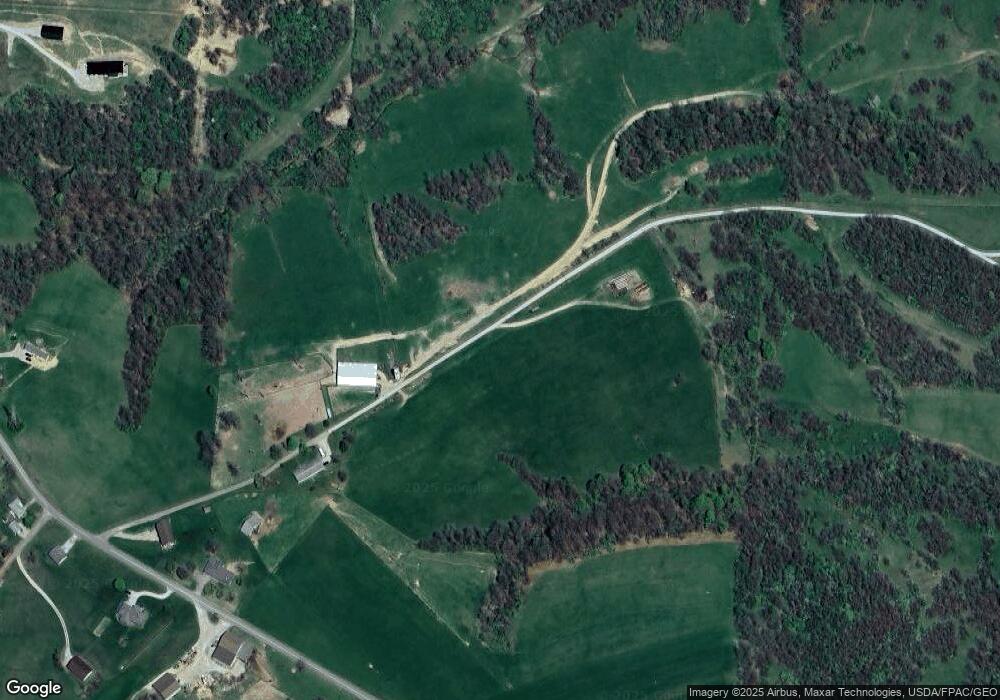
Map
Nearby Homes
- 135 S Moose Eye Rd
- 0 Rix Mills Rd
- 2043 Southern Rd
- 0 Homestead Dr Unit 11611647
- 0 Homestead Dr Unit 5174212
- 0 Maple Ln
- 101 N Sundale Rd
- 100 Linvale Dr
- 112 Thompson Ave
- 8 E Main St
- 67 E Main St
- 110 Cherry Ln
- 515 Norwich Valley Rd
- 1420 Glenn Hwy
- 60040 Bliss Rd
- 12985 John Glenn School Rd
- Lot 18 & 19 Greenbriar Dr
- 3278 Rough & Ready Rd
- 61220 Kadon Dr
- 7915 East Pike
- 1300 Rix Mills Rd
- 1281 Rix Mills Rd
- 1235 Rix Mills Rd
- 1150 Rix Mills Rd
- 1130 Rix Mills Rd
- 1505 Rix Mills Rd
- 11822 Wilderness Ln
- 1105 Rix Mills Rd
- 1081 Rix Mills Rd
- 1075 Rix Mills Rd
- 1073 Rix Mills Rd
- 1071 Rix Mills Rd
- 12325 Patton Ln
- 1450 Rix Mills Rd
- 920 Rix Mills Rd
- 12390 Shady Grove Rd
- 12680 Shady Grove Rd
- 12770 Shady Grove Rd
- 1651 Rix Mills Rd
- 12380 Shady Grove Rd