12244 Highway 55 Annandale, MN 55302
Estimated Value: $371,000 - $511,274
2
Beds
1
Bath
1,080
Sq Ft
$430/Sq Ft
Est. Value
About This Home
This home is located at 12244 Highway 55, Annandale, MN 55302 and is currently estimated at $464,319, approximately $429 per square foot. 12244 Highway 55 is a home with nearby schools including Annandale Elementary School, Annandale Middle School, and Annandale Senior High School.
Ownership History
Date
Name
Owned For
Owner Type
Purchase Details
Closed on
Sep 3, 2020
Sold by
Divine Son Llc
Bought by
Son Divine
Current Estimated Value
Home Financials for this Owner
Home Financials are based on the most recent Mortgage that was taken out on this home.
Interest Rate
2.99%
Purchase Details
Closed on
Jul 31, 2020
Home Financials for this Owner
Home Financials are based on the most recent Mortgage that was taken out on this home.
Interest Rate
2.99%
Purchase Details
Closed on
Mar 29, 1999
Sold by
Berent Eugene S and Berent Marilyn L
Bought by
Elijah Dale R
Create a Home Valuation Report for This Property
The Home Valuation Report is an in-depth analysis detailing your home's value as well as a comparison with similar homes in the area
Home Values in the Area
Average Home Value in this Area
Purchase History
| Date | Buyer | Sale Price | Title Company |
|---|---|---|---|
| Son Divine | -- | None Available | |
| -- | $300,000 | -- | |
| Elijah Dale R | $137,500 | -- |
Source: Public Records
Mortgage History
| Date | Status | Borrower | Loan Amount |
|---|---|---|---|
| Closed | -- | -- |
Source: Public Records
Tax History Compared to Growth
Tax History
| Year | Tax Paid | Tax Assessment Tax Assessment Total Assessment is a certain percentage of the fair market value that is determined by local assessors to be the total taxable value of land and additions on the property. | Land | Improvement |
|---|---|---|---|---|
| 2025 | $4,334 | $551,200 | $442,200 | $109,000 |
| 2024 | $3,704 | $516,200 | $410,800 | $105,400 |
| 2023 | $3,242 | $457,500 | $350,500 | $107,000 |
| 2022 | $3,012 | $369,000 | $266,100 | $102,900 |
| 2021 | $3,808 | $304,800 | $213,500 | $91,300 |
| 2020 | $3,876 | $366,500 | $278,600 | $87,900 |
| 2019 | $3,764 | $124,800 | $0 | $0 |
| 2018 | $3,612 | $238,000 | $0 | $0 |
| 2017 | $3,608 | $344,400 | $0 | $0 |
| 2016 | $3,644 | $0 | $0 | $0 |
| 2015 | $3,586 | $0 | $0 | $0 |
| 2014 | -- | $0 | $0 | $0 |
Source: Public Records
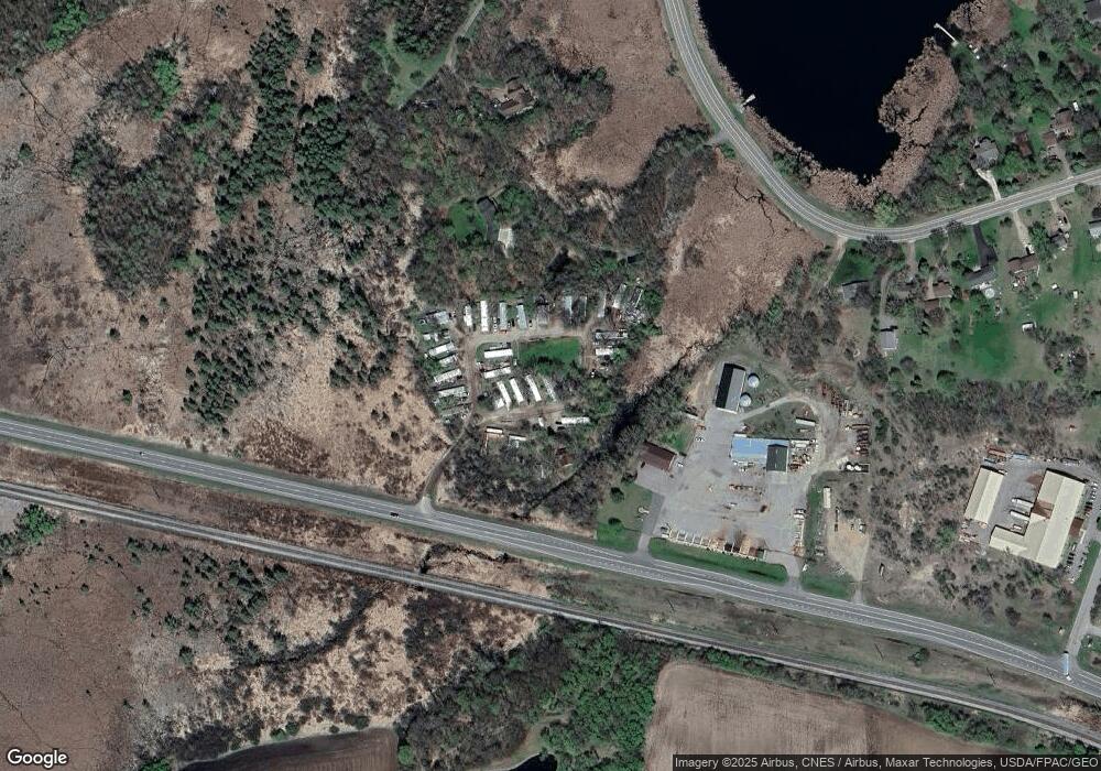
Map
Nearby Homes
- 350 Harrison St W
- TBD Harrison St W
- 70 Excelsior Ave N
- 7939 Lake John Dr
- 7551 Lake John Dr
- 7620 Lake John Dr
- 7581 Lake John Dr
- 180 Brown Ave S
- 7610 Lake John Dr
- 7560 Lake John Dr
- 330 Florence Ave S
- 320 Florence Ave S
- 310 Florence Ave S
- 340 Florence Ave S
- 350 Florence Ave S
- 360 Florence Ave S
- 370 Florence Ave S
- Olson Plan at Triplett Farms
- Lincoln Plan at Triplett Farms
- Goodhue Plan at Triplett Farms
- 8079 Montgomery Ave NW
- 8005 Montgomery Ave NW
- 8003 Montgomery Ave NW
- 8187 Montgomery Ave NW
- 675 Lake Dr W
- 665 Lake Dr W
- 655 Lake Dr W
- 650 Lake Dr W
- 8261 Montgomery Ave NW
- 645 Lake Dr W
- 635 Lake Dr W
- 630 Lake Dr W
- 625 Lake Dr W
- 615 Lake Dr W
- 600 Lake Dr W
- 340 Commercial Dr W
- 510 Lakeshore Cir
- 516 Lakeshore Cir
- 524 Lakeshore Cir
- 325 W Commercial Dr