12245 Mcdougal Rd Millfield, OH 45761
Estimated Value: $95,000 - $119,556
1
Bed
--
Bath
768
Sq Ft
$138/Sq Ft
Est. Value
About This Home
This home is located at 12245 Mcdougal Rd, Millfield, OH 45761 and is currently estimated at $105,639, approximately $137 per square foot. 12245 Mcdougal Rd is a home located in Athens County with nearby schools including Amesville Elementary School, Coolville Elementary School, and Federal Hocking Middle School.
Ownership History
Date
Name
Owned For
Owner Type
Purchase Details
Closed on
Jan 17, 2025
Sold by
Carter Jessica Laurel and Callahan Keith Marsher
Bought by
Valentour John E and Valentour Kimberly S
Current Estimated Value
Purchase Details
Closed on
Apr 22, 2015
Sold by
Callahan David B and Callahan Pamela
Bought by
Callahan Keith Marsher and Carter Jessica Laurel
Create a Home Valuation Report for This Property
The Home Valuation Report is an in-depth analysis detailing your home's value as well as a comparison with similar homes in the area
Purchase History
| Date | Buyer | Sale Price | Title Company |
|---|---|---|---|
| Valentour John E | $100,000 | None Listed On Document | |
| Valentour John E | $100,000 | None Listed On Document | |
| Callahan Keith Marsher | $10,000 | Attorney |
Source: Public Records
Tax History
| Year | Tax Paid | Tax Assessment Tax Assessment Total Assessment is a certain percentage of the fair market value that is determined by local assessors to be the total taxable value of land and additions on the property. | Land | Improvement |
|---|---|---|---|---|
| 2024 | $2,314 | $32,870 | $7,550 | $25,320 |
| 2023 | $1,567 | $32,870 | $7,550 | $25,320 |
| 2022 | $1,303 | $26,100 | $6,290 | $19,810 |
| 2021 | $1,308 | $26,100 | $6,290 | $19,810 |
| 2020 | $1,308 | $26,100 | $6,290 | $19,810 |
| 2019 | $1,165 | $23,220 | $5,420 | $17,800 |
| 2018 | $1,159 | $23,220 | $5,420 | $17,800 |
| 2017 | $1,559 | $23,220 | $5,420 | $17,800 |
| 2016 | $1,101 | $21,490 | $4,920 | $16,570 |
| 2015 | $252 | $3,700 | $3,590 | $110 |
| 2014 | $252 | $3,700 | $3,590 | $110 |
| 2013 | $198 | $3,050 | $2,940 | $110 |
Source: Public Records
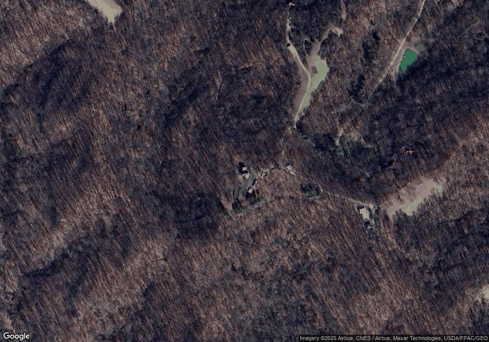
Map
Nearby Homes
- 14494 Keirns Rd
- 11711 Peach Ridge Rd
- 14611 State Route 13
- 156 N Monroe
- 0 Strouds Run Unit 2433166
- 0 Columbus Rd
- 14500 Wolfe Rd
- 13 Rallen Dr
- 10 Rallen Dr
- 44 Strathmore Blvd
- 58 Strathmore Blvd
- 36 Johnson Rd
- 10 Joneswood Dr
- 11 Mound St
- 39 E 3rd St
- 14 Euclid Dr
- 24 S Clinton
- 12 Mc Guffey Ln
- 0 E State St Unit 226002681
- 12 McGuffey Ln
- 12245 Mcdougal Rd
- 12235 Mcdougal Rd
- 12211 Mcdougal Rd
- 12205 Mcdougal Rd
- 12261 Mcdougal Rd
- 12210 Mcdougal Rd
- 12195 State Route 550
- 12250 Mcdougal Rd
- 13864 Keirns Rd
- 13670 N Peach Ridge Rd
- 12400 Mcdougal Rd
- 12551 State Route 550
- 13507 N Peach Ridge
- 13620 Sycks Rd
- 12440 Mcdougal Rd
- 12348 Mcdougal Rd
- 13611 Keirns Rd
- 13605 N Peach Ridge Rd
- 13611 Sycks Rd
- 11974 State Route 550
Your Personal Tour Guide
Ask me questions while you tour the home.