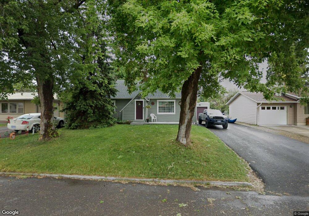
1225 5th St W Kalispell, MT 59901
Estimated Value: $362,000 - $429,000
4
Beds
1
Bath
1,210
Sq Ft
$337/Sq Ft
Est. Value
About This Home
This home is located at 1225 5th St W, Kalispell, MT 59901 and is currently estimated at $407,430, approximately $336 per square foot. 1225 5th St W is a home located in Flathead County with nearby schools including Lillian Peterson School, Kalispell Middle School, and Flathead High School.
Ownership History
Date
Name
Owned For
Owner Type
Purchase Details
Closed on
Mar 23, 2016
Sold by
Burglund Kyle R and Burglund Kyle
Bought by
Burglund Kyle R and Burglund Kari
Current Estimated Value
Home Financials for this Owner
Home Financials are based on the most recent Mortgage that was taken out on this home.
Original Mortgage
$160,000
Outstanding Balance
$126,639
Interest Rate
3.65%
Mortgage Type
VA
Estimated Equity
$280,791
Purchase Details
Closed on
May 1, 2007
Sold by
Swanson Tanner
Bought by
Burglund Kyle
Home Financials for this Owner
Home Financials are based on the most recent Mortgage that was taken out on this home.
Original Mortgage
$151,200
Interest Rate
7.6%
Mortgage Type
Adjustable Rate Mortgage/ARM
Create a Home Valuation Report for This Property
The Home Valuation Report is an in-depth analysis detailing your home's value as well as a comparison with similar homes in the area
Purchase History
| Date | Buyer | Sale Price | Title Company |
|---|---|---|---|
| Burglund Kyle R | -- | Atec | |
| Burglund Kyle | -- | Alliance Title |
Source: Public Records
Mortgage History
| Date | Status | Borrower | Loan Amount |
|---|---|---|---|
| Open | Burglund Kyle R | $160,000 | |
| Closed | Burglund Kyle | $151,200 |
Source: Public Records
Tax History Compared to Growth
Tax History
| Year | Tax Paid | Tax Assessment Tax Assessment Total Assessment is a certain percentage of the fair market value that is determined by local assessors to be the total taxable value of land and additions on the property. | Land | Improvement |
|---|---|---|---|---|
| 2025 | $2,118 | $429,200 | $0 | $0 |
| 2024 | $2,852 | $366,200 | $0 | $0 |
| 2023 | $3,344 | $366,200 | $0 | $0 |
| 2022 | $2,525 | $251,300 | $0 | $0 |
| 2021 | $2,705 | $251,300 | $0 | $0 |
| 2020 | $2,764 | $209,200 | $0 | $0 |
| 2019 | $2,771 | $209,200 | $0 | $0 |
| 2018 | $2,106 | $141,988 | $0 | $0 |
| 2017 | $2,108 | $141,988 | $0 | $0 |
| 2016 | $1,982 | $147,300 | $0 | $0 |
| 2015 | $1,977 | $147,300 | $0 | $0 |
| 2014 | $2,035 | $92,008 | $0 | $0 |
Source: Public Records
Map
Nearby Homes