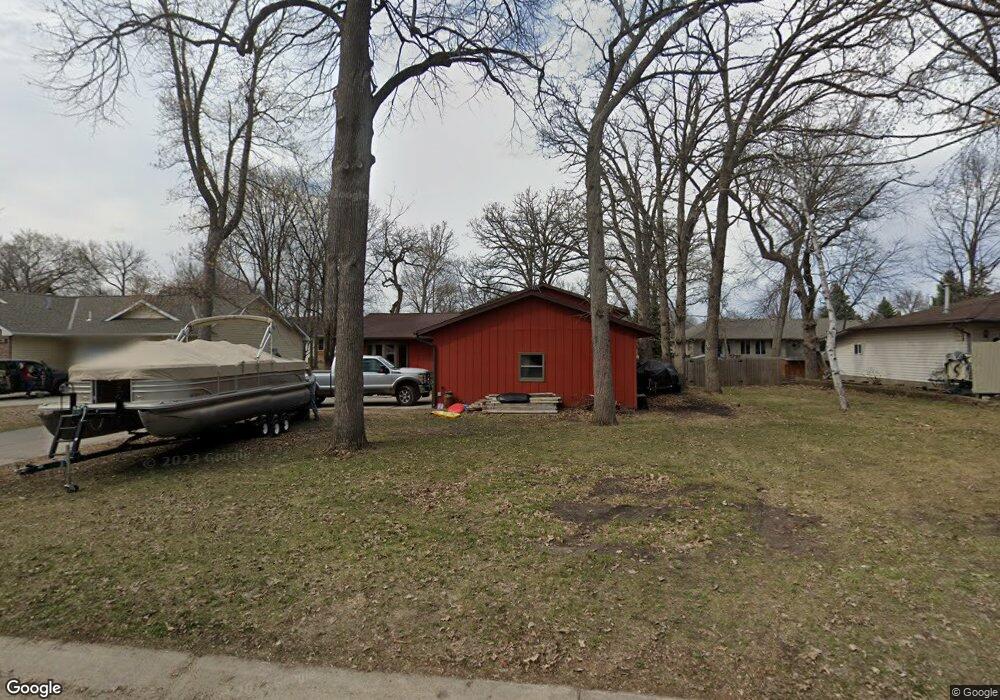
1225 7th Ave NW Hutchinson, MN 55350
Estimated Value: $292,282 - $356,000
3
Beds
3
Baths
2,052
Sq Ft
$153/Sq Ft
Est. Value
About This Home
This home is located at 1225 7th Ave NW, Hutchinson, MN 55350 and is currently estimated at $314,321, approximately $153 per square foot. 1225 7th Ave NW is a home located in McLeod County with nearby schools including Hutchinson West Elementary School, Hutchinson Park Elementary School, and Hutchinson Middle School.
Ownership History
Date
Name
Owned For
Owner Type
Purchase Details
Closed on
Sep 30, 2015
Sold by
Merkins Mandy Mandy
Bought by
Landfair Shelley Shelley
Current Estimated Value
Home Financials for this Owner
Home Financials are based on the most recent Mortgage that was taken out on this home.
Original Mortgage
$132,554
Outstanding Balance
$104,221
Interest Rate
3.86%
Estimated Equity
$210,100
Purchase Details
Closed on
Sep 23, 2011
Sold by
Turman Gwen
Bought by
Anderson Keith and Anderson Mandy
Home Financials for this Owner
Home Financials are based on the most recent Mortgage that was taken out on this home.
Original Mortgage
$108,400
Interest Rate
4.23%
Create a Home Valuation Report for This Property
The Home Valuation Report is an in-depth analysis detailing your home's value as well as a comparison with similar homes in the area
Home Values in the Area
Average Home Value in this Area
Purchase History
| Date | Buyer | Sale Price | Title Company |
|---|---|---|---|
| Landfair Shelley Shelley | $135,000 | -- | |
| Anderson Keith | $135,500 | -- | |
| Turman Gwen | -- | Crow River Title Guaranty In |
Source: Public Records
Mortgage History
| Date | Status | Borrower | Loan Amount |
|---|---|---|---|
| Open | Landfair Shelley Shelley | $132,554 | |
| Previous Owner | Turman Gwen | $108,400 |
Source: Public Records
Tax History Compared to Growth
Tax History
| Year | Tax Paid | Tax Assessment Tax Assessment Total Assessment is a certain percentage of the fair market value that is determined by local assessors to be the total taxable value of land and additions on the property. | Land | Improvement |
|---|---|---|---|---|
| 2024 | $3,648 | $272,000 | $53,500 | $218,500 |
| 2023 | $3,614 | $263,100 | $53,500 | $209,600 |
| 2022 | $3,304 | $248,700 | $51,000 | $197,700 |
| 2021 | $3,048 | $212,300 | $44,400 | $167,900 |
| 2020 | $2,868 | $189,400 | $40,400 | $149,000 |
| 2019 | $2,594 | $175,600 | $40,400 | $135,200 |
| 2018 | $2,540 | $0 | $0 | $0 |
| 2017 | $2,370 | $0 | $0 | $0 |
| 2016 | $2,242 | $0 | $0 | $0 |
| 2015 | $2,022 | $0 | $0 | $0 |
| 2014 | -- | $0 | $0 | $0 |
Source: Public Records
Map
Nearby Homes
- 490 California St NW
- XXX Golf Course Rd NW
- 525 Golf Course Rd NW
- 1379 Heritage Ave NW
- XXX 196th Rd
- 966 Osgood Ave SW
- 20790 196th Rd
- 1020 Roberts Rd SW
- 530 Lincoln Ave SW
- 126 Lynn Rd SW
- 545 4th Ave SW
- 230 Lynn Rd SW
- 642 Juul Rd SW
- 660 Lakewood Dr SW
- 702 Southview Ct SW
- 19044 Judson Ct
- 1042 8th Ave SW
- 724 Southview Dr SW
- 735 Sunset St SW
- 595 Milwaukee Ave SW
- 1225 1225 7th Ave NW
- 1235 1235 7th-Avenue-nw
- 1235 1235 7th Ave NW
- 1215 7th Ave NW
- 1235 7th Ave NW
- 1220 Carolina Ave NW
- 1210 Carolina Ave NW
- 1210 1210 Carolina Ave NW
- 1220 7th Ave NW
- 1240 Carolina Ave NW
- 1205 1205 7th Ave NW
- 1245 7th Ave NW
- 1205 7th Ave NW
- 1230 7th Ave NW
- 1210 7th Ave NW
- 1200 Carolina Ave NW
- 1200 7th Ave NW
- 1210 1210 Carolina-Avenue-nw
- 1255 7th Ave NW
- 1250 Carolina Ave NW