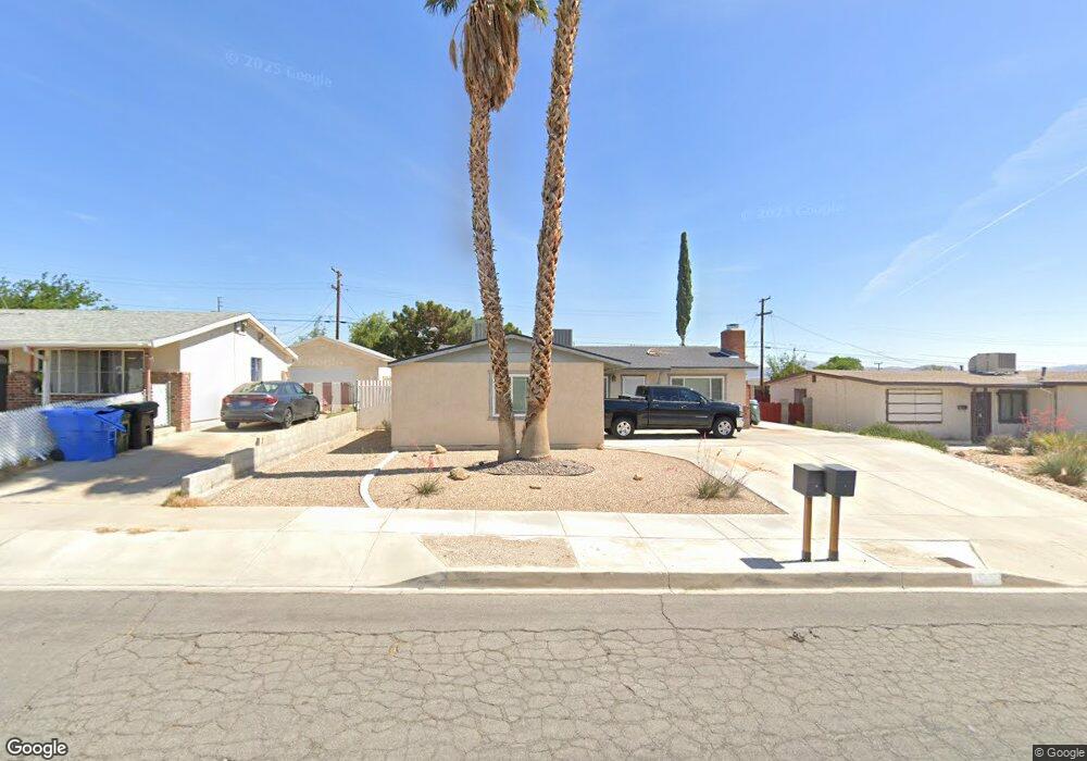
1225 Carson St Barstow, CA 92311
Estimated Value: $247,000 - $313,000
3
Beds
2
Baths
1,118
Sq Ft
$241/Sq Ft
Est. Value
About This Home
This home is located at 1225 Carson St, Barstow, CA 92311 and is currently estimated at $269,187, approximately $240 per square foot. 1225 Carson St is a home located in San Bernardino County with nearby schools including Barstow Junior High School, Barstow High School, and Mojave River Academy - Silver Mountain.
Ownership History
Date
Name
Owned For
Owner Type
Purchase Details
Closed on
Feb 8, 2017
Sold by
Ross Steven D and Ross Dianna L
Bought by
Cortez Richard R
Current Estimated Value
Home Financials for this Owner
Home Financials are based on the most recent Mortgage that was taken out on this home.
Original Mortgage
$104,000
Outstanding Balance
$85,841
Interest Rate
4.09%
Mortgage Type
New Conventional
Estimated Equity
$183,346
Create a Home Valuation Report for This Property
The Home Valuation Report is an in-depth analysis detailing your home's value as well as a comparison with similar homes in the area
Home Values in the Area
Average Home Value in this Area
Purchase History
| Date | Buyer | Sale Price | Title Company |
|---|---|---|---|
| Cortez Richard R | $130,000 | First American Title Company |
Source: Public Records
Mortgage History
| Date | Status | Borrower | Loan Amount |
|---|---|---|---|
| Open | Cortez Richard R | $104,000 |
Source: Public Records
Tax History Compared to Growth
Tax History
| Year | Tax Paid | Tax Assessment Tax Assessment Total Assessment is a certain percentage of the fair market value that is determined by local assessors to be the total taxable value of land and additions on the property. | Land | Improvement |
|---|---|---|---|---|
| 2025 | $1,655 | $150,877 | $37,719 | $113,158 |
| 2024 | $1,624 | $147,918 | $36,979 | $110,939 |
| 2023 | $1,588 | $145,018 | $36,254 | $108,764 |
| 2022 | $1,580 | $142,174 | $35,543 | $106,631 |
| 2021 | $1,533 | $139,386 | $34,846 | $104,540 |
| 2020 | $1,535 | $137,957 | $34,489 | $103,468 |
| 2019 | $1,453 | $135,252 | $33,813 | $101,439 |
| 2018 | $1,523 | $132,600 | $33,150 | $99,450 |
| 2017 | $986 | $95,195 | $21,970 | $73,225 |
| 2016 | $973 | $93,328 | $21,539 | $71,789 |
| 2015 | $952 | $91,926 | $21,215 | $70,711 |
| 2014 | $944 | $90,125 | $20,799 | $69,326 |
Source: Public Records
Map
Nearby Homes
- 1201 E Elizabeth St
- 700 Agnes Dr
- 610 Agnes Dr
- 1405 Piute St
- 541 Frances Dr
- 108 Cal Ave Unit 67
- 540 Frances Dr
- 950 Lance Dr
- 308 Muir Ave
- 313 Muir Ave
- 660 Kathleen Dr
- 520 Adele Dr
- 1574 Riverside Dr
- 620 Kathleen Dr
- 611 Lillian Dr
- 601 Lillian Dr
- 820 Lillian Dr
- 305 Beverly Ave
- 312 Grove Ave
- 1613 Riverside Dr