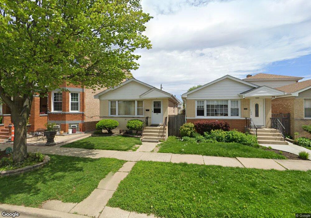
1225 Euclid Ave Berwyn, IL 60402
Estimated Value: $278,000 - $306,000
3
Beds
1
Bath
1,100
Sq Ft
$266/Sq Ft
Est. Value
About This Home
This home is located at 1225 Euclid Ave, Berwyn, IL 60402 and is currently estimated at $292,873, approximately $266 per square foot. 1225 Euclid Ave is a home located in Cook County with nearby schools including Prairie Oak School, Lincoln Middle School, and J. Sterling Morton High School West.
Ownership History
Date
Name
Owned For
Owner Type
Purchase Details
Closed on
Jan 3, 2006
Sold by
Schubert Joan M
Bought by
Schubert Joan M and Schubert Steven G
Current Estimated Value
Purchase Details
Closed on
Oct 7, 2002
Sold by
Schubert Joan M and Schubert Joseph A
Bought by
Schubert Joan M
Purchase Details
Closed on
Jan 25, 2001
Sold by
Schubert Joan M
Bought by
Schubert Joan M and Schubert Joseph A
Create a Home Valuation Report for This Property
The Home Valuation Report is an in-depth analysis detailing your home's value as well as a comparison with similar homes in the area
Home Values in the Area
Average Home Value in this Area
Purchase History
| Date | Buyer | Sale Price | Title Company |
|---|---|---|---|
| Schubert Joan M | -- | Prairie Title | |
| Schubert Joan M | -- | -- | |
| Schubert Joan M | -- | Prairie Title |
Source: Public Records
Tax History Compared to Growth
Tax History
| Year | Tax Paid | Tax Assessment Tax Assessment Total Assessment is a certain percentage of the fair market value that is determined by local assessors to be the total taxable value of land and additions on the property. | Land | Improvement |
|---|---|---|---|---|
| 2024 | $4,726 | $21,000 | $3,544 | $17,456 |
| 2023 | $5,175 | $21,000 | $3,544 | $17,456 |
| 2022 | $5,175 | $19,070 | $3,071 | $15,999 |
| 2021 | $4,990 | $19,069 | $3,071 | $15,998 |
| 2020 | $5,013 | $19,069 | $3,071 | $15,998 |
| 2019 | $4,499 | $17,082 | $2,756 | $14,326 |
| 2018 | $4,318 | $17,082 | $2,756 | $14,326 |
| 2017 | $4,226 | $17,082 | $2,756 | $14,326 |
| 2016 | $3,916 | $13,538 | $2,283 | $11,255 |
| 2015 | $5,619 | $13,538 | $2,283 | $11,255 |
| 2014 | $3,685 | $13,538 | $2,283 | $11,255 |
| 2013 | $3,643 | $14,663 | $2,283 | $12,380 |
Source: Public Records
Map
Nearby Homes
- 1335 Wesley Ave
- 1336 Grove Ave
- 1156 Wesley Ave
- 1321 East Ave
- 1341 Kenilworth Ave
- 1183 S Scoville Ave
- 1442 Oak Park Ave
- 1135 S Oak Park Ave
- 1333 Clinton Ave
- 1324 Clinton Ave
- 1342 Clinton Ave
- 1510 Scoville Ave
- 1243 Elmwood Ave
- 7011 Roosevelt Rd
- 1223 S Elmwood Ave Unit TWO
- 1143 Clinton Ave
- 1435 Gunderson Ave
- 1125 Gunderson Ave
- 1424 Home Ave
- 1216 Wenonah Ave
- 1227 Euclid Ave
- 1229 Euclid Ave
- 1221 Euclid Ave
- 1231 Euclid Ave
- 1233 Euclid Ave
- 1215 Euclid Ave Unit 2
- 1215 Euclid Ave
- 1222 Wesley Ave
- 1226 Wesley Ave
- 1228 Wesley Ave
- 1237 Euclid Ave
- 1213 Euclid Ave
- 1218 Wesley Ave
- 1220 Wesley Ave
- 1216 Wesley Ave Unit S
- 1216 Wesley Ave
- 1230 Wesley Ave
- 1224 Euclid Ave
- 1241 Euclid Ave