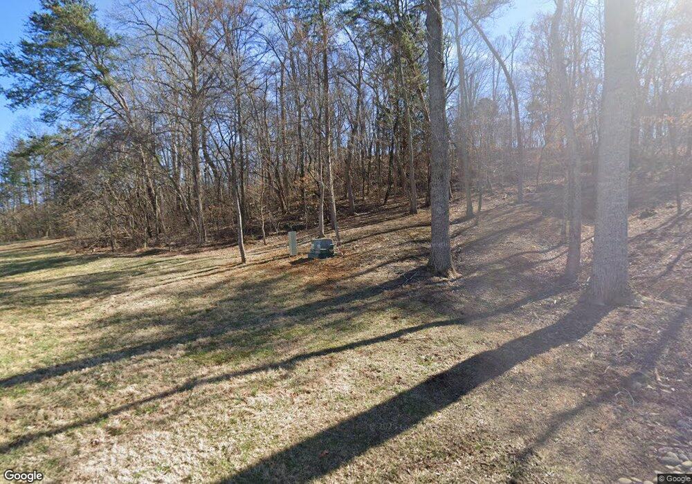
1225 Forrest Way Jefferson City, TN 37760
Estimated Value: $631,000 - $922,073
--
Bed
3
Baths
4,798
Sq Ft
$153/Sq Ft
Est. Value
About This Home
This home is located at 1225 Forrest Way, Jefferson City, TN 37760 and is currently estimated at $732,691, approximately $152 per square foot. 1225 Forrest Way is a home located in Jefferson County.
Ownership History
Date
Name
Owned For
Owner Type
Purchase Details
Closed on
Oct 21, 2022
Sold by
Hill James Michael and Hill Patti
Bought by
North Julie and North David
Current Estimated Value
Home Financials for this Owner
Home Financials are based on the most recent Mortgage that was taken out on this home.
Original Mortgage
$686,830
Outstanding Balance
$666,468
Interest Rate
6.94%
Estimated Equity
$66,223
Purchase Details
Closed on
Oct 19, 2021
Sold by
Quarles Douglas
Bought by
Hill James Michael and Hill Patti
Purchase Details
Closed on
Aug 24, 2018
Sold by
Hill Monte and Hill Rebecca
Bought by
Hill James Michael and Hill Patti Ann
Purchase Details
Closed on
Mar 8, 1995
Bought by
James Hill
Create a Home Valuation Report for This Property
The Home Valuation Report is an in-depth analysis detailing your home's value as well as a comparison with similar homes in the area
Home Values in the Area
Average Home Value in this Area
Purchase History
| Date | Buyer | Sale Price | Title Company |
|---|---|---|---|
| North Julie | -- | -- | |
| Hill James Michael | $2,000 | None Available | |
| Hill James Michael | -- | None Available | |
| James Hill | $2,145 | -- |
Source: Public Records
Mortgage History
| Date | Status | Borrower | Loan Amount |
|---|---|---|---|
| Open | North Julie | $686,830 |
Source: Public Records
Tax History Compared to Growth
Tax History
| Year | Tax Paid | Tax Assessment Tax Assessment Total Assessment is a certain percentage of the fair market value that is determined by local assessors to be the total taxable value of land and additions on the property. | Land | Improvement |
|---|---|---|---|---|
| 2025 | $3,694 | $258,350 | $34,325 | $224,025 |
| 2023 | $3,631 | $157,850 | $0 | $0 |
| 2022 | $2,024 | $92,400 | $12,900 | $79,500 |
| 2021 | $2,024 | $92,400 | $12,900 | $79,500 |
| 2020 | $2,024 | $92,400 | $12,900 | $79,500 |
| 2019 | $2,024 | $92,400 | $12,900 | $79,500 |
| 2018 | $1,902 | $80,925 | $10,400 | $70,525 |
| 2017 | $1,902 | $80,925 | $10,400 | $70,525 |
| 2016 | $1,902 | $80,925 | $10,400 | $70,525 |
| 2015 | $1,902 | $80,925 | $10,400 | $70,525 |
| 2014 | $1,902 | $80,925 | $10,400 | $70,525 |
Source: Public Records
Map
Nearby Homes
- 183 S Chucky Pike
- 1001 Dumplin Valley Rd E
- 1946 Kaylee Dr
- 144 Snowbird Ln Unit 13
- 144 Snowbird Ln
- 1961 Kaylee Dr
- Lot 18 Kaylee Dr
- 1991 Kaylee Dr
- 1336 Tom Breeden Rd
- 1185 Chestnut Grove Rd
- 2013 Phagan Rd
- 000 Tilley Rd
- 11 Summerset Dr
- 1756 Mansfield Gap Rd
- 0 Lot 24 Summerset Dr
- Lot 24-A Summerset Dr
- 24 Summerset Dr
- 0 Lot 18 Summerset Farms Dr Unit 1307870
- 0 Lot 10 Summerset Dr Unit 1307749
- 0 Lot 10 Summerset Dr Unit RTC2936537
- 1253 Dumplin Valley Rd E
- 1249 Dumplin Valley Rd E
- 1231 Dumplin Valley Rd E
- 175 S Chucky Pike
- 1228 Dumplin Valley Rd E
- 1256 Dumplin Valley Rd E
- 1266 Dumplin Valley Rd E
- 1281 Dumplin Valley Rd E
- 11 Chucky Pike
- 161 S Chucky Pike
- 32 N Chucky Pike
- 6 N Chucky Pike
- 3 N Chucky Pike
- 2 N Chucky Pike
- 7 N Chucky Pike
- 139 S Chucky Pike
- 1307 Dumplin Valley Rd E
- 1304 Dumplin Valley Rd E
- 1272 Dumplin Valley Rd E
- 1272 Dumplin Valley Rd E
