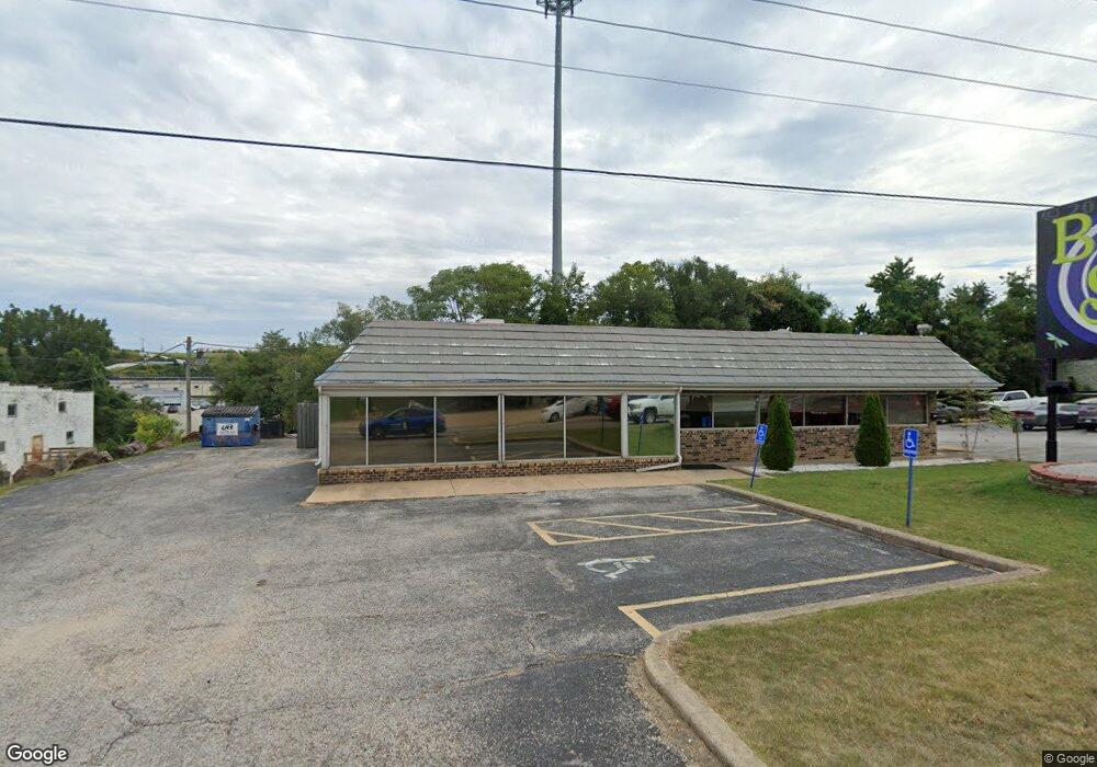
1225 N Main St Harrison, AR 72601
Estimated Value: $348,886
Studio
--
Bath
3,112
Sq Ft
$112/Sq Ft
Est. Value
About This Home
This home is located at 1225 N Main St, Harrison, AR 72601 and is currently estimated at $348,886, approximately $112 per square foot. 1225 N Main St is a home located in Boone County with nearby schools including Skyline Heights Elementary School, Harrison Jr. High School, and Harrison High School.
Ownership History
Date
Name
Owned For
Owner Type
Purchase Details
Closed on
Nov 15, 2021
Sold by
Marshas Midtown Cafe Llc
Bought by
Bs Spot Llc
Current Estimated Value
Home Financials for this Owner
Home Financials are based on the most recent Mortgage that was taken out on this home.
Original Mortgage
$258,742
Outstanding Balance
$59,452
Interest Rate
3.05%
Mortgage Type
Future Advance Clause Open End Mortgage
Estimated Equity
$289,434
Purchase Details
Closed on
Feb 6, 2019
Sold by
Yeager Terry and Yeager Family Revocable Trust
Bought by
Marshas Midtown Cafe Llc
Home Financials for this Owner
Home Financials are based on the most recent Mortgage that was taken out on this home.
Original Mortgage
$200,000
Interest Rate
4.5%
Mortgage Type
Future Advance Clause Open End Mortgage
Create a Home Valuation Report for This Property
The Home Valuation Report is an in-depth analysis detailing your home's value as well as a comparison with similar homes in the area
Purchase History
| Date | Buyer | Sale Price | Title Company |
|---|---|---|---|
| Bs Spot Llc | $280,000 | None Listed On Document | |
| Marshas Midtown Cafe Llc | $250,000 | Title Net Solutions Llc |
Source: Public Records
Mortgage History
| Date | Status | Borrower | Loan Amount |
|---|---|---|---|
| Open | Bs Spot Llc | $258,742 | |
| Previous Owner | Marshas Midtown Cafe Llc | $200,000 |
Source: Public Records
Tax History
| Year | Tax Paid | Tax Assessment Tax Assessment Total Assessment is a certain percentage of the fair market value that is determined by local assessors to be the total taxable value of land and additions on the property. | Land | Improvement |
|---|---|---|---|---|
| 2025 | $2,297 | $45,030 | $9,150 | $35,880 |
| 2024 | $2,297 | $45,030 | $9,150 | $35,880 |
| 2023 | $2,297 | $45,030 | $9,150 | $35,880 |
| 2022 | $2,297 | $45,030 | $9,150 | $35,880 |
| 2021 | $2,292 | $45,030 | $9,150 | $35,880 |
| 2020 | $2,084 | $40,860 | $9,150 | $31,710 |
| 2019 | $2,102 | $40,860 | $9,150 | $31,710 |
| 2018 | $2,102 | $40,860 | $9,150 | $31,710 |
| 2017 | $2,084 | $40,860 | $9,150 | $31,710 |
| 2016 | $2,084 | $40,860 | $9,150 | $31,710 |
| 2015 | $2,610 | $51,170 | $18,300 | $32,870 |
| 2014 | $2,610 | $51,170 | $18,300 | $32,870 |
Source: Public Records
Map
Nearby Homes
- 804 Smith Dr
- 0 N Sutton
- 1006 W Sherman Ave
- 421 W Bower Ave
- 1220 W Holt Ave
- 901 & 903 E Prospect Ave
- 1109 W Prospect Ave
- 1615 N Spring Rd
- 1615 N Spring Rd Unit 5
- 1615 N Spring Rd Unit 14
- 117 E Erie St
- 23 Hawthorne Dr
- 45 acres Inman Rd
- 627 E Sherman Ave
- 0 W Hwy 43 Unit 1298701
- 710 N Robinson St
- 12976 Arkansas 43
- 1400 Capps Rd
- 224 N Allen St
- 710 N Rowland St
- 1301 N Main St
- 1302 N Main St
- 1307 N Main St
- 1222 N Main St
- N Spruce St
- 801 Smith Dr
- 1309 N Main St
- 825 Floyd Ave
- 1207 N Spruce St
- 1208 N Spruce St
- 301 Highway 65
- 602 Highway 65
- 8585 U S Highway 62
- 7681 Highway 65
- 12554 U S Highway 62
- 412 west Us Highway 412
- 0 Us Highway 412
- 10401 Highway 65
- 0 U S Highway 62
- Hwy.65 Highway 65
Your Personal Tour Guide
Ask me questions while you tour the home.