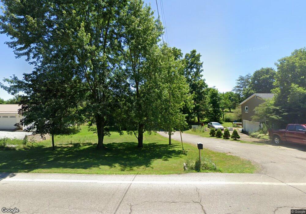
1225 State Route 96 Ashland, OH 44805
Estimated Value: $179,000 - $209,335
2
Beds
1
Bath
1,040
Sq Ft
$182/Sq Ft
Est. Value
About This Home
This home is located at 1225 State Route 96, Ashland, OH 44805 and is currently estimated at $189,084, approximately $181 per square foot. 1225 State Route 96 is a home located in Ashland County with nearby schools including Ashland High School, Ashland County Community Academy, and Ashland Christian Elementary School.
Ownership History
Date
Name
Owned For
Owner Type
Purchase Details
Closed on
Apr 12, 2024
Sold by
Kahn Kimberly D and Hatten Stella L
Bought by
Behrendsen Nicholas W and Behrendsen Lauren
Current Estimated Value
Home Financials for this Owner
Home Financials are based on the most recent Mortgage that was taken out on this home.
Original Mortgage
$130,500
Outstanding Balance
$128,550
Interest Rate
6.88%
Mortgage Type
New Conventional
Estimated Equity
$60,534
Purchase Details
Closed on
Jun 5, 2007
Sold by
Workman Virgil A
Bought by
Workman Clorita I
Purchase Details
Closed on
Aug 25, 1983
Bought by
Workman Virgil A
Create a Home Valuation Report for This Property
The Home Valuation Report is an in-depth analysis detailing your home's value as well as a comparison with similar homes in the area
Home Values in the Area
Average Home Value in this Area
Purchase History
| Date | Buyer | Sale Price | Title Company |
|---|---|---|---|
| Behrendsen Nicholas W | $145,000 | Mutual Title Agency | |
| Behrendsen Nicholas W | $145,000 | Mutual Title Agency | |
| Workman Clorita I | -- | -- | |
| Workman Virgil A | $36,000 | -- |
Source: Public Records
Mortgage History
| Date | Status | Borrower | Loan Amount |
|---|---|---|---|
| Open | Behrendsen Nicholas W | $130,500 | |
| Closed | Behrendsen Nicholas W | $130,500 |
Source: Public Records
Tax History Compared to Growth
Tax History
| Year | Tax Paid | Tax Assessment Tax Assessment Total Assessment is a certain percentage of the fair market value that is determined by local assessors to be the total taxable value of land and additions on the property. | Land | Improvement |
|---|---|---|---|---|
| 2024 | $2,254 | $59,450 | $17,560 | $41,890 |
| 2023 | $2,254 | $59,450 | $17,560 | $41,890 |
| 2022 | $2,210 | $45,730 | $13,510 | $32,220 |
| 2021 | $1,716 | $45,720 | $13,500 | $32,220 |
| 2020 | $1,610 | $45,720 | $13,500 | $32,220 |
| 2019 | $1,479 | $39,670 | $10,610 | $29,060 |
| 2018 | $1,496 | $39,870 | $10,610 | $29,260 |
| 2017 | $1,483 | $39,870 | $10,610 | $29,260 |
| 2016 | $1,336 | $35,270 | $9,380 | $25,890 |
| 2015 | $1,321 | $35,270 | $9,380 | $25,890 |
| 2013 | $1,337 | $34,820 | $9,510 | $25,310 |
Source: Public Records
Map
Nearby Homes
- 1202 County Road 1356
- 905 Ridge Rd
- 1136 Overlook Dr
- 1170 Township Road 1426
- 1439 Township Road 1238
- 702 Sandusky St
- 1537 Short St
- 410 Ohio St
- 0 Westlake Dr
- 323 W 4th St
- 325 W 4th St
- 1115 Cottage St
- 427 W Main St
- 1026 Claremont Ave
- 101 W 12th St
- 1191 State Route 511
- 1471 Troy Rd
- 1440 Township Road 1106
- 827 Orange St
- 959 Avalon Dr
- 1235 State Route 96
- 1223 State Route 96
- 1227 State Route 96
- 1229 State Route 96
- 1226 State Route 96
- 1222 State Route 96
- 1230 State Route 96
- 1239 Township Road 1253
- 1251 Township Road 1253
- 1251 Twp Rd 1253
- 1236 State Route 96
- 1259 Township Road 1253
- 1240 Township Road 1253
- 1246 Ohio 96
- 1246 State Route 96
- 1252 Township Road 1253
- 1204 State Route 96
- 1248 Township Road 1253
- 1260 Township Road 1253
- 1254 Township Road 1253