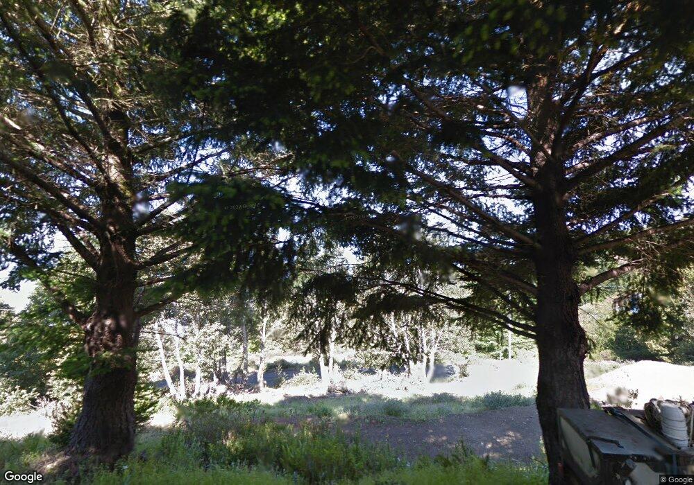
1226 Blueridge Rd Shelter Cove, CA 95589
Shelter Cove NeighborhoodEstimated Value: $64,000 - $377,000
--
Bed
--
Bath
--
Sq Ft
10,324
Sq Ft Lot
About This Home
This home is located at 1226 Blueridge Rd, Shelter Cove, CA 95589 and is currently estimated at $180,333. 1226 Blueridge Rd is a home located in Humboldt County.
Ownership History
Date
Name
Owned For
Owner Type
Purchase Details
Closed on
Jun 19, 2025
Sold by
Eva Family Administrative Trust and Tsoi Caroline Ka
Bought by
Kimura Amie Lou
Current Estimated Value
Purchase Details
Closed on
Apr 22, 2025
Sold by
Eva Family Trust and Tsoi Caroline Ka
Bought by
Eva Family Administrative Trust and Tsoi
Purchase Details
Closed on
Sep 8, 2021
Sold by
Tsoi Eva
Bought by
Tsoi Caroline Ka Ying and Eva Family Trust
Purchase Details
Closed on
Apr 11, 2017
Sold by
Tsoi Eva and Estate Of Takashi Kimura
Bought by
Tsoi Eva and Kimura Amie
Purchase Details
Closed on
Aug 9, 2007
Sold by
Kimura Takashi and Wu Rosemary P
Bought by
Kimura Takashi
Create a Home Valuation Report for This Property
The Home Valuation Report is an in-depth analysis detailing your home's value as well as a comparison with similar homes in the area
Home Values in the Area
Average Home Value in this Area
Purchase History
| Date | Buyer | Sale Price | Title Company |
|---|---|---|---|
| Kimura Amie Lou | -- | None Listed On Document | |
| Eva Family Administrative Trust | -- | None Listed On Document | |
| Tsoi Caroline Ka Ying | -- | None Available | |
| Tsoi Eva | -- | None Available | |
| Kimura Takashi | -- | None Available |
Source: Public Records
Tax History Compared to Growth
Tax History
| Year | Tax Paid | Tax Assessment Tax Assessment Total Assessment is a certain percentage of the fair market value that is determined by local assessors to be the total taxable value of land and additions on the property. | Land | Improvement |
|---|---|---|---|---|
| 2025 | $1,654 | $127,933 | $127,933 | -- |
| 2024 | $1,654 | $125,425 | $125,425 | -- |
| 2023 | $1,660 | $122,966 | $122,966 | $0 |
| 2022 | $1,638 | $120,555 | $120,555 | $0 |
| 2021 | $1,586 | $118,192 | $118,192 | $0 |
| 2020 | $1,594 | $116,981 | $116,981 | $0 |
| 2019 | $1,561 | $114,688 | $114,688 | $0 |
| 2018 | $1,539 | $112,440 | $112,440 | $0 |
| 2017 | $1,441 | $110,236 | $110,236 | $0 |
| 2016 | $1,433 | $108,075 | $108,075 | $0 |
| 2015 | $1,427 | $106,452 | $106,452 | $0 |
| 2014 | $1,354 | $104,367 | $104,367 | $0 |
Source: Public Records
Map
Nearby Homes
- 1071 Hillside Dr
- 1684 Toth Rd
- 1659 Toth Rd
- 85 Carson Ct
- 65 Carson Ct
- 454 & 474 Forest Rd
- 969 Willow Glen Rd
- 0 Willow Glen Rd
- 127 Cook Rd
- 171 Cook Rd
- 34 Vance Rd
- 60 Highview Cir
- 62 Highview Cir
- 205 Cook Rd
- 463 Cook Rd
- 58 Shasta Ct
- 7139 Shelter Cove Rd
- 258 Burns Ct
- 7431 Shelter Cove Rd
- 450 Hillside Dr
- 220 Hemlock Rd
- 1250 Blueridge Rd
- 246 Hemlock Rd
- 200 Hemlock Rd
- 258 Hemlock Rd
- 151 Hemlock Rd
- 1284 Blueridge Rd
- 290 Hemlock Rd
- 2115 Toth Rd
- 9 Hemlock Rd
- 2109 Toth Rd
- 144 Hemlock Rd
- 297 Hemlock Rd
- 1080 Hillside Dr
- 2159 Toth Rd
- 1143 Hillside Dr
- 985 Hillside Dr
- 15 Greenbriar Ct
- 1246 Hillside Dr
- 26-29 Ranger Ct
