1226 E Path Cotopaxi, CO 81223
Estimated Value: $444,711 - $506,000
2
Beds
2
Baths
1,422
Sq Ft
$330/Sq Ft
Est. Value
About This Home
This home is located at 1226 E Path, Cotopaxi, CO 81223 and is currently estimated at $469,178, approximately $329 per square foot. 1226 E Path is a home located in Fremont County with nearby schools including Cotopaxi Elementary School and Cotopaxi Junior/Senior High School.
Create a Home Valuation Report for This Property
The Home Valuation Report is an in-depth analysis detailing your home's value as well as a comparison with similar homes in the area
Tax History
| Year | Tax Paid | Tax Assessment Tax Assessment Total Assessment is a certain percentage of the fair market value that is determined by local assessors to be the total taxable value of land and additions on the property. | Land | Improvement |
|---|---|---|---|---|
| 2025 | $1,494 | $28,911 | $0 | $0 |
Source: Public Records
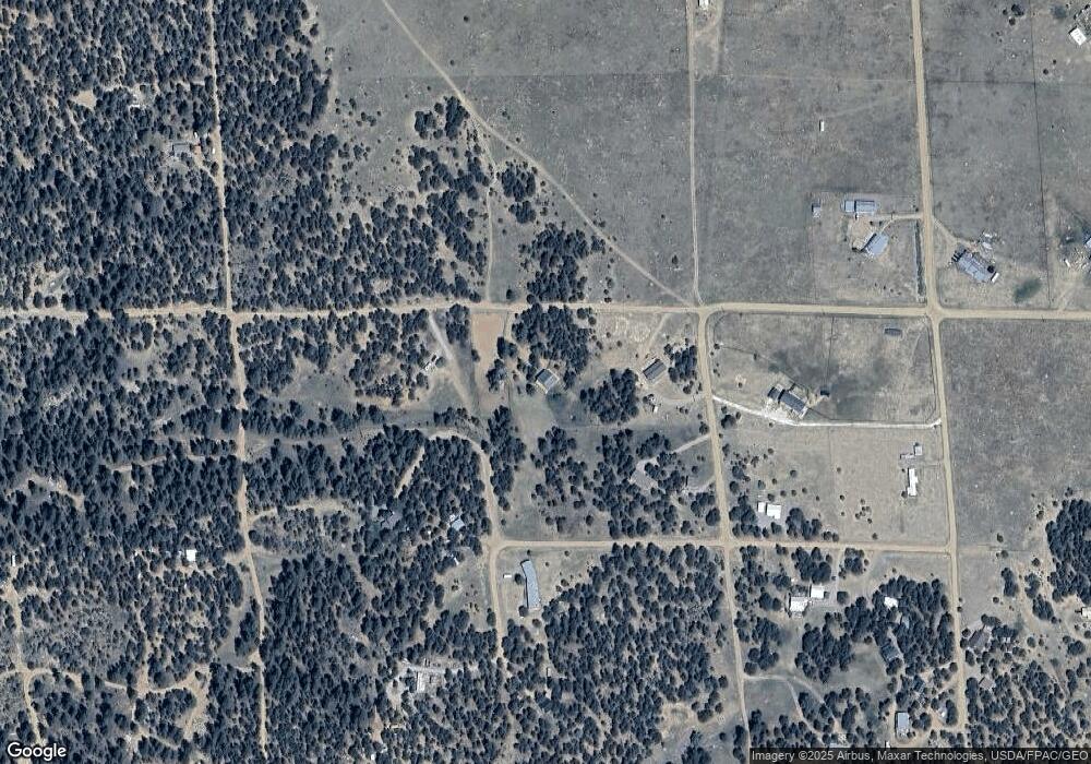
Map
Nearby Homes
- 439 15th Trail
- TBD G Path
- 0 G Path
- 1012 17th Trail
- 547 Blazing Saddle Trail
- 763 17th Trail
- 0 Gulch Rd Unit REC8475114
- 000 E Path
- TBD L 7th Trail
- 395 Gibbons Trailway
- 0 County Road 28 Unit 24376279
- 0 B St Unit 25-1222
- Tbd B St
- 474 Deer Run Dr
- 639 15th Trail
- 1839 15th Trail
- 863 15th Trail
- 1048 Blazing Saddle Trail
- TBD L I Path
- 104 Sleepy Hollow Trail
Your Personal Tour Guide
Ask me questions while you tour the home.