1226 Liberty Ln Gallatin, TN 37066
Estimated Value: $1,658,000 - $2,446,761
--
Bed
5
Baths
7,696
Sq Ft
$267/Sq Ft
Est. Value
About This Home
This home is located at 1226 Liberty Ln, Gallatin, TN 37066 and is currently estimated at $2,052,381, approximately $266 per square foot. 1226 Liberty Ln is a home located in Sumner County with nearby schools including Station Camp High School.
Ownership History
Date
Name
Owned For
Owner Type
Purchase Details
Closed on
Mar 14, 2018
Sold by
Carver Joseph H and Carver Julie A
Bought by
Carver Joseph H and Carver Revocable Livi Joseph H
Current Estimated Value
Purchase Details
Closed on
Feb 13, 2006
Sold by
Towe Paul Harvey
Bought by
Carver Joseph H and Carver Julie A
Purchase Details
Closed on
Apr 10, 2000
Sold by
Bridges Millard C and Bridges Teresa
Bought by
Hufstedler Joseph D and Hufstedler Alice M
Home Financials for this Owner
Home Financials are based on the most recent Mortgage that was taken out on this home.
Original Mortgage
$80,000
Interest Rate
8%
Create a Home Valuation Report for This Property
The Home Valuation Report is an in-depth analysis detailing your home's value as well as a comparison with similar homes in the area
Home Values in the Area
Average Home Value in this Area
Purchase History
| Date | Buyer | Sale Price | Title Company |
|---|---|---|---|
| Carver Joseph H | -- | None Available | |
| Carver Joseph H | $630,000 | Bluegrass Title Company | |
| Hufstedler Joseph D | $119,000 | -- |
Source: Public Records
Mortgage History
| Date | Status | Borrower | Loan Amount |
|---|---|---|---|
| Previous Owner | Hufstedler Joseph D | $80,000 |
Source: Public Records
Tax History Compared to Growth
Tax History
| Year | Tax Paid | Tax Assessment Tax Assessment Total Assessment is a certain percentage of the fair market value that is determined by local assessors to be the total taxable value of land and additions on the property. | Land | Improvement |
|---|---|---|---|---|
| 2024 | $5,729 | $403,175 | $36,450 | $366,725 |
| 2023 | $6,273 | $278,550 | $27,825 | $250,725 |
| 2022 | $6,301 | $278,550 | $27,825 | $250,725 |
| 2021 | $6,301 | $278,550 | $27,825 | $250,725 |
| 2020 | $6,301 | $278,550 | $27,825 | $250,725 |
| 2019 | $6,301 | $0 | $0 | $0 |
| 2018 | $5,577 | $0 | $0 | $0 |
| 2017 | $5,577 | $0 | $0 | $0 |
| 2016 | $5,577 | $0 | $0 | $0 |
| 2015 | -- | $0 | $0 | $0 |
| 2014 | -- | $0 | $0 | $0 |
Source: Public Records
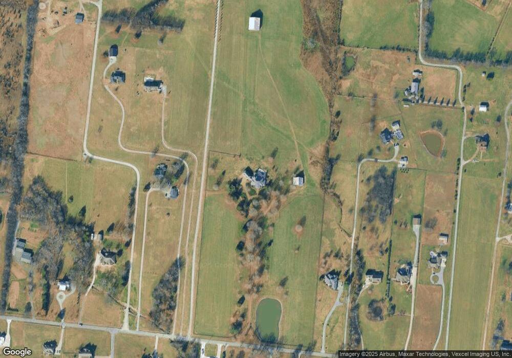
Map
Nearby Homes
- 1176 Liberty Ln
- 662 Neals Ln
- 650 Neals Ln
- 2045 Liberty Ln
- 315 Cummings Ln
- 1869 Tennessee 25
- 1017 Wickshire Dr
- 1328 Wentworth Dr
- 1036 Middleton Ln
- 540 Bradford Dr
- 305 Remington Ave
- 300 Remington Ave
- 1273 Wentworth Dr
- 0 Franklin Rd
- 608 Bradford Dr
- 1245 Amherst Ct
- 1239 Wentworth Dr
- 420 Dorchester Place
- 308 Collier Ln
- 415 Buckingham Blvd
- 1258 Liberty Ln
- 1212 Liberty Ln
- 1206 Liberty Ln
- 1200 Liberty Ln
- 1300 Liberty Ln
- 1196 Liberty Ln
- 1250 Liberty Ln Unit A
- 1250 Liberty Ln Unit A
- 1250 Liberty Ln
- 1250 Liberty Ln Unit A
- 188B Liberty Ln
- 1233 Liberty Ln
- 1225 Liberty Ln
- 1229 Liberty Ln
- 1192 Liberty Ln
- 1240 Liberty Ln
- 1255 Liberty Ln
- 1308 Liberty Ln
- 1188A Liberty Ln
- 1266 Liberty Ln