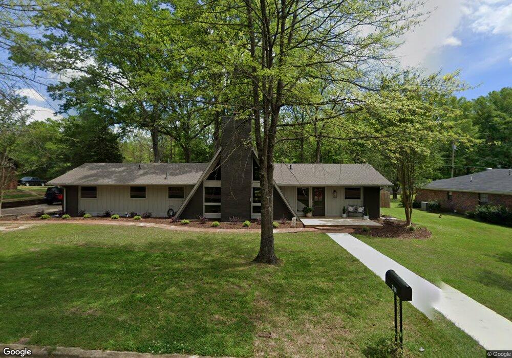
1226 Mapleview Rd West Point, MS 39773
Estimated Value: $238,000 - $291,952
3
Beds
--
Bath
2,115
Sq Ft
$121/Sq Ft
Est. Value
About This Home
This home is located at 1226 Mapleview Rd, West Point, MS 39773 and is currently estimated at $256,738, approximately $121 per square foot. 1226 Mapleview Rd is a home located in Clay County with nearby schools including East Side Elementary School, West Clay Elementary School, and Church Hill Elementary School.
Ownership History
Date
Name
Owned For
Owner Type
Purchase Details
Closed on
Nov 30, 2022
Sold by
Grindol Ronita Smith and Grindol Troy Allen
Bought by
Can Properties Llc and Piedmont Capital Group Llc
Current Estimated Value
Purchase Details
Closed on
Jul 14, 2009
Sold by
Smith Grindol Ronita
Bought by
Smith Grindol Ronita and Grindol Troy Allen
Create a Home Valuation Report for This Property
The Home Valuation Report is an in-depth analysis detailing your home's value as well as a comparison with similar homes in the area
Purchase History
| Date | Buyer | Sale Price | Title Company |
|---|---|---|---|
| Can Properties Llc | -- | -- | |
| Smith Grindol Ronita | -- | -- | |
| Skelton Stan | -- | -- |
Source: Public Records
Mortgage History
| Date | Status | Borrower | Loan Amount |
|---|---|---|---|
| Previous Owner | Skelton Stan | $128,000 |
Source: Public Records
Tax History
| Year | Tax Paid | Tax Assessment Tax Assessment Total Assessment is a certain percentage of the fair market value that is determined by local assessors to be the total taxable value of land and additions on the property. | Land | Improvement |
|---|---|---|---|---|
| 2025 | $446 | $15,716 | $2,500 | $13,216 |
| 2024 | $446 | $15,716 | $2,500 | $13,216 |
| 2023 | $2,971 | $19,853 | $3,750 | $16,103 |
| 2022 | $1,082 | $19,853 | $3,750 | $16,103 |
| 2021 | $1,079 | $19,853 | $3,750 | $16,103 |
| 2020 | $1,079 | $19,853 | $3,750 | $16,103 |
| 2019 | $1,018 | $19,707 | $3,750 | $15,957 |
| 2018 | $976 | $19,707 | $3,750 | $15,957 |
| 2017 | $976 | $19,707 | $3,750 | $15,957 |
| 2016 | $939 | $19,707 | $3,750 | $15,957 |
| 2015 | $892 | $18,106 | $3,750 | $14,356 |
| 2014 | $394 | $18,106 | $3,750 | $14,356 |
| 2013 | $394 | $18,106 | $3,750 | $14,356 |
Source: Public Records
Map
Nearby Homes
- 264 Mapleview Rd
- 161 Mapleview Rd
- 389 Mapleview Rd
- Lot 2 Waverly Rd
- Lot 6 Waverly Rd
- Lot 5 Waverly Rd
- Lot 3 Waverly Rd
- Lot 10 Waverly Rd
- Lot 8 Waverly Rd
- Lot 7 Waverly Rd
- Lot 9 Waverly Rd
- Lot 4 Waverly Rd
- Lot 11 Waverly Rd
- 15 David St
- 3986 E Church Hill Rd
- 44 Torbert Dr
- 405 S Eshman Ave
- 1046 E Brame Ave
- 472 S Eshman Ave
- 278 Converse Dr
- 304 Mapleview Rd
- 1218 Mapleview Rd
- 1230 Mapleview Rd
- 1239 Mapleview Rd
- 309 Mapleview Rd
- 1241 Mapleview Rd
- 1219 Mapleview Rd
- 342 Mapleview Rd
- 1236 Mapleview Rd
- 1229 Mapleview Rd
- 1339 Elm Crest Cove
- 341 Mapleview Rd
- 1206 Mapleview Rd
- 1334 Elm Crest Cove
- 219 Mapleview Rd
- 60 Elm Crest Cove
- 1325 Elm Crest Cove
- 1316 Oak Dr
- 378 Mapleview Rd
- 1324 Elm Crest Cove
Your Personal Tour Guide
Ask me questions while you tour the home.