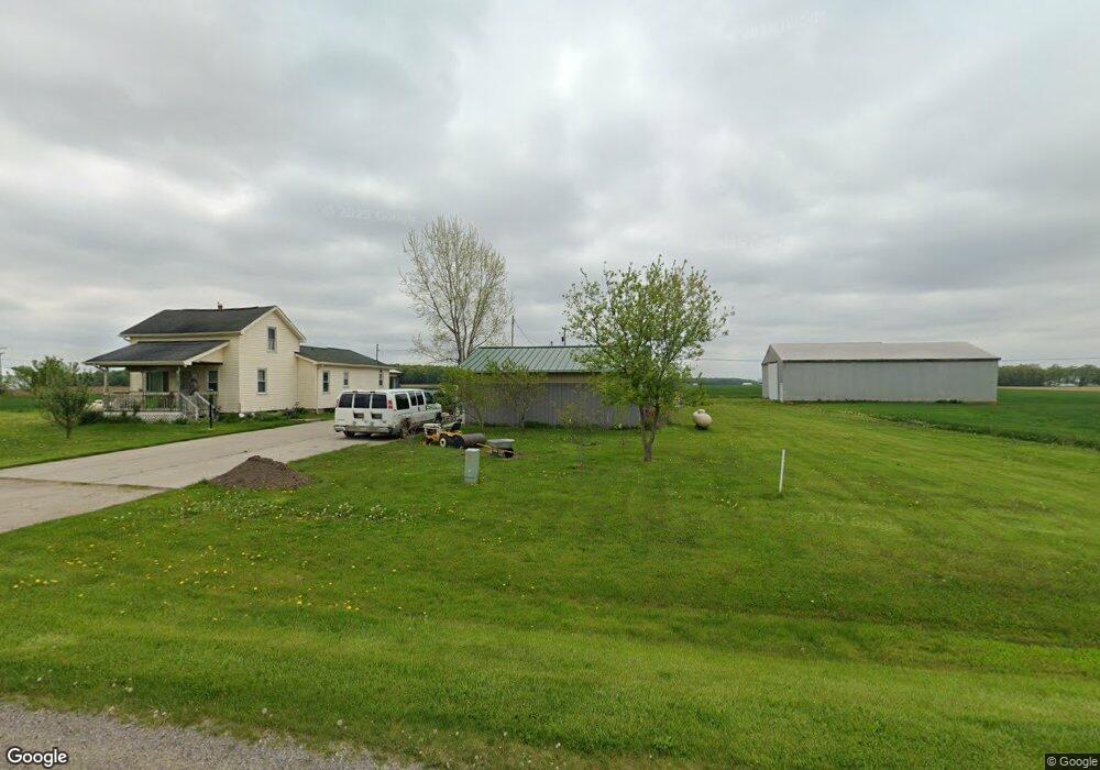
12263 W Pierson Rd Flushing, MI 48433
Estimated Value: $186,000 - $829,568
--
Bed
--
Bath
1,100
Sq Ft
$335/Sq Ft
Est. Value
About This Home
This home is located at 12263 W Pierson Rd, Flushing, MI 48433 and is currently estimated at $368,392, approximately $334 per square foot. 12263 W Pierson Rd is a home located in Genesee County with nearby schools including Seymour Elementary School, Flushing Middle School, and Flushing High School.
Ownership History
Date
Name
Owned For
Owner Type
Purchase Details
Closed on
Jan 20, 2011
Sold by
Mccartney Nicholas and Mccartney Hanna
Bought by
Mccartney Edward and Mccartney Joyce E
Current Estimated Value
Home Financials for this Owner
Home Financials are based on the most recent Mortgage that was taken out on this home.
Original Mortgage
$127,300
Outstanding Balance
$88,404
Interest Rate
4.82%
Mortgage Type
Future Advance Clause Open End Mortgage
Estimated Equity
$279,988
Create a Home Valuation Report for This Property
The Home Valuation Report is an in-depth analysis detailing your home's value as well as a comparison with similar homes in the area
Home Values in the Area
Average Home Value in this Area
Purchase History
| Date | Buyer | Sale Price | Title Company |
|---|---|---|---|
| Mccartney Edward | -- | Centennnial Title Ins Agcy I | |
| Mccartney Nicholas | $355,600 | Centennial Title Co |
Source: Public Records
Mortgage History
| Date | Status | Borrower | Loan Amount |
|---|---|---|---|
| Open | Mccartney Nicholas | $127,300 |
Source: Public Records
Tax History Compared to Growth
Tax History
| Year | Tax Paid | Tax Assessment Tax Assessment Total Assessment is a certain percentage of the fair market value that is determined by local assessors to be the total taxable value of land and additions on the property. | Land | Improvement |
|---|---|---|---|---|
| 2025 | $1,774 | $71,800 | $0 | $0 |
| 2024 | $904 | $69,100 | $0 | $0 |
| 2023 | $863 | $63,100 | $0 | $0 |
| 2022 | $1,573 | $56,700 | $0 | $0 |
| 2021 | $1,557 | $53,600 | $0 | $0 |
| 2020 | $803 | $51,600 | $0 | $0 |
| 2019 | $794 | $48,300 | $0 | $0 |
| 2018 | $1,441 | $42,400 | $0 | $0 |
| 2017 | $703 | $42,400 | $0 | $0 |
| 2016 | $1,324 | $41,900 | $0 | $0 |
| 2015 | $1,184 | $41,500 | $0 | $0 |
| 2014 | $692 | $39,200 | $0 | $0 |
| 2012 | -- | $37,400 | $37,400 | $0 |
Source: Public Records
Map
Nearby Homes
- 11358 W Carpenter Rd Rd
- 10167 W Pierson Rd
- 10101 Carpenter Rd
- 3372 Woodridge Dr
- 3462 Woodridge Dr
- 3470 Longmeadow Dr
- 9651 Juddville Rd
- 219 Primrose Ln
- 9493 Pine Needle Trail
- 309 Arthur St
- 227 Emily St
- 537 Sharon Dr
- 5284 Chickasaw Trail
- 0 Winters Eave Dr Unit 50117986
- 11186 W Stanley Rd
- 000 Potter Rd
- 5315 Chickasaw Trail
- 6289 W River Rd
- 538 Autumn Dr
- 9585 Henderson Rd
- 12263 W Pierson Rd
- 12282 W Pierson Rd
- 12195 W Pierson Rd
- 12357 W Pierson Rd
- 12222 W Pierson Rd
- 12370 W Pierson Rd
- 12127 W Pierson Rd
- 12422 W Pierson Rd
- 12116 W Pierson Rd
- 4121 Sheridan Rd
- 4139 Sheridan Rd
- 12056 W Pierson Rd
- 12085 W Pierson Rd
- 12041 W Pierson Rd
- 3505 Duffield Rd
- 12030 W Pierson Rd
- 3495 Duffield Rd
- 4229 Sheridan Rd
- 4041 Duffield Rd
- 12017 W Pierson Rd
