1227 Crocker Dr El Dorado Hills, CA 95762
Estimated Value: $1,061,000 - $1,588,345
5
Beds
4
Baths
4,074
Sq Ft
$336/Sq Ft
Est. Value
About This Home
This home is located at 1227 Crocker Dr, El Dorado Hills, CA 95762 and is currently estimated at $1,368,336, approximately $335 per square foot. 1227 Crocker Dr is a home located in El Dorado County with nearby schools including Lake Forest Elementary School, Marina Village Middle School, and Oak Ridge High School.
Ownership History
Date
Name
Owned For
Owner Type
Purchase Details
Closed on
Jan 21, 2009
Sold by
Petkov Peter and Petkova Irina
Bought by
Petkov Peter G and Petkova Irina I
Current Estimated Value
Purchase Details
Closed on
Feb 13, 2001
Sold by
Gandy Ray D and Gandy Norma
Bought by
Petkov Peter and Petkov Irina
Purchase Details
Closed on
Feb 16, 2000
Sold by
Summit Ii Ltd
Bought by
Gandy Ray D and Gandy Norma
Create a Home Valuation Report for This Property
The Home Valuation Report is an in-depth analysis detailing your home's value as well as a comparison with similar homes in the area
Home Values in the Area
Average Home Value in this Area
Purchase History
| Date | Buyer | Sale Price | Title Company |
|---|---|---|---|
| Petkov Peter G | -- | None Available | |
| Petkov Peter | $675,000 | Fidelity National Title Co | |
| Gandy Ray D | $130,000 | Placer Title Company |
Source: Public Records
Tax History Compared to Growth
Tax History
| Year | Tax Paid | Tax Assessment Tax Assessment Total Assessment is a certain percentage of the fair market value that is determined by local assessors to be the total taxable value of land and additions on the property. | Land | Improvement |
|---|---|---|---|---|
| 2025 | $11,106 | $1,060,719 | $256,148 | $804,571 |
| 2024 | $11,106 | $1,039,922 | $251,126 | $788,796 |
| 2023 | $10,814 | $1,019,532 | $246,202 | $773,330 |
| 2022 | $10,693 | $999,542 | $241,375 | $758,167 |
| 2021 | $10,620 | $979,944 | $236,643 | $743,301 |
| 2020 | $10,475 | $969,897 | $234,217 | $735,680 |
| 2019 | $10,333 | $950,880 | $229,625 | $721,255 |
| 2018 | $9,986 | $932,236 | $225,123 | $707,113 |
| 2017 | $9,751 | $913,958 | $220,709 | $693,249 |
| 2016 | $9,647 | $896,038 | $216,382 | $679,656 |
| 2015 | $9,484 | $882,581 | $213,133 | $669,448 |
| 2014 | $9,358 | $865,295 | $208,959 | $656,336 |
Source: Public Records
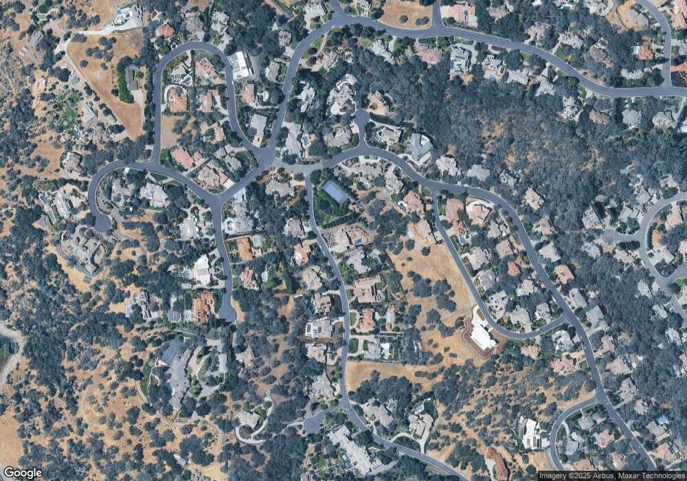
Map
Nearby Homes
- 2094 Huntington Cir
- 2044 Lockridge Place
- 1712 Carnegie Way
- 1346 Crocker Dr
- 0 Guadalupe Dr Unit 225081944
- 2186 Outrigger Dr
- 2214 Outrigger Dr
- 1998 Driftwood Cir
- 2022 Ahoy Ct
- 1950 Portsmouth Dr
- 520 Torero Way
- 2264 Ashford Place
- 531 Torero Way
- 2322 Carlisle Ct
- 1 Linhurst Ct
- 2219 Cardiff Cir
- 3505 Brandt Ct
- 2117 Edington Place
- 841 Villa Del Sol
- 3501 Lantern Ct
- 1239 Crocker Dr
- 1226 Crocker Dr
- 574 Lakecrest Dr
- 1218 Crocker Dr
- 1238 Crocker Dr
- 556 Lakecrest Dr
- 1247 Crocker Dr
- 582 Lakecrest Dr
- 1246 Crocker Dr
- 1012 Columbia Cir
- 1230 Promontory Point Dr
- 1024 Columbia Cir
- 1255 Crocker Dr
- 551 Lakecrest Dr
- 3115 Hopkins Place
- 3121 Hopkins Place
- 1256 Crocker Dr
- 1240 Promontory Point Dr
- 3105 Hopkins Place
- 565 Lakecrest Dr