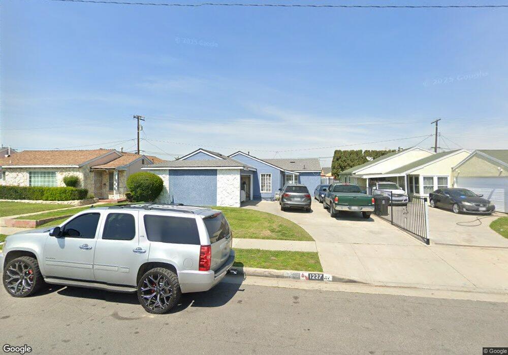
1227 E 139th St Compton, CA 90222
Estimated Value: $559,000 - $606,000
3
Beds
1
Bath
1,103
Sq Ft
$523/Sq Ft
Est. Value
About This Home
This home is located at 1227 E 139th St, Compton, CA 90222 and is currently estimated at $576,544, approximately $522 per square foot. 1227 E 139th St is a home located in Los Angeles County with nearby schools including Ronald E. McNair Elementary School, Enterprise Middle School, and Centennial High School.
Create a Home Valuation Report for This Property
The Home Valuation Report is an in-depth analysis detailing your home's value as well as a comparison with similar homes in the area
Home Values in the Area
Average Home Value in this Area
Tax History
| Year | Tax Paid | Tax Assessment Tax Assessment Total Assessment is a certain percentage of the fair market value that is determined by local assessors to be the total taxable value of land and additions on the property. | Land | Improvement |
|---|---|---|---|---|
| 2025 | $1,154 | $40,622 | $18,350 | $22,272 |
| 2024 | $1,154 | $39,827 | $17,991 | $21,836 |
| 2023 | $1,142 | $39,047 | $17,639 | $21,408 |
| 2022 | $1,100 | $38,283 | $17,294 | $20,989 |
| 2021 | $1,094 | $37,533 | $16,955 | $20,578 |
| 2019 | $1,070 | $36,421 | $16,453 | $19,968 |
| 2018 | $982 | $35,708 | $16,131 | $19,577 |
| 2016 | $926 | $34,323 | $15,505 | $18,818 |
| 2015 | $900 | $33,809 | $15,273 | $18,536 |
| 2014 | $897 | $33,147 | $14,974 | $18,173 |
Source: Public Records
Map
Nearby Homes
- 14118 S Zamora Ave
- 1619 W 136th St
- 14016 S Albertson Ave
- 1918 W Piru St
- 14003 S Nestor Ave
- 1805 N Central Ave
- 9607 S Evers Ave
- 1410 W Stockwell St
- 1406 W Stockwell St
- 1418 W 134th St
- 1201 W 138th St
- 1209 W 136th St
- 800 N Kalsman Ave
- 14502 S Keene Ave
- 14513 S Loness Ave
- 2015 N Belhaven Ave
- 2109 N Bahama Ave
- 14605 S Bahama Ave
- 1036 W Stockwell St
- 2215 W 132nd St
- 1233 E 139th St
- 1223 E 139th St
- 1237 E 139th St
- 1217 E 139th St
- 1904 W 138th St
- 1908 W 138th St
- 1900 W 138th St
- 1912 W 138th St
- 1243 E 139th St
- 1213 E 139th St
- 1812 W 138th St
- 1228 E 139th St
- 1224 E 139th St
- 1234 E 139th St
- 1218 E 139th St
- 1916 W 138th St
- 1238 E 139th St
- 1810 W 138th St
- 1209 E 139th St
- 1247 E 139th St
Your Personal Tour Guide
Ask me questions while you tour the home.