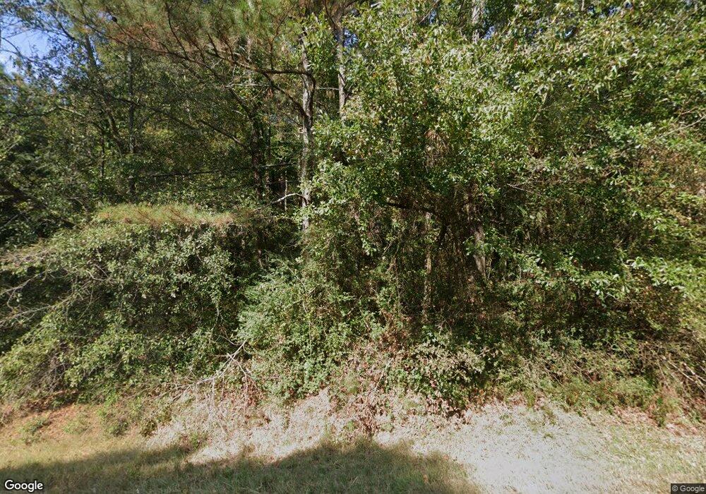
1227 E Highway 166 Bowdon, GA 30108
Estimated Value: $363,000 - $409,809
3
Beds
3
Baths
2,745
Sq Ft
$141/Sq Ft
Est. Value
About This Home
This home is located at 1227 E Highway 166, Bowdon, GA 30108 and is currently estimated at $386,405, approximately $140 per square foot. 1227 E Highway 166 is a home located in Carroll County with nearby schools including Bowdon Elementary School, Bowdon Middle School, and Bowdon High School.
Ownership History
Date
Name
Owned For
Owner Type
Purchase Details
Closed on
Feb 4, 2025
Sold by
Witt James C
Bought by
Witt Yancy Max
Current Estimated Value
Purchase Details
Closed on
Oct 24, 2014
Sold by
Witt James C
Bought by
Witt James C and Witt Wanda A
Purchase Details
Closed on
Apr 14, 2014
Sold by
Gates Leslie Witt
Bought by
Witt James C
Purchase Details
Closed on
Jul 5, 2007
Sold by
Witt Edna S
Bought by
Department Of Transportation
Purchase Details
Closed on
Aug 28, 2003
Sold by
Witt L E Jr Estate
Bought by
Witt Edna S
Purchase Details
Closed on
Dec 29, 1970
Bought by
Witt Witt L and Witt Edna S
Create a Home Valuation Report for This Property
The Home Valuation Report is an in-depth analysis detailing your home's value as well as a comparison with similar homes in the area
Purchase History
| Date | Buyer | Sale Price | Title Company |
|---|---|---|---|
| Witt Yancy Max | -- | -- | |
| Witt James C | -- | -- | |
| Witt James C | -- | -- | |
| Department Of Transportation | -- | -- | |
| Witt Edna S | -- | -- | |
| Witt Witt L | -- | -- |
Source: Public Records
Tax History Compared to Growth
Tax History
| Year | Tax Paid | Tax Assessment Tax Assessment Total Assessment is a certain percentage of the fair market value that is determined by local assessors to be the total taxable value of land and additions on the property. | Land | Improvement |
|---|---|---|---|---|
| 2025 | $452 | $169,375 | $36,439 | $132,936 |
| 2024 | $458 | $169,375 | $36,439 | $132,936 |
| 2023 | $458 | $152,590 | $29,151 | $123,439 |
| 2022 | $545 | $118,584 | $19,434 | $99,150 |
| 2021 | $549 | $103,743 | $15,547 | $88,196 |
| 2020 | $552 | $90,146 | $14,134 | $76,012 |
| 2019 | $509 | $78,527 | $14,134 | $64,393 |
| 2018 | $1,801 | $72,576 | $13,209 | $59,367 |
| 2017 | $1,547 | $72,576 | $13,209 | $59,367 |
| 2016 | $1,168 | $54,281 | $13,209 | $41,072 |
| 2015 | $704 | $36,534 | $14,551 | $21,984 |
| 2014 | $145 | $36,534 | $14,551 | $21,984 |
Source: Public Records
Map
Nearby Homes
- 90 Washington St
- 183 Madden Rd
- Plan 1709 at Scarlett Place
- Plan 2709 at Scarlett Place
- Plan 2316 at Scarlett Place
- Plan 1902 at Scarlett Place
- Plan 2100 at Scarlett Place
- Plan 1643 at Scarlett Place
- Plan 2307 at Scarlett Place
- Plan 2131 at Scarlett Place
- 112 Scarlett Place Dr Unit 36
- 112 Scarlett Place Dr
- 216 Rhett Dr
- 216 Rhett Dr Unit 12
- 145 Scarlett Place Dr Unit 18
- 145 Scarlett Place Dr
- 305 Melanie Ct Unit 24
- 305 Melanie Ct
- 153 Scarlett Place Dr Unit 20
- 153 Scarlett Place Dr
- 1175 Georgia 166
- 0 N Jonesville Rd Unit 147540
- 0 N Jonesville Rd Unit 20092641
- 0 N Jonesville Rd Unit 10031009
- 1175 E Highway 166
- 828/830 E Highway 166
- 68 Dixon Rd
- 1240 E Highway 166
- 1285 E Highway 166
- 1285 E Highway 166
- 1240 Georgia 166
- 26 N Jonesville Rd
- 1150 E Highway 166
- 1317 E Highway 166
- 100 Dixon Rd
- 123 Dixson Rd
- 1138 E College St
- 123 Dixon Rd
- 594 W Jonesville Rd
- 1141 E College St
