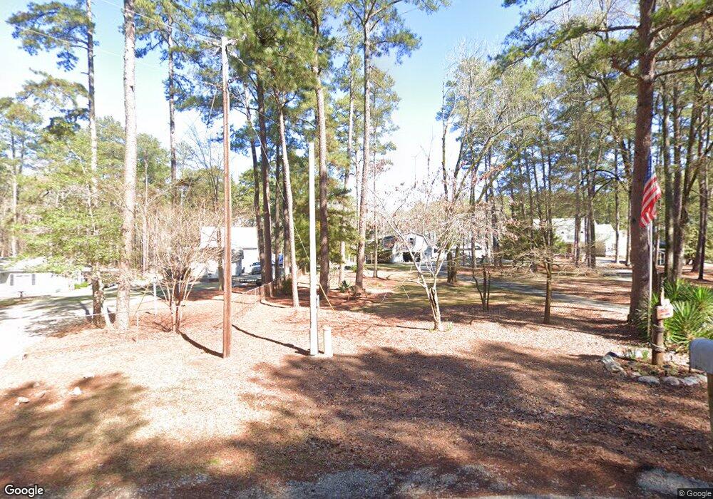
1227 Lakeside Dr Lincolnton, GA 30817
Estimated Value: $451,000 - $574,000
3
Beds
2
Baths
1,961
Sq Ft
$247/Sq Ft
Est. Value
About This Home
This home is located at 1227 Lakeside Dr, Lincolnton, GA 30817 and is currently estimated at $484,718, approximately $247 per square foot. 1227 Lakeside Dr is a home located in Lincoln County with nearby schools including Lincoln County Elementary School, Lincoln County Middle School, and Lincoln County High School.
Ownership History
Date
Name
Owned For
Owner Type
Purchase Details
Closed on
Apr 7, 2003
Sold by
Lessard William
Bought by
Lessard William D and Livingtr Lula H
Current Estimated Value
Purchase Details
Closed on
Jun 24, 1983
Sold by
Hamilton Hamilton L and Hamilton Mabel
Bought by
Lessard William
Purchase Details
Closed on
Apr 29, 1972
Sold by
Maxwell Maxwell J and Maxwell Jewell
Bought by
Hamilton Hamilton L and Hamilton Mabel
Create a Home Valuation Report for This Property
The Home Valuation Report is an in-depth analysis detailing your home's value as well as a comparison with similar homes in the area
Home Values in the Area
Average Home Value in this Area
Purchase History
| Date | Buyer | Sale Price | Title Company |
|---|---|---|---|
| Lessard William D | -- | -- | |
| Lessard William | $30,000 | -- | |
| Hamilton Hamilton L | $14,800 | -- |
Source: Public Records
Tax History Compared to Growth
Tax History
| Year | Tax Paid | Tax Assessment Tax Assessment Total Assessment is a certain percentage of the fair market value that is determined by local assessors to be the total taxable value of land and additions on the property. | Land | Improvement |
|---|---|---|---|---|
| 2025 | $4,533 | $178,344 | $48,000 | $130,344 |
| 2024 | $4,654 | $170,264 | $48,000 | $122,264 |
| 2023 | $3,655 | $148,724 | $48,000 | $100,724 |
| 2022 | $3,799 | $145,564 | $48,000 | $97,564 |
| 2021 | $3,961 | $137,696 | $48,000 | $89,696 |
| 2020 | $3,611 | $107,416 | $48,000 | $59,416 |
| 2019 | $3,625 | $107,416 | $48,000 | $59,416 |
| 2018 | $3,382 | $107,616 | $48,000 | $59,616 |
| 2017 | $3,382 | $107,592 | $48,000 | $59,592 |
| 2016 | $3,474 | $107,592 | $48,000 | $59,592 |
| 2015 | -- | $107,592 | $48,000 | $59,592 |
| 2014 | -- | $107,592 | $48,000 | $59,592 |
| 2013 | -- | $107,592 | $48,000 | $59,592 |
Source: Public Records
Map
Nearby Homes
- 1179 Lakeside Dr
- 1129 Lakeside Dr
- 1085 Lake Dr
- 1051 Lake Dr
- 1016 Hidden Lake Ct
- 1164 Sally Ann Ct
- 1036 Longleaf Way
- 1080 Serenity Pointe Dr
- 1128 Whitstone Rd
- 1131 Whitstone Rd
- 1063 Fleming Lake Ct
- 1063 Fleming Lk Ct
- 1-3 Long Cove Dr
- 6-3 Long Cove Dr
- 8-3 Long Cove Dr
- 5-3 Long Cove Dr
- 4-3 Long Cove Dr
- 3-3 Long Cove Dr
- 2-3 Long Cove Dr
- 7-3 Long Cove
- 1219 Lakeside Dr
- 1209 Lakeside Dr
- 1235 Lakeside Dr
- 1235B Lakeside Dr
- 1191 Lakeside Dr
- 1239 Lakeside Dr
- 1273 Lakeside Dr
- 0 Lakeside Dr Unit 471486
- 55 & 56 Lakeside Dr
- 1043 Lake Dr
- 1043 Lake Cir
- 1287 Lakeside Dr
- 1029 Lake Cir
- 1105 Lakeside Dr
- 1021 Lake Cir
- 1270 Lakeside Dr
- 1080 Lakeside Dr
- 1321 Lakeside Dr
- 1085 Lakeside Dr
- 1331 Lakeside Dr