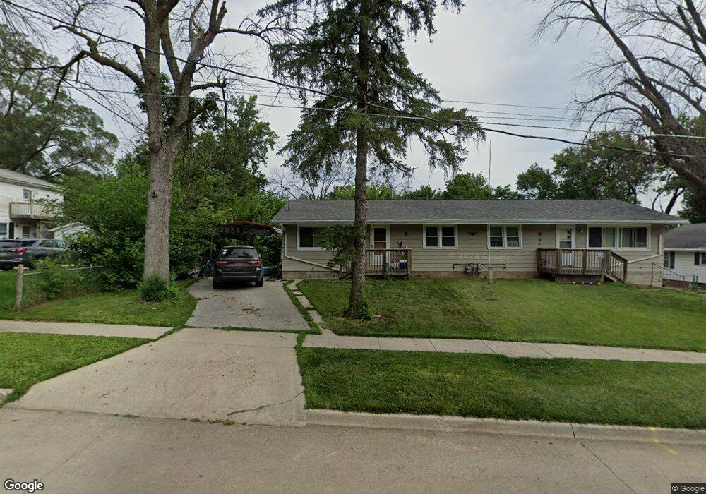
1227 Payton Ave Des Moines, IA 50315
Watrous South NeighborhoodEstimated Value: $276,000 - $295,000
--
Bed
2
Baths
1,929
Sq Ft
$146/Sq Ft
Est. Value
About This Home
This home is located at 1227 Payton Ave, Des Moines, IA 50315 and is currently estimated at $281,476, approximately $145 per square foot. 1227 Payton Ave is a home located in Polk County with nearby schools including Wright Elementary School, Brody Middle School, and Lincoln High School.
Ownership History
Date
Name
Owned For
Owner Type
Purchase Details
Closed on
Sep 1, 2014
Sold by
Mcaninch Brad and Mcaninch Belinda
Bought by
Bmc5 Llc
Current Estimated Value
Purchase Details
Closed on
Dec 4, 2006
Sold by
Burkard Henry B and Andersen Joanne E
Bought by
Mcaninch Bradley and Sly Mcaninch Belinda M
Home Financials for this Owner
Home Financials are based on the most recent Mortgage that was taken out on this home.
Original Mortgage
$136,000
Interest Rate
6.36%
Mortgage Type
Purchase Money Mortgage
Create a Home Valuation Report for This Property
The Home Valuation Report is an in-depth analysis detailing your home's value as well as a comparison with similar homes in the area
Home Values in the Area
Average Home Value in this Area
Purchase History
| Date | Buyer | Sale Price | Title Company |
|---|---|---|---|
| Bmc5 Llc | -- | None Available | |
| Mcaninch Bradley | $150,500 | None Available |
Source: Public Records
Mortgage History
| Date | Status | Borrower | Loan Amount |
|---|---|---|---|
| Previous Owner | Mcaninch Bradley | $136,000 |
Source: Public Records
Tax History Compared to Growth
Tax History
| Year | Tax Paid | Tax Assessment Tax Assessment Total Assessment is a certain percentage of the fair market value that is determined by local assessors to be the total taxable value of land and additions on the property. | Land | Improvement |
|---|---|---|---|---|
| 2025 | $5,242 | $297,600 | $44,700 | $252,900 |
| 2024 | $5,242 | $266,500 | $39,200 | $227,300 |
| 2023 | $4,964 | $266,500 | $39,200 | $227,300 |
| 2022 | $4,932 | $210,600 | $33,500 | $177,100 |
| 2021 | $4,758 | $210,900 | $33,500 | $177,400 |
| 2020 | $4,944 | $190,700 | $30,200 | $160,500 |
| 2019 | $4,488 | $190,700 | $30,200 | $160,500 |
| 2018 | $4,442 | $167,000 | $26,700 | $140,300 |
| 2017 | $4,166 | $167,000 | $26,700 | $140,300 |
| 2016 | $4,058 | $154,000 | $24,300 | $129,700 |
| 2015 | $4,058 | $154,000 | $24,300 | $129,700 |
| 2014 | $3,974 | $149,600 | $23,200 | $126,400 |
Source: Public Records
Map
Nearby Homes
- 6001 SW 13th Place
- 1304 Wall Ave
- 1210 Highview Dr
- 1419 Payton Ave
- 6107 SW 14th St
- 1310 Leland Ave
- 6205 SW 12th St
- 1010 Frederick Ave
- 1500 Leland Ave
- 1616 Southlawn Dr
- 1225 West St
- 1401 Cutler Ave
- 1616 Porter Ave
- 1801 Payton Ave
- 1207 Kenyon Ave
- 1810 Porter Ave
- 1161 Bundy St
- 5120 SW 14th St
- 1313 Burnham Ave
- 5407 SW 9th St
- 1223 Payton Ave
- 1233 Payton Ave
- 1219 Payton Ave
- 1236 Highview Dr
- 1238 Highview Dr
- 5909 SW 13th Place
- 1220 Payton Ave
- 1230 Highview Dr
- 1226 Payton Ave
- 5903 SW 13th Place
- 5903 SW 13th Place
- 1242 Highview Dr
- 1228 Payton Ave
- 1218 Payton Ave
- 1216 Payton Ave
- 1230 Payton Ave
- 1213 Payton Ave
- 1224 Highview Dr
- 5901 SW 13th Place
- 1301 Payton Ave