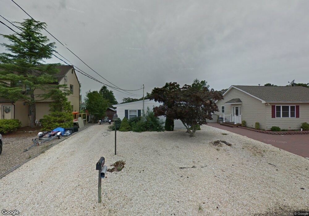
1227 Polaris Ct Forked River, NJ 08731
Lacey Township NeighborhoodEstimated Value: $371,309 - $554,000
2
Beds
1
Bath
930
Sq Ft
$491/Sq Ft
Est. Value
About This Home
This home is located at 1227 Polaris Ct, Forked River, NJ 08731 and is currently estimated at $456,827, approximately $491 per square foot. 1227 Polaris Ct is a home located in Ocean County with nearby schools including Lacey Township High School.
Ownership History
Date
Name
Owned For
Owner Type
Purchase Details
Closed on
Apr 10, 2025
Sold by
Robak John S and Church Jennifer M
Bought by
Church Jennifer M and Robak Christopher J
Current Estimated Value
Purchase Details
Closed on
Aug 19, 2017
Sold by
Robak Jadwiga
Bought by
Robak John
Home Financials for this Owner
Home Financials are based on the most recent Mortgage that was taken out on this home.
Original Mortgage
$175,000
Interest Rate
3.85%
Mortgage Type
New Conventional
Purchase Details
Closed on
Oct 13, 2004
Sold by
Jones Richard F
Bought by
Robak John and Robak Jawiga
Home Financials for this Owner
Home Financials are based on the most recent Mortgage that was taken out on this home.
Original Mortgage
$199,500
Interest Rate
4.12%
Mortgage Type
Purchase Money Mortgage
Create a Home Valuation Report for This Property
The Home Valuation Report is an in-depth analysis detailing your home's value as well as a comparison with similar homes in the area
Home Values in the Area
Average Home Value in this Area
Purchase History
| Date | Buyer | Sale Price | Title Company |
|---|---|---|---|
| Church Jennifer M | -- | None Listed On Document | |
| Church Jennifer M | -- | None Listed On Document | |
| Robak John | -- | Interstate Title | |
| Robak John | $210,000 | -- |
Source: Public Records
Mortgage History
| Date | Status | Borrower | Loan Amount |
|---|---|---|---|
| Previous Owner | Robak John | $175,000 | |
| Previous Owner | Robak John | $199,500 |
Source: Public Records
Tax History Compared to Growth
Tax History
| Year | Tax Paid | Tax Assessment Tax Assessment Total Assessment is a certain percentage of the fair market value that is determined by local assessors to be the total taxable value of land and additions on the property. | Land | Improvement |
|---|---|---|---|---|
| 2025 | $5,435 | $214,500 | $132,500 | $82,000 |
| 2024 | $5,082 | $214,500 | $132,500 | $82,000 |
| 2023 | $4,854 | $214,500 | $132,500 | $82,000 |
| 2022 | $4,594 | $203,000 | $132,500 | $70,500 |
| 2021 | $4,517 | $203,000 | $132,500 | $70,500 |
| 2020 | $4,373 | $203,000 | $132,500 | $70,500 |
| 2019 | $4,295 | $203,000 | $132,500 | $70,500 |
| 2018 | $4,245 | $203,000 | $132,500 | $70,500 |
| 2017 | $4,147 | $203,000 | $132,500 | $70,500 |
| 2016 | $4,131 | $203,000 | $132,500 | $70,500 |
| 2015 | $3,946 | $203,000 | $132,500 | $70,500 |
| 2014 | $4,300 | $301,200 | $232,500 | $68,700 |
Source: Public Records
Map
Nearby Homes
- 1227 Gemini Ct
- 1211 Gemini Ct
- 1204 Penguin Ct
- 1209 Plover Ct
- 1210 Skimmer Ct
- 1012 E Panama Ct
- 1208 Spoonbill Ct
- 1207 Spoonbill Ct
- 1131 Beach Blvd
- 1001 E Panama Ct
- 1007 Inland Rd
- 1229 Orlando Dr
- 1615 Tamiami Rd
- 1304 Kauai Dr
- 908 Sarasota Dr
- 1003 Kohala Dr
- 1407 Hilo Bay Dr
- 1417 Beach Blvd
- 2 Gull Ct
- 1003 Kanoehe Dr
- 1226 Polaris Ct
- 1228 Polaris Ct
- 1229 Polaris Ct
- 1225 Polaris Ct
- 1203 Polaris Ct
- 1202 Polaris Ct
- 1205 Polaris Ct
- 1223 Polaris Ct
- 1201 Polaris Ct
- 1202 Mercury Ct
- 1206 Polaris Ct
- 1201 Mercury Ct
- 1203 Mercury Ct
- 1216 Pensacola Rd
- 1212 Pensacola Rd
- 1220 Pensacola Rd
- 1210 Pensacola Rd
- 1204 Mercury Ct
- 1207 Polaris Ct
- 1222 Polaris Ct