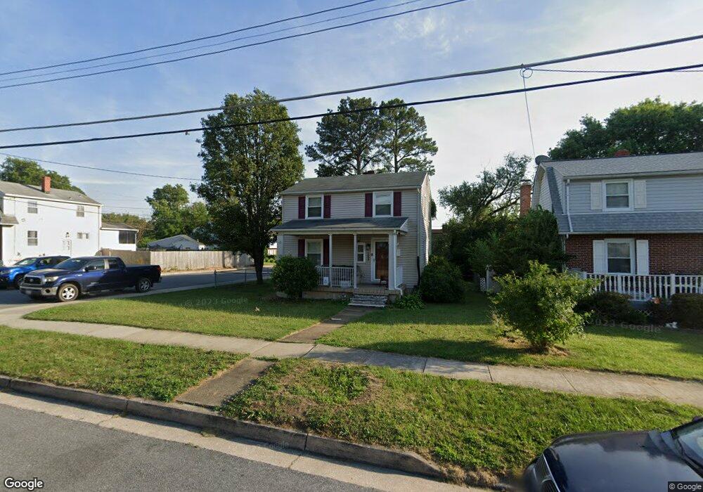
1227 Poplar Ave Halethorpe, MD 21227
Estimated Value: $313,531 - $357,000
3
Beds
2
Baths
990
Sq Ft
$348/Sq Ft
Est. Value
About This Home
This home is located at 1227 Poplar Ave, Halethorpe, MD 21227 and is currently estimated at $344,633, approximately $348 per square foot. 1227 Poplar Ave is a home located in Baltimore County with nearby schools including Arbutus Elementary School, Arbutus Middle School, and Lansdowne High School.
Ownership History
Date
Name
Owned For
Owner Type
Purchase Details
Closed on
Oct 27, 2009
Sold by
Renner Catherine P
Bought by
Lancaster Jennifer
Current Estimated Value
Purchase Details
Closed on
Jan 29, 1993
Sold by
Leidy Randall L
Bought by
Renner Catherine P
Purchase Details
Closed on
Mar 29, 1989
Sold by
Heiser Leroy C
Bought by
Leidy Randall L
Create a Home Valuation Report for This Property
The Home Valuation Report is an in-depth analysis detailing your home's value as well as a comparison with similar homes in the area
Home Values in the Area
Average Home Value in this Area
Purchase History
| Date | Buyer | Sale Price | Title Company |
|---|---|---|---|
| Lancaster Jennifer | $215,000 | -- | |
| Renner Catherine P | $108,000 | -- | |
| Leidy Randall L | $95,000 | -- |
Source: Public Records
Tax History Compared to Growth
Tax History
| Year | Tax Paid | Tax Assessment Tax Assessment Total Assessment is a certain percentage of the fair market value that is determined by local assessors to be the total taxable value of land and additions on the property. | Land | Improvement |
|---|---|---|---|---|
| 2025 | $3,410 | $221,033 | -- | -- |
| 2024 | $3,410 | $208,600 | $80,500 | $128,100 |
| 2023 | $1,572 | $202,433 | $0 | $0 |
| 2022 | $3,025 | $196,267 | $0 | $0 |
| 2021 | $2,936 | $190,100 | $60,500 | $129,600 |
| 2020 | $2,936 | $183,833 | $0 | $0 |
| 2019 | $2,759 | $177,567 | $0 | $0 |
| 2018 | $2,583 | $171,300 | $60,500 | $110,800 |
| 2017 | $2,412 | $167,000 | $0 | $0 |
| 2016 | $2,845 | $162,700 | $0 | $0 |
| 2015 | $2,845 | $158,400 | $0 | $0 |
| 2014 | $2,845 | $158,400 | $0 | $0 |
Source: Public Records
Map
Nearby Homes
- 5502 Osage Ave
- 1209 Locust Ave
- 1242 Vogt Ave
- 1251 Linden Ave
- 1312 Poplar Ave
- 5523 Council St
- 1309 Linden Ave
- 1224 Circle Dr
- 1326 Stevens Ave
- 1328 Maple Ave
- 1328 Stevens Ave
- 5522 Ashbourne Rd
- 1416 Sulphur Spring Rd
- 5530 Willys Ave
- 5536 Gayland Rd
- 1200 Oakland Terrace Rd
- 1029 Regina Dr
- 5207 Arbutus Ave
- 957 Circle Dr
- 1243 Linden Ave
- 1225 Poplar Ave
- 1223 Poplar Ave
- 1224 Locust Ave
- 1222 Locust Ave
- 1233 Poplar Ave
- 1221 Poplar Ave
- 1220 Locust Ave
- 5433 Sycamore Ave
- 1226 Poplar Ave
- 1228 Poplar Ave
- 1224 Poplar Ave
- 1212 Poplar Ave
- 1230 Poplar Ave
- 1222 Poplar Ave
- 5435 Sycamore Ave
- 1209 Poplar Ave
- 1219 Poplar Ave
- 1218 Locust Ave
- 1220 Poplar Ave
- 1237 Poplar Ave