Estimated Value: $464,573 - $553,000
4
Beds
4
Baths
3,800
Sq Ft
$132/Sq Ft
Est. Value
About This Home
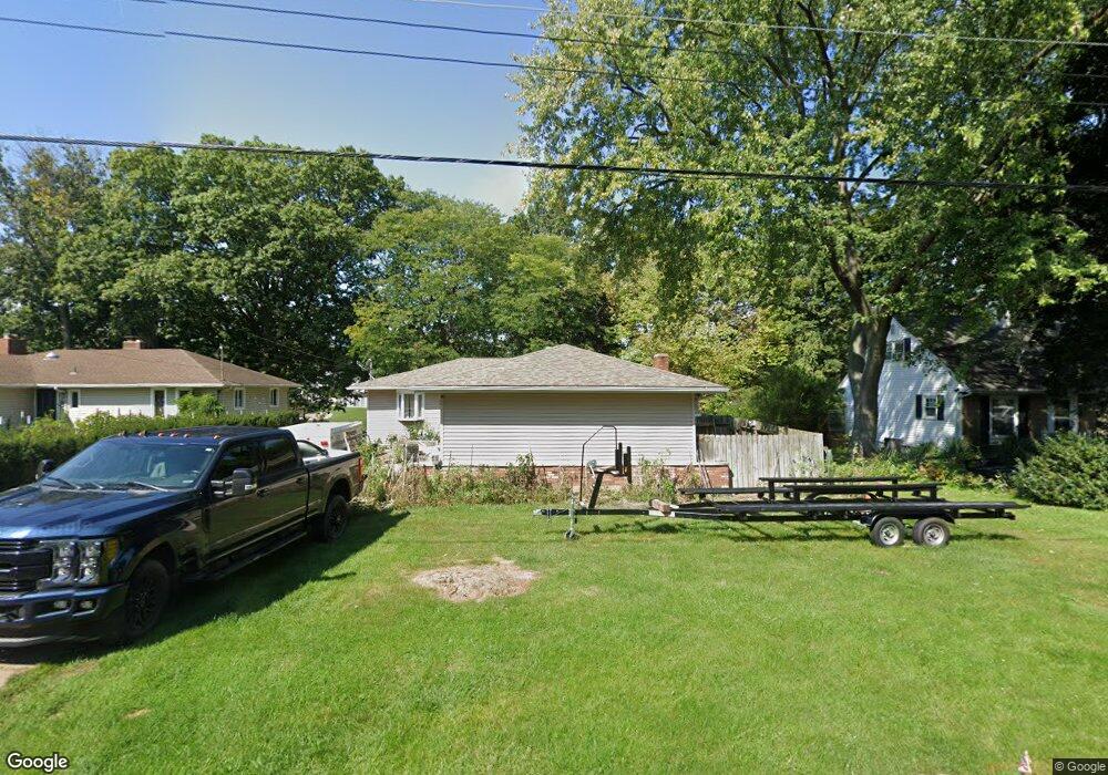
This home is located at 1227 Riverside Dr, Huron, OH 44839 and is currently estimated at $500,643, approximately $131 per square foot. 1227 Riverside Dr is a home located in Erie County with nearby schools including Shawnee Elementary School, Woodlands Intermediate School, and McCormick Junior High School.
Ownership History
Date
Name
Owned For
Owner Type
Purchase Details
Closed on
Sep 18, 2008
Sold by
Perry Joyce J
Bought by
Perry Jeffery P
Current Estimated Value
Home Financials for this Owner
Home Financials are based on the most recent Mortgage that was taken out on this home.
Original Mortgage
$215,662
Outstanding Balance
$142,688
Interest Rate
6.41%
Mortgage Type
FHA
Estimated Equity
$357,955
Purchase Details
Closed on
Mar 16, 2001
Sold by
Chaney E Bruce
Bought by
Pepper Arthur W and Pepper Patricia A
Home Financials for this Owner
Home Financials are based on the most recent Mortgage that was taken out on this home.
Original Mortgage
$165,000
Interest Rate
7.13%
Mortgage Type
New Conventional
Create a Home Valuation Report for This Property
The Home Valuation Report is an in-depth analysis detailing your home's value as well as a comparison with similar homes in the area
Home Values in the Area
Average Home Value in this Area
Purchase History
| Date | Buyer | Sale Price | Title Company |
|---|---|---|---|
| Perry Jeffery P | -- | Hartung Title | |
| Pepper Arthur W | $225,000 | -- |
Source: Public Records
Mortgage History
| Date | Status | Borrower | Loan Amount |
|---|---|---|---|
| Open | Perry Jeffery P | $215,662 | |
| Previous Owner | Pepper Arthur W | $165,000 |
Source: Public Records
Tax History
| Year | Tax Paid | Tax Assessment Tax Assessment Total Assessment is a certain percentage of the fair market value that is determined by local assessors to be the total taxable value of land and additions on the property. | Land | Improvement |
|---|---|---|---|---|
| 2024 | $4,045 | $124,638 | $51,380 | $73,258 |
| 2023 | $4,550 | $91,063 | $44,436 | $46,627 |
| 2022 | $3,419 | $91,063 | $44,436 | $46,627 |
| 2021 | $3,410 | $91,070 | $44,440 | $46,630 |
| 2020 | $3,179 | $83,510 | $44,440 | $39,070 |
| 2019 | $3,322 | $83,510 | $44,440 | $39,070 |
| 2018 | $3,339 | $83,510 | $44,440 | $39,070 |
| 2017 | $3,362 | $81,910 | $42,770 | $39,140 |
| 2016 | $3,246 | $81,910 | $42,770 | $39,140 |
| 2015 | $3,249 | $81,910 | $42,770 | $39,140 |
| 2014 | $3,286 | $81,910 | $42,770 | $39,140 |
| 2013 | $3,728 | $84,380 | $42,770 | $41,610 |
Source: Public Records
Map
Nearby Homes
- 110 Wheeler Dr
- 1140 Sheltered Brook Dr
- 304 Lisa Ann Dr
- 317 Chevy Dr
- 216 Chevy Dr
- 1114 Mudbrook Rd
- 927 Dallas Dr
- 128 N Port Ln
- 937 Main St
- 0 Main St
- 676 Salem Dr
- 418 Adams Ave
- 535 Wilbor Ave
- 419 Miami Place
- 603 Ottawa Dr
- 919 Glenview Dr
- 38 VL Youness
- 618 Cleveland Rd E
- 28 Turtle Bay
- 525 Liberty Dr Unit A
- 1225 Riverside Dr
- 1229 Riverside Dr
- 1231 Riverside Dr
- 1221 Riverside Dr
- 1233 Riverside Dr
- 1228 Riverside Dr
- 1228 Riverside Dr
- 1230 Riverside Dr
- 1226 Riverside Dr
- 1224 Riverside Dr
- 1235 Riverside Dr
- 1216 Laguna Dr
- 1214 Laguna Dr
- 1222 Riverside Dr
- 1232 Riverside Dr
- 1220 Laguna Dr
- 1210 Laguna Dr
- 1220 Riverside Dr
- 1217 Riverside Dr
- 1234 Riverside Dr
Your Personal Tour Guide
Ask me questions while you tour the home.