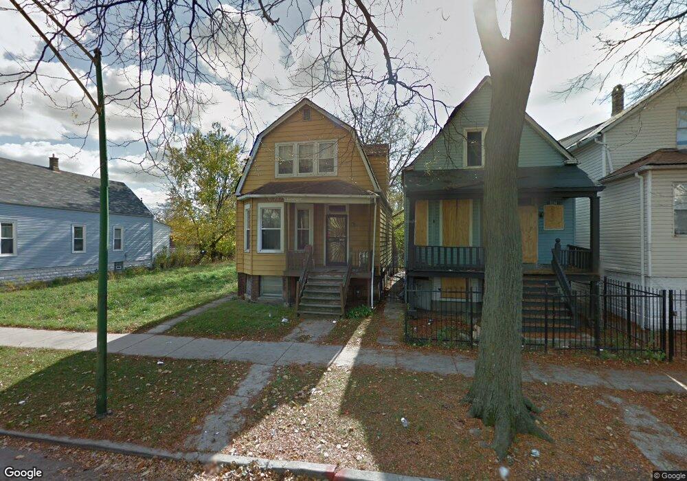
1227 W 71st Place Chicago, IL 60636
Englewood NeighborhoodEstimated Value: $172,000 - $289,000
3
Beds
2
Baths
793
Sq Ft
$288/Sq Ft
Est. Value
About This Home
This home is located at 1227 W 71st Place, Chicago, IL 60636 and is currently estimated at $228,333, approximately $287 per square foot. 1227 W 71st Place is a home located in Cook County with nearby schools including Bond Elementary School, The Montessori School of Englewood Charter School, and St Sabina Academy.
Ownership History
Date
Name
Owned For
Owner Type
Purchase Details
Closed on
May 12, 2025
Sold by
Nevel Ira T
Bought by
United States Secretary Of Housing And Urban
Current Estimated Value
Purchase Details
Closed on
Dec 15, 1998
Sold by
Harris George B and Harris Leatrice P
Bought by
Harris Leatrice P
Home Financials for this Owner
Home Financials are based on the most recent Mortgage that was taken out on this home.
Original Mortgage
$32,200
Interest Rate
6.95%
Create a Home Valuation Report for This Property
The Home Valuation Report is an in-depth analysis detailing your home's value as well as a comparison with similar homes in the area
Home Values in the Area
Average Home Value in this Area
Purchase History
| Date | Buyer | Sale Price | Title Company |
|---|---|---|---|
| United States Secretary Of Housing And Urban | $276,808 | None Listed On Document | |
| Harris Leatrice P | -- | Rei Title Services |
Source: Public Records
Mortgage History
| Date | Status | Borrower | Loan Amount |
|---|---|---|---|
| Previous Owner | Harris Leatrice P | $32,200 |
Source: Public Records
Tax History Compared to Growth
Tax History
| Year | Tax Paid | Tax Assessment Tax Assessment Total Assessment is a certain percentage of the fair market value that is determined by local assessors to be the total taxable value of land and additions on the property. | Land | Improvement |
|---|---|---|---|---|
| 2024 | -- | $5,201 | $938 | $4,263 |
| 2023 | -- | $3,351 | $2,031 | $1,320 |
| 2022 | $0 | $3,351 | $2,031 | $1,320 |
| 2021 | $1,805 | $3,351 | $2,031 | $1,320 |
| 2020 | $1,805 | $5,683 | $2,343 | $3,340 |
| 2019 | $0 | $6,315 | $2,343 | $3,972 |
| 2018 | $0 | $6,315 | $2,343 | $3,972 |
| 2017 | $1,805 | $8,384 | $2,031 | $6,353 |
| 2016 | $1,679 | $8,384 | $2,031 | $6,353 |
| 2015 | $1,536 | $8,384 | $2,031 | $6,353 |
| 2014 | $1,386 | $7,471 | $1,875 | $5,596 |
| 2013 | $1,359 | $7,471 | $1,875 | $5,596 |
Source: Public Records
Map
Nearby Homes
- 7041 S Throop St
- 7042 S Racine Ave
- 7050 S Throop St
- 7022 S Elizabeth St
- 7144 S May St
- 7019 S Throop St
- 1241 W 72nd Place
- 7126 S Aberdeen St
- 6953 S Elizabeth St
- 7238 S May St
- 6944 S Racine Ave
- 7151 S Aberdeen St
- 7300 S Racine Ave
- 6946 S May St
- 6943 S Ada St
- 7232 S Aberdeen St
- 7128 S Carpenter St
- 6939 S Ada St
- 6953 S Loomis Blvd
- 1240 W 73rd Place
- 1231 W 71st Place
- 1233 W 71st Place
- 1221 W 71st Place
- 1235 W 71st Place
- 1219 W 71st Place
- 1239 W 71st Place
- 1241 W 71st Place
- 1215 W 71st Place
- 1226 W 72nd St
- 1243 W 71st Place
- 1220 W 72nd St
- 1230 W 72nd St
- 1232 W 72nd St
- 1245 W 71st Place
- 1238 W 72nd St
- 1214 W 72nd St
- 1218 W 71st Place Unit 1710
- 1226 W 71st Place
- 1230 W 71st Place
- 1224 W 71st Place