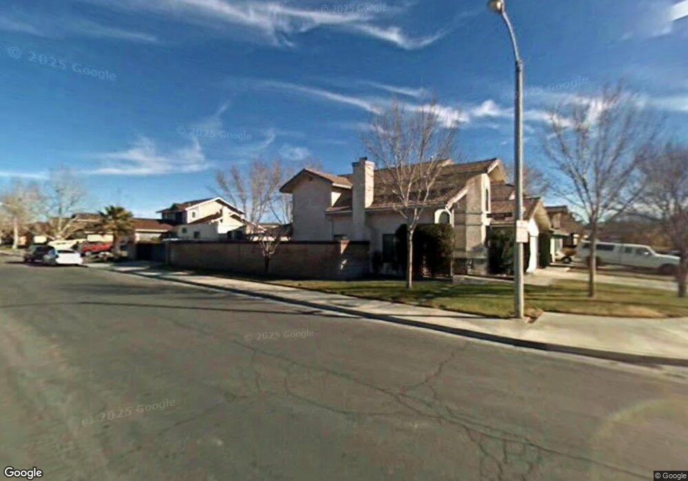
1227 W Avenue h4 Lancaster, CA 93534
Central Lancaster NeighborhoodEstimated Value: $454,244 - $482,000
4
Beds
3
Baths
1,697
Sq Ft
$278/Sq Ft
Est. Value
About This Home
This home is located at 1227 W Avenue h4, Lancaster, CA 93534 and is currently estimated at $472,311, approximately $278 per square foot. 1227 W Avenue h4 is a home located in Los Angeles County with nearby schools including Desert View Elementary School, Piute Middle School, and Antelope Valley High School.
Ownership History
Date
Name
Owned For
Owner Type
Purchase Details
Closed on
Jun 7, 2023
Sold by
Smith Michael J and Smith Debra J
Bought by
Michael & Debra Smith Family Trust and Smith
Current Estimated Value
Create a Home Valuation Report for This Property
The Home Valuation Report is an in-depth analysis detailing your home's value as well as a comparison with similar homes in the area
Home Values in the Area
Average Home Value in this Area
Purchase History
| Date | Buyer | Sale Price | Title Company |
|---|---|---|---|
| Michael & Debra Smith Family Trust | -- | None Listed On Document |
Source: Public Records
Tax History Compared to Growth
Tax History
| Year | Tax Paid | Tax Assessment Tax Assessment Total Assessment is a certain percentage of the fair market value that is determined by local assessors to be the total taxable value of land and additions on the property. | Land | Improvement |
|---|---|---|---|---|
| 2025 | $4,351 | $246,496 | $55,173 | $191,323 |
| 2024 | $4,351 | $241,664 | $54,092 | $187,572 |
| 2023 | $4,262 | $236,927 | $53,032 | $183,895 |
| 2022 | $4,054 | $232,283 | $51,993 | $180,290 |
| 2021 | $3,654 | $227,729 | $50,974 | $176,755 |
| 2019 | $3,552 | $220,976 | $49,463 | $171,513 |
| 2018 | $3,489 | $216,644 | $48,494 | $168,150 |
| 2016 | $3,153 | $195,100 | $49,600 | $145,500 |
| 2015 | $2,983 | $181,000 | $46,000 | $135,000 |
| 2014 | $3,006 | $181,000 | $46,000 | $135,000 |
Source: Public Records
Map
Nearby Homes
- 1221 W Avenue h4
- 0 Vac Vic Avenue G6 65th W Unit SR21034311
- 1126 W Avenue h6
- 45911 Kingtree Ave
- 1035 W Avenue h3
- 1258 W Avenue h6
- 1029 W Avenue h5
- 1046 W Avenue H-6
- 1239 Regents St
- 1217 W Avenue h7
- 1023 W Avenue h2
- 719 W Avenue H
- 1720 W Avenue H 7
- 1328 W Avenue H-6
- 1209 W Avenue h8
- 45704 Barham Ave
- 32 W Avenue H 8
- 32 St W Avenue H 8
- 619 W Avenue H
- 45629 Barham Ave
- 1221 W Ave H 4
- 1217 W Avenue h4
- 45830 Suffolk Dr
- 0 Vac Cor Avenue E1 Pl 10 Stw Unit SW18222947
- 0 Vac Vic 20th Ste Ave H Unit IG18191610
- 8 Vac Ave A8 Vic 17 Stw
- 0 Vac Ave L Pav Vic 26th Stw Unit BB18068907
- 38941 Vac 10th Ste Vic Avenue P12
- 10 W Vac Cor Avenue E5 10 Stw
- 0 Vac Cor Avenue E1 P2 11 Plw Unit OC17267235
- 0 No Address Unit A08009577
- 0 J-15 Unit CC67379
- 0 W Vac Avea4 Vic45stw Unit P652501
- 0 Lancaster Unit A09024172
- 0 W Ave A4 W 50 Ave Unit P691133
- 111 Ave H-4 & 5th St E
- 0 W Ave 4a 50 Stw Unit P706024
- 25 St West and Avenue D
- 0 W 122 Unit S612846
- 16 A12