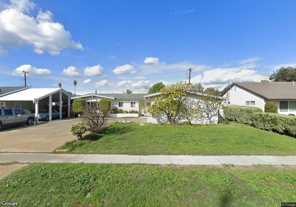
1227 W Maxzim Ave Fullerton, CA 92833
Estimated Value: $929,100 - $967,000
3
Beds
2
Baths
1,515
Sq Ft
$625/Sq Ft
Est. Value
About This Home
This home is located at 1227 W Maxzim Ave, Fullerton, CA 92833 and is currently estimated at $946,775, approximately $624 per square foot. 1227 W Maxzim Ave is a home located in Orange County with nearby schools including Orangethorpe Elementary School, Nicolas Junior High School, and Fullerton Union High School.
Ownership History
Date
Name
Owned For
Owner Type
Purchase Details
Closed on
Jun 14, 2013
Sold by
Vanmichelle Thu
Bought by
Vanmichelle and Michelle Van Revocable Living Trust
Current Estimated Value
Purchase Details
Closed on
Jan 30, 2006
Sold by
Truong David
Bought by
Vanmichelle Thu
Purchase Details
Closed on
Mar 9, 1994
Sold by
Vanthuy Ngoc
Bought by
Truong David and Van Michelle Thu
Create a Home Valuation Report for This Property
The Home Valuation Report is an in-depth analysis detailing your home's value as well as a comparison with similar homes in the area
Home Values in the Area
Average Home Value in this Area
Purchase History
| Date | Buyer | Sale Price | Title Company |
|---|---|---|---|
| Vanmichelle | -- | None Available | |
| Vanmichelle Thu | -- | None Available | |
| Truong David | -- | Title Land Company |
Source: Public Records
Tax History Compared to Growth
Tax History
| Year | Tax Paid | Tax Assessment Tax Assessment Total Assessment is a certain percentage of the fair market value that is determined by local assessors to be the total taxable value of land and additions on the property. | Land | Improvement |
|---|---|---|---|---|
| 2025 | $3,623 | $316,098 | $210,754 | $105,344 |
| 2024 | $3,623 | $309,900 | $206,621 | $103,279 |
| 2023 | $3,533 | $303,824 | $202,570 | $101,254 |
| 2022 | $3,504 | $297,867 | $198,598 | $99,269 |
| 2021 | $3,443 | $292,027 | $194,704 | $97,323 |
| 2020 | $3,422 | $289,033 | $192,707 | $96,326 |
| 2019 | $3,336 | $283,366 | $188,928 | $94,438 |
| 2018 | $3,285 | $277,810 | $185,223 | $92,587 |
| 2017 | $3,230 | $272,363 | $181,591 | $90,772 |
| 2016 | $3,163 | $267,023 | $178,030 | $88,993 |
| 2015 | $3,076 | $263,013 | $175,356 | $87,657 |
| 2014 | $2,987 | $257,861 | $171,921 | $85,940 |
Source: Public Records
Map
Nearby Homes
- 1519 S Lovering Ave
- 1507 S Lovering Ave
- 1512 S Lovering Ave
- 1425 W Woodcrest Ave
- 1302 N Mako Ln Unit 2
- 1919 W Coronet Ave Unit 79
- 1919 W Coronet Ave
- 1919 W Coronet Ave Unit 126
- 1919 W Coronet Ave Unit 221
- 1919 W Coronet Ave Unit 122
- 1919 W Coronet Ave Unit 75
- 1919 W Coronet Ave Unit 132
- 1919 W Coronet Ave Unit 164
- 1919 W Coronet Ave Unit 208
- 1919 W Coronet Ave Unit 143
- 1919 W Coronet Ave Unit 203
- 1206 W Porter Ave
- 1311 Clementine Way
- 1148 W Porter Ave
- 1506 S Euclid St
- 1231 W Maxzim Ave
- 1223 W Maxzim Ave
- 1226 W Roberta Ave
- 1230 W Roberta Ave
- 1222 W Roberta Ave
- 1237 W Maxzim Ave
- 1226 W Maxzim Ave
- 1236 W Roberta Ave
- 1230 W Maxzim Ave
- 1222 W Maxzim Ave
- 1301 W Maxzim Ave
- 1236 W Maxzim Ave
- 1512 S Orchard Ave
- 1518 S Orchard Ave
- 1300 W Roberta Ave
- 1506 S Orchard Ave
- 1524 S Orchard Ave
- 1300 W Maxzim Ave
- 1227 W Roberta Ave
- 1227 W Houston Ave