12273 N Lang Rd Florence, AZ 85132
Estimated Value: $344,845 - $399,000
3
Beds
2
Baths
1,647
Sq Ft
$227/Sq Ft
Est. Value
About This Home
This home is located at 12273 N Lang Rd, Florence, AZ 85132 and is currently estimated at $374,211, approximately $227 per square foot. 12273 N Lang Rd is a home located in Pinal County with nearby schools including Florence K-8 and Florence High School.
Ownership History
Date
Name
Owned For
Owner Type
Purchase Details
Closed on
Apr 4, 2008
Sold by
Laflesch Stan
Bought by
Lankford Weeden N and Soares Lillian
Current Estimated Value
Home Financials for this Owner
Home Financials are based on the most recent Mortgage that was taken out on this home.
Original Mortgage
$170,000
Interest Rate
6.22%
Mortgage Type
Seller Take Back
Purchase Details
Closed on
Aug 8, 2006
Sold by
J Mont Homes Llc
Bought by
Laflesch Stan
Create a Home Valuation Report for This Property
The Home Valuation Report is an in-depth analysis detailing your home's value as well as a comparison with similar homes in the area
Home Values in the Area
Average Home Value in this Area
Purchase History
| Date | Buyer | Sale Price | Title Company |
|---|---|---|---|
| Lankford Weeden N | $200,000 | Security Title Agency Inc | |
| Laflesch Stan | $184,900 | Capital Title Agency Inc |
Source: Public Records
Mortgage History
| Date | Status | Borrower | Loan Amount |
|---|---|---|---|
| Previous Owner | Lankford Weeden N | $170,000 | |
| Previous Owner | Lankford Weeden N | $170,000 |
Source: Public Records
Tax History Compared to Growth
Tax History
| Year | Tax Paid | Tax Assessment Tax Assessment Total Assessment is a certain percentage of the fair market value that is determined by local assessors to be the total taxable value of land and additions on the property. | Land | Improvement |
|---|---|---|---|---|
| 2025 | $1,047 | $21,419 | -- | -- |
| 2024 | $1,032 | $28,283 | -- | -- |
| 2023 | $1,050 | $20,641 | $2,376 | $18,265 |
| 2022 | $1,032 | $15,510 | $1,728 | $13,782 |
| 2021 | $1,148 | $14,083 | $0 | $0 |
| 2020 | $1,033 | $13,534 | $0 | $0 |
| 2019 | $1,034 | $12,385 | $0 | $0 |
| 2018 | $990 | $10,810 | $0 | $0 |
| 2017 | $930 | $10,418 | $0 | $0 |
| 2016 | $944 | $10,244 | $681 | $9,563 |
| 2014 | $928 | $7,832 | $544 | $7,288 |
Source: Public Records
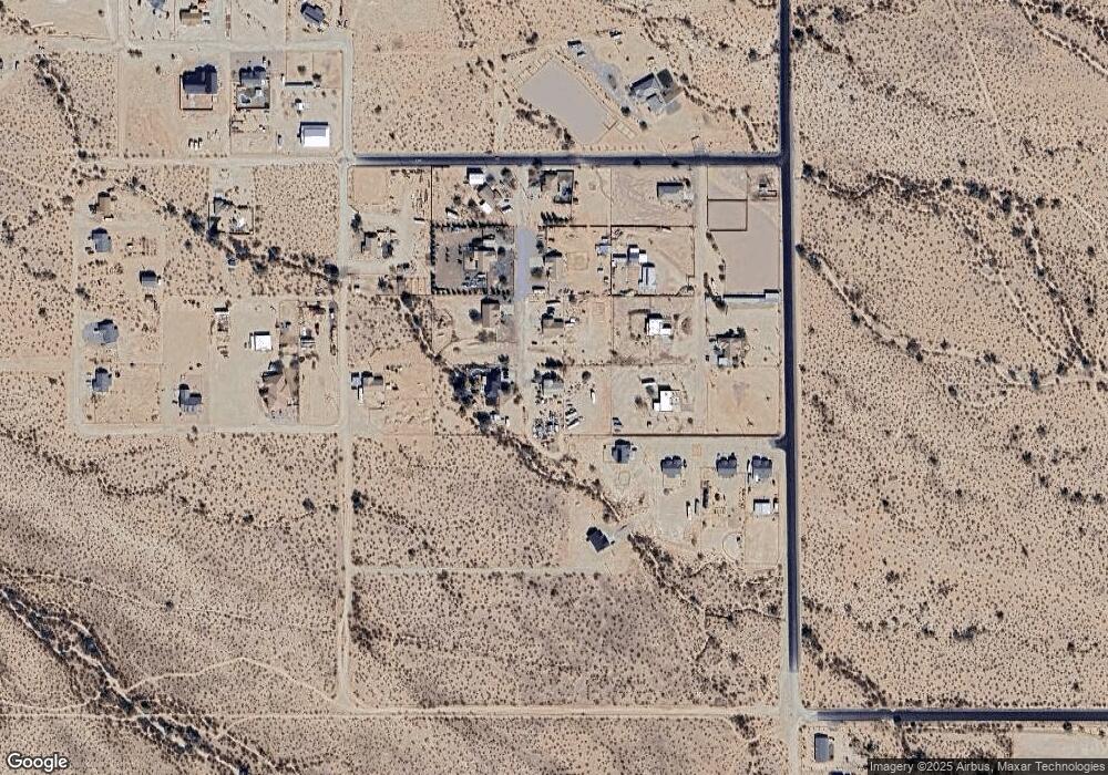
Map
Nearby Homes
- 20750 E Chase Ct
- 0 N Dusty Larke Trail Unit F 6862454
- 20540 E Leavitt Ln
- 0 E Soledad Ln Unit '-' 6864789
- 0 E Autumn Ln Unit 3 6880967
- 13245 N Betty Angel Way
- 0 S Tbd Locust Dr Unit E
- 21696 E Florence-Kelvin Hwy
- 20968 E Florence-Kelvin Hwy
- 0 N Shadyside St Unit 19 23019130
- 0 E Towhee Ln Unit 1 6643385
- 0 N Shadyside St 3 8 Acres
- 22750 E Roper Ln
- 0 E Roper Ln Unit _ 6748492
- 0 N Diffin Rd Unit V 6841208
- 0 E Corbett Rd Unit 6830117
- 10849 N Diffin Rd Unit D
- 10941 N Diffin Rd Unit C
- 0 E Cactus Flower Dr Unit 3 6868980
- 0 E Cactus Flower Dr Unit 4 6868955
- 12278 N Lang Rd
- 12337 N Lang Rd
- 12264 N Curtis Ln
- 12328 N Curtis Ln
- 21209 E Blue Jay Ln
- 12379 N Lang Rd
- 12370 N Curtis Ln
- 12378 N Lang Rd
- 21267 E Blue Jay Ln
- 00XX N Quail Run (Approx) Rd
- 00XX N Quail Run (Approx) Rd
- 00XX N Quail Run (Approx) Rd
- 12263 N Domenion Rd
- 12329 N Curtis Ln
- 12311 N Domenion Rd Unit 31
- 12263 N Curtis Ln
- 12457 N Lang Rd
- 12454 N Lang Rd
- 0 E Dirt Rd Unit 2945981
- 0 E Dirt Rd