12273 N Lang Rd Florence, AZ 85132
Estimated Value: $366,000 - $398,000
Studio
--
Bath
1,634
Sq Ft
$236/Sq Ft
Est. Value
About This Home
This home is located at 12273 N Lang Rd, Florence, AZ 85132 and is currently estimated at $385,667, approximately $236 per square foot. 12273 N Lang Rd is a home located in Pinal County with nearby schools including Florence K-8 and Florence High School.
Ownership History
Date
Name
Owned For
Owner Type
Purchase Details
Closed on
Apr 4, 2008
Sold by
Laflesch Stan
Bought by
Lankford Weeden N and Soares Lillian
Current Estimated Value
Home Financials for this Owner
Home Financials are based on the most recent Mortgage that was taken out on this home.
Original Mortgage
$170,000
Interest Rate
6.22%
Mortgage Type
Seller Take Back
Purchase Details
Closed on
Aug 8, 2006
Sold by
J Mont Homes Llc
Bought by
Laflesch Stan
Create a Home Valuation Report for This Property
The Home Valuation Report is an in-depth analysis detailing your home's value as well as a comparison with similar homes in the area
Purchase History
| Date | Buyer | Sale Price | Title Company |
|---|---|---|---|
| Lankford Weeden N | $200,000 | Security Title Agency Inc | |
| Laflesch Stan | $184,900 | Capital Title Agency Inc |
Source: Public Records
Mortgage History
| Date | Status | Borrower | Loan Amount |
|---|---|---|---|
| Previous Owner | Lankford Weeden N | $170,000 |
Source: Public Records
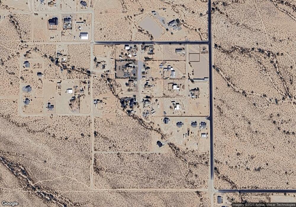
Map
Nearby Homes
- 206 E Orville Dr
- TBD E Pj Ln
- 0 E Soledad Ln Unit '-' 6864789
- 0 E Autumn Ln Unit 3 6880967
- 13301 N Betty Angel Way
- 10962 Locust Dr
- 0 N Shadyside St 1 6 Acres -- Unit 14
- 0 N Shadyside St 1 6 Acres St
- 0 Hwy 79 1 6 Acres -- Unit 6966235
- 0 Hwy 79 1 6 Acres Unit 22604120
- 0 E Towhee Ln Unit 1 6643385
- 22750 E Roper Ln
- 0 N Dogwood Rd Unit 55
- 8259 W Clemente Way
- 19838 E Bear Ln
- 10941 N Diffin Rd Unit C
- 10849 N Diffin Rd Unit D
- 10567 N Dogwood Rd
- 19496 E Erik Ct
- 23662 E Flint Ln Unit G
- 12273 N Lang Rd
- 12278 N Lang Rd
- 12337 N Lang Rd
- 12264 N Curtis Ln
- 12328 N Curtis Ln
- 21209 E Blue Jay Ln
- 12379 N Lang Rd
- 12370 N Curtis Ln
- 12378 N Lang Rd
- 12148 N Desert Broom Ln
- 21267 E Blue Jay Ln
- 00XX N Quail Run (Approx) Rd
- 00XX N Quail Run (Approx) Rd
- 12263 N Domenion Rd
- 12329 N Curtis Ln
- 12311 N Domenion Rd Unit 31
- 12263 N Curtis Ln
- 12457 N Lang Rd
- 12454 N Lang Rd
- 0 E Dirt Rd Unit 2945981
Your Personal Tour Guide
Ask me questions while you tour the home.