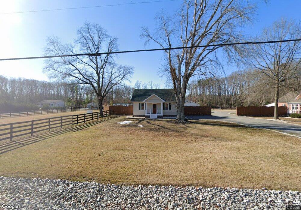
12279 W Patrick Henry Rd Ashland, VA 23005
Estimated Value: $351,000 - $397,000
3
Beds
2
Baths
1,376
Sq Ft
$272/Sq Ft
Est. Value
About This Home
This home is located at 12279 W Patrick Henry Rd, Ashland, VA 23005 and is currently estimated at $373,928, approximately $271 per square foot. 12279 W Patrick Henry Rd is a home located in Hanover County with nearby schools including Henry Clay Elementary School, Liberty Middle School, and Patrick Henry High School.
Ownership History
Date
Name
Owned For
Owner Type
Purchase Details
Closed on
Jun 21, 2004
Sold by
Hopkins C Reid
Bought by
Sanders James
Current Estimated Value
Home Financials for this Owner
Home Financials are based on the most recent Mortgage that was taken out on this home.
Original Mortgage
$134,400
Outstanding Balance
$67,018
Interest Rate
6.3%
Mortgage Type
New Conventional
Estimated Equity
$306,910
Create a Home Valuation Report for This Property
The Home Valuation Report is an in-depth analysis detailing your home's value as well as a comparison with similar homes in the area
Home Values in the Area
Average Home Value in this Area
Purchase History
| Date | Buyer | Sale Price | Title Company |
|---|---|---|---|
| Sanders James | $168,000 | -- |
Source: Public Records
Mortgage History
| Date | Status | Borrower | Loan Amount |
|---|---|---|---|
| Open | Sanders James | $134,400 |
Source: Public Records
Tax History Compared to Growth
Tax History
| Year | Tax Paid | Tax Assessment Tax Assessment Total Assessment is a certain percentage of the fair market value that is determined by local assessors to be the total taxable value of land and additions on the property. | Land | Improvement |
|---|---|---|---|---|
| 2025 | $2,607 | $321,800 | $108,400 | $213,400 |
| 2024 | $2,501 | $308,800 | $101,700 | $207,100 |
| 2023 | $2,189 | $284,300 | $85,500 | $198,800 |
| 2022 | $2,004 | $247,400 | $69,900 | $177,500 |
| 2021 | $1,999 | $246,800 | $69,900 | $176,900 |
| 2020 | $1,686 | $208,200 | $64,900 | $143,300 |
| 2019 | $1,686 | $208,200 | $64,900 | $143,300 |
| 2018 | $1,686 | $208,200 | $64,900 | $143,300 |
| 2017 | $1,623 | $200,400 | $64,800 | $135,600 |
| 2016 | $1,623 | $200,400 | $64,800 | $135,600 |
| 2015 | $1,623 | $200,400 | $64,800 | $135,600 |
| 2014 | $1,623 | $200,400 | $64,800 | $135,600 |
Source: Public Records
Map
Nearby Homes
- 000 Yankeetown Rd
- 14150 Bear Slash Trail
- 11115 Stillcroft Ln
- 11121 Stillcroft Ln
- 12601 W Patrick Henry Rd
- 14166 Independence Rd
- 14106 Falcon Crest Ct
- 13136 Blanton Rd
- 109 Axton Ln
- 13409 Winston Estates Ln
- 229 Lauradell Rd
- 14383 Country Club Dr
- 119 Thorncliff Rd
- 115 Thorncliff Rd
- 226 Lauradell Rd
- 720 Chapman St
- 14481 Augusta Ln
- 118 Lauradell Rd
- 509 Chapman St
- 707 Wales Way
- 12283 W Patrick Henry Rd
- 12295 W Patrick Henry Rd
- 12267 W Patrick Henry Rd
- 12305 W Patrick Henry Rd
- 12249 W Patrick Henry Rd
- 12316 W Patrick Henry Rd
- 12233 W Patrick Henry Rd
- 13491 Blanton Rd
- 13509 Blanton Rd
- 12329 W Patrick Henry Rd
- 13485 Blanton Rd
- 13450 Oakwood Ln
- 13475 Blanton Rd
- 12343 W Patrick Henry Rd
- 13467 Blanton Rd
- 13481 Blanton Rd
- 13431 Oakwood Ln
- 12201 W Patrick Henry Rd
- 14041 Yankeetown Rd
- 14046 Yankeetown Rd