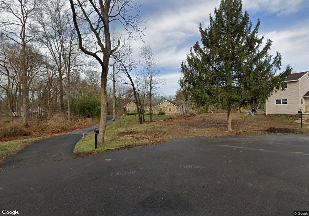
1228 Benn Ln Warminster, PA 18974
Estimated Value: $596,000 - $981,841
3
Beds
3
Baths
4,576
Sq Ft
$173/Sq Ft
Est. Value
About This Home
This home is located at 1228 Benn Ln, Warminster, PA 18974 and is currently estimated at $791,960, approximately $173 per square foot. 1228 Benn Ln is a home with nearby schools including McDonald Elementary School, Log College Middle School, and William Tennent High School.
Ownership History
Date
Name
Owned For
Owner Type
Purchase Details
Closed on
Nov 25, 2008
Sold by
Magliari Angela R
Bought by
Good Andrew and Good Brenda
Current Estimated Value
Purchase Details
Closed on
Sep 23, 1996
Sold by
Bogaski Robert and Bogaski Alyce
Bought by
Matewicz Andrew and Matewicz Eva
Home Financials for this Owner
Home Financials are based on the most recent Mortgage that was taken out on this home.
Original Mortgage
$129,141
Interest Rate
8.26%
Mortgage Type
FHA
Purchase Details
Closed on
Dec 15, 1988
Bought by
Magliari Vittorio and Magliari Angela R
Create a Home Valuation Report for This Property
The Home Valuation Report is an in-depth analysis detailing your home's value as well as a comparison with similar homes in the area
Home Values in the Area
Average Home Value in this Area
Purchase History
| Date | Buyer | Sale Price | Title Company |
|---|---|---|---|
| Good Andrew | $190,000 | None Available | |
| Matewicz Andrew | $130,000 | -- | |
| Magliari Vittorio | $100,000 | -- |
Source: Public Records
Mortgage History
| Date | Status | Borrower | Loan Amount |
|---|---|---|---|
| Previous Owner | Matewicz Andrew | $129,141 |
Source: Public Records
Tax History
| Year | Tax Paid | Tax Assessment Tax Assessment Total Assessment is a certain percentage of the fair market value that is determined by local assessors to be the total taxable value of land and additions on the property. | Land | Improvement |
|---|---|---|---|---|
| 2025 | $9,240 | $43,780 | $9,280 | $34,500 |
| 2024 | $9,240 | $43,780 | $9,280 | $34,500 |
| 2023 | $8,956 | $43,780 | $9,280 | $34,500 |
| 2022 | $8,765 | $43,780 | $9,280 | $34,500 |
| 2021 | $8,560 | $43,780 | $9,280 | $34,500 |
| 2020 | $8,440 | $43,780 | $9,280 | $34,500 |
| 2019 | $7,992 | $43,780 | $9,280 | $34,500 |
| 2018 | $7,801 | $43,780 | $9,280 | $34,500 |
| 2017 | $7,572 | $43,780 | $9,280 | $34,500 |
| 2016 | $7,572 | $43,780 | $9,280 | $34,500 |
| 2015 | $7,465 | $43,780 | $9,280 | $34,500 |
| 2014 | $7,465 | $43,780 | $9,280 | $34,500 |
Source: Public Records
Map
Nearby Homes
- 11 Lincoln Ave
- 55 Parry Way
- 111 Grandview Dr
- 11 Spring Dr
- 9 Spring Dr
- 812 Lillian Ln
- 70 Wheatsheaf Rd
- 290 Hatboro Rd
- 854 Phillips Rd
- 130 E Street Rd
- 1019 Dick Ave
- 9108 Centennial Station Unit 910
- 9000 Centennial Station Unit 9000
- 8203 Centennial Station Unit 8203
- 4108 Centennial Station Unit 410
- 8109 Centennial Station Unit 8109
- 7206 Centennial Station Unit 7206
- 3 Shady Pines Dr
- 840 Davisville Rd
- 6207 Centennial Station
Your Personal Tour Guide
Ask me questions while you tour the home.