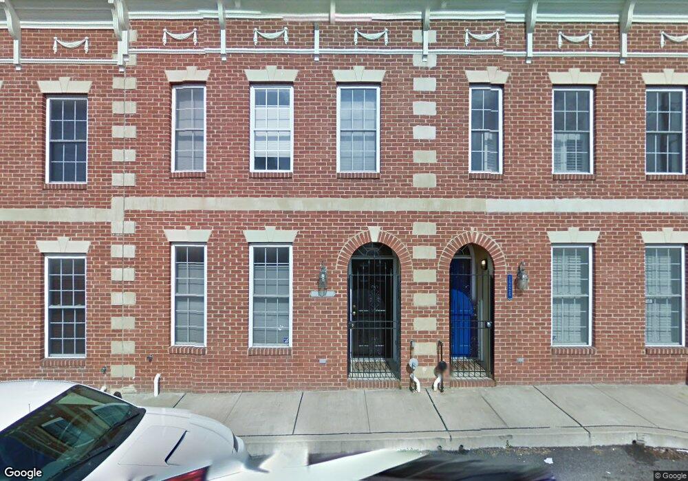
1228 Cooksie St Baltimore, MD 21230
Locust Point NeighborhoodEstimated Value: $518,423 - $596,000
3
Beds
3
Baths
2,268
Sq Ft
$246/Sq Ft
Est. Value
About This Home
This home is located at 1228 Cooksie St, Baltimore, MD 21230 and is currently estimated at $557,212, approximately $245 per square foot. 1228 Cooksie St is a home located in Baltimore City with nearby schools including Francis Scott Key Elementary/Middle School, Booker T. Washington Middle School, and Digital Harbor High School.
Ownership History
Date
Name
Owned For
Owner Type
Purchase Details
Closed on
Jun 4, 2009
Sold by
Sherman David B
Bought by
Mosier Kevin
Current Estimated Value
Purchase Details
Closed on
Oct 12, 2004
Sold by
Shepard Amy
Bought by
Sherman David B
Purchase Details
Closed on
Jun 25, 2004
Sold by
Temm Development Four Llc
Bought by
Shepard Amy
Create a Home Valuation Report for This Property
The Home Valuation Report is an in-depth analysis detailing your home's value as well as a comparison with similar homes in the area
Home Values in the Area
Average Home Value in this Area
Purchase History
| Date | Buyer | Sale Price | Title Company |
|---|---|---|---|
| Mosier Kevin | $338,000 | -- | |
| Sherman David B | $410,000 | -- | |
| Shepard Amy | $335,000 | -- |
Source: Public Records
Tax History
| Year | Tax Paid | Tax Assessment Tax Assessment Total Assessment is a certain percentage of the fair market value that is determined by local assessors to be the total taxable value of land and additions on the property. | Land | Improvement |
|---|---|---|---|---|
| 2025 | $8,097 | $387,933 | -- | -- |
| 2024 | $8,097 | $379,567 | -- | -- |
| 2023 | $7,942 | $371,200 | $80,000 | $291,200 |
| 2022 | $7,954 | $371,200 | $80,000 | $291,200 |
| 2021 | $8,760 | $371,200 | $80,000 | $291,200 |
| 2020 | $8,102 | $379,200 | $80,000 | $299,200 |
| 2019 | $8,061 | $379,200 | $80,000 | $299,200 |
| 2018 | $8,201 | $379,200 | $80,000 | $299,200 |
| 2017 | $8,160 | $383,700 | $0 | $0 |
| 2016 | $8,164 | $366,433 | $0 | $0 |
| 2015 | $8,164 | $349,167 | $0 | $0 |
| 2014 | $8,164 | $331,900 | $0 | $0 |
Source: Public Records
Map
Nearby Homes
- 1312 Haubert St
- 1314 Haubert St
- 1324 Haubert St
- 1212 Towson St
- 1600 Beason St
- 1358 Towson St
- 1425 E Clement St
- 1327 Richardson St
- 1337 Richardson St
- 1432 Haubert St
- 1436 Andre St
- 1419 Andre St
- 1200 Steuart St Unit 713
- 1200 Steuart St Unit 425
- 1200 Steuart St Unit 1711
- 1200 Steuart St Unit 312
- 1200 Steuart St Unit 1913
- 1200 Steuart St
- 1446 Andre St
- 1602 Rampart Mews
- 1250 Cooksie St
- 1226 Cooksie St
- 1230 Cooksie St
- 1224 Cooksie St
- 1234 Cooksie St
- 1236 Cooksie St
- 1229 Hull St
- 1233 Hull St
- 1235 Hull St
- 1231 Hull St
- 1237 Hull St
- 1235 Cooksie St
- 1238 Cooksie St
- 1239 Hull St
- 1231 Cooksie St
- 1239 Cooksie St
- 1237 Cooksie St
- 1222 .5 Cooksie St
- 1233 Cooksie St
- 1245 Hull St
Your Personal Tour Guide
Ask me questions while you tour the home.