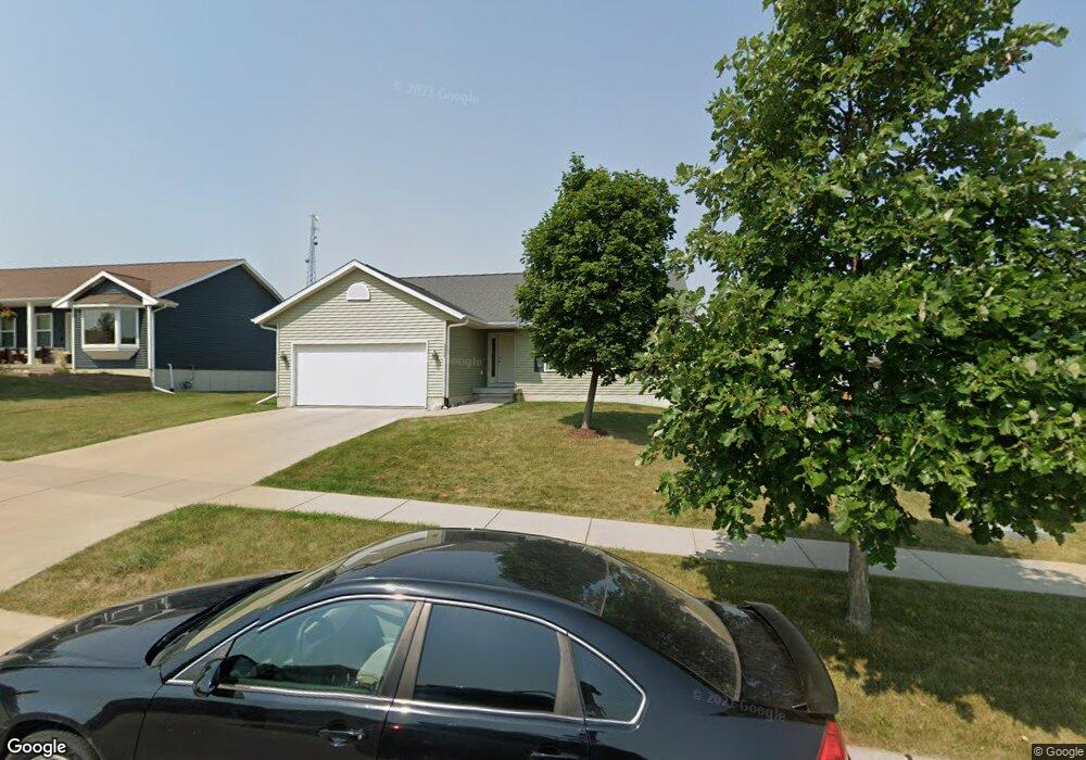
1228 Koudsi Blvd NW Cedar Rapids, IA 52405
Estimated Value: $272,000 - $291,000
3
Beds
2
Baths
1,300
Sq Ft
$217/Sq Ft
Est. Value
About This Home
This home is located at 1228 Koudsi Blvd NW, Cedar Rapids, IA 52405 and is currently estimated at $282,323, approximately $217 per square foot. 1228 Koudsi Blvd NW is a home located in Linn County with nearby schools including Maple Grove Elementary School, North Middletown Elementary School, and Ponderosa Elementary School.
Ownership History
Date
Name
Owned For
Owner Type
Purchase Details
Closed on
Sep 21, 2007
Sold by
Arch Custom Homes Inc
Bought by
Andersen Brian T and Andersen Patricia L
Current Estimated Value
Home Financials for this Owner
Home Financials are based on the most recent Mortgage that was taken out on this home.
Original Mortgage
$167,900
Outstanding Balance
$106,194
Interest Rate
6.55%
Mortgage Type
Unknown
Estimated Equity
$176,129
Purchase Details
Closed on
May 4, 2007
Sold by
Steenhoek/Kaiser Llc
Bought by
Arch Custom Homes Inc
Home Financials for this Owner
Home Financials are based on the most recent Mortgage that was taken out on this home.
Original Mortgage
$142,375
Interest Rate
6.21%
Mortgage Type
Unknown
Create a Home Valuation Report for This Property
The Home Valuation Report is an in-depth analysis detailing your home's value as well as a comparison with similar homes in the area
Home Values in the Area
Average Home Value in this Area
Purchase History
| Date | Buyer | Sale Price | Title Company |
|---|---|---|---|
| Andersen Brian T | $167,500 | None Available | |
| Arch Custom Homes Inc | $36,500 | None Available |
Source: Public Records
Mortgage History
| Date | Status | Borrower | Loan Amount |
|---|---|---|---|
| Open | Andersen Brian T | $167,900 | |
| Previous Owner | Arch Custom Homes Inc | $142,375 |
Source: Public Records
Tax History Compared to Growth
Tax History
| Year | Tax Paid | Tax Assessment Tax Assessment Total Assessment is a certain percentage of the fair market value that is determined by local assessors to be the total taxable value of land and additions on the property. | Land | Improvement |
|---|---|---|---|---|
| 2025 | $3,982 | $258,100 | $65,500 | $192,600 |
| 2024 | $4,080 | $235,500 | $61,800 | $173,700 |
| 2023 | $4,080 | $235,500 | $61,800 | $173,700 |
| 2022 | $3,850 | $202,300 | $54,300 | $148,000 |
| 2021 | $3,974 | $194,800 | $46,800 | $148,000 |
| 2020 | $3,974 | $188,700 | $46,800 | $141,900 |
| 2019 | $3,480 | $170,000 | $37,400 | $132,600 |
| 2018 | $3,380 | $170,000 | $37,400 | $132,600 |
| 2017 | $3,583 | $170,000 | $37,400 | $132,600 |
| 2016 | $3,583 | $168,600 | $37,400 | $131,200 |
| 2015 | $3,611 | $169,719 | $37,440 | $132,279 |
| 2014 | $3,426 | $169,719 | $37,440 | $132,279 |
| 2013 | $3,348 | $169,719 | $37,440 | $132,279 |
Source: Public Records
Map
Nearby Homes
- 1722 Gardner Dr NW
- 1608 Morris Ave NW
- 4819 Fruitwood Ln NW
- 3802 Richland Dr NW
- 327* Edgewood Rd NW
- 272 Peace Ave NW
- 281 Jacolyn Dr NW
- 4819 Ford Ave NW
- 3313 Crestwood Dr NW
- 4975 Kesler Rd NW
- 208 Lenora Dr NW
- 200 Cherry Park Dr NW
- 3312 G Ave NW
- 1613 Southview Dr NW
- 229 Jacolyn Dr NW
- 3507 E Ave NW Unit F
- 3509 E Ave NW Unit D
- 5127 Holly Ave NW
- 4910 Gordon Ave NW
- 1733 Hillside Dr NW
- 1302 Koudsi Blvd NW
- 1222 Koudsi Blvd NW
- 326 Moose Dr NW
- 320 Moose Dr NW
- 332 Moose Dr NW
- 1216 Koudsi Blvd NW
- 1308 Koudsi Blvd NW
- 314 Moose Dr NW
- 400 Moose Dr NW
- 1229 Koudsi Blvd NW
- 308 Moose Dr NW
- 1221 Koudsi Blvd NW
- 1301 Koudsi Blvd NW
- 406 Moose Dr NW
- 302 Moose Dr NW
- 1215 Koudsi Blvd NW
- 1208 Koudsi Blvd NW
- 1307 Koudsi Blvd NW
- 412 Moose Dr NW
- 1209 Koudsi Blvd NW