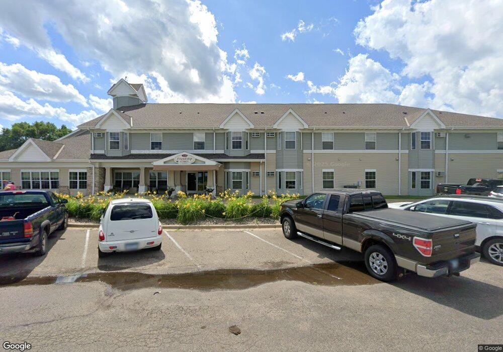
1228 S Rice St Unit 211 Blue Earth, MN 56013
Estimated Value: $184,000 - $240,000
4
Beds
3
Baths
1,826
Sq Ft
$112/Sq Ft
Est. Value
About This Home
This home is located at 1228 S Rice St Unit 211, Blue Earth, MN 56013 and is currently estimated at $205,354, approximately $112 per square foot. 1228 S Rice St Unit 211 is a home located in Faribault County with nearby schools including Blue Earth Area High School.
Ownership History
Date
Name
Owned For
Owner Type
Purchase Details
Closed on
May 2, 2025
Sold by
Dean Johnson Revocable Trust and Johnson Dean
Bought by
Johnson Lucas
Current Estimated Value
Purchase Details
Closed on
Jan 17, 2019
Sold by
Johnson Dean and Johnson Dean M
Bought by
Dean Johnson Tree Of Rev Tr Agmt Of Dean
Purchase Details
Closed on
Jun 20, 2011
Sold by
Johnson Judith A
Bought by
Johnson Lucas J
Create a Home Valuation Report for This Property
The Home Valuation Report is an in-depth analysis detailing your home's value as well as a comparison with similar homes in the area
Home Values in the Area
Average Home Value in this Area
Purchase History
| Date | Buyer | Sale Price | Title Company |
|---|---|---|---|
| Johnson Lucas | $500 | None Listed On Document | |
| Dean Johnson Tree Of Rev Tr Agmt Of Dean | -- | None Available | |
| Johnson Lucas J | $198,000 | None Available |
Source: Public Records
Tax History Compared to Growth
Tax History
| Year | Tax Paid | Tax Assessment Tax Assessment Total Assessment is a certain percentage of the fair market value that is determined by local assessors to be the total taxable value of land and additions on the property. | Land | Improvement |
|---|---|---|---|---|
| 2025 | $2,666 | $170,100 | $73,300 | $96,800 |
| 2024 | $2,558 | $646,400 | $464,100 | $182,300 |
| 2023 | $1,710 | $606,800 | $439,000 | $167,800 |
| 2022 | $1,734 | $471,500 | $334,500 | $137,000 |
| 2021 | $1,612 | $424,400 | $298,200 | $126,200 |
| 2020 | $1,412 | $416,800 | $299,200 | $117,600 |
| 2019 | $1,070 | $415,300 | $299,200 | $116,100 |
| 2018 | $2,538 | $408,200 | $299,200 | $109,000 |
| 2017 | $2,460 | $406,800 | $298,000 | $108,800 |
| 2015 | $2,190 | $421,300 | $326,400 | $94,900 |
| 2013 | -- | $411,200 | $326,000 | $85,200 |
Source: Public Records
Map
Nearby Homes
- 630 E 13th St
- 223 Oak Knoll Ct
- 512 E 11th St
- 613 S Galbraith St
- 421 S Moore St
- 323 S Galbraith St
- 208 S Ramsey St
- 920 E 6th St
- 215 N Galbraith St
- 306 E 3rd St
- 415 W 4th St
- 427 N Sailor St
- 227 E 2nd St
- 215 E 1st St
- 223 W 1st St
- 1201 Buccaneer Dr
- 106 Prairie Rose Dr
- 102 Prairie Rose Dr
- 105 Bluestem Dr
- 109 Bluestem Dr
- 1228 S Rice St Unit 105
- 1219 S Ramsey St Unit A18
- 425 E 17th St Unit 205
- 425 E 17th St Unit 203
- 1129 S Ramsey St
- 1228 S Ramsey St
- 1306 S Ramsey St
- 1224 S Ramsey St
- 1218 S Ramsey St
- 330 N Circle Dr
- 1310 S Ramsey St
- 1111 S Ramsey St
- 1312 S Ramsey St
- 322 N Circle Dr
- 1130 S Ramsey St
- 1324 S Ramsey St
- 316 N Circle Dr
- 1243 S Galbraith St
- 1309 S Galbraith St
- 1307 S Galbraith St