Estimated Value: $406,000 - $521,563
4
Beds
4
Baths
4,302
Sq Ft
$106/Sq Ft
Est. Value
About This Home
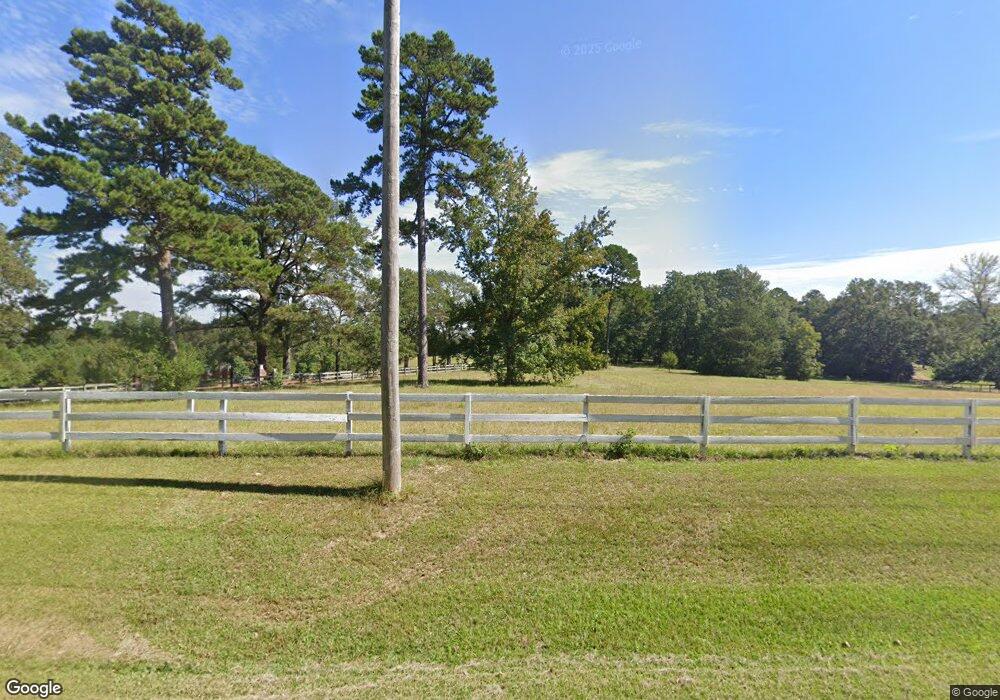
This home is located at 12284 Springridge Rd, Byram, MS 39170 and is currently estimated at $457,188, approximately $106 per square foot. 12284 Springridge Rd is a home located in Hinds County with nearby schools including Gary Road Elementary School, Gary Road Intermediate School, and Byram Middle School.
Ownership History
Date
Name
Owned For
Owner Type
Purchase Details
Closed on
Nov 19, 2015
Sold by
Gregory Joseph E and Gregory Debra E
Bought by
Frazier Raymond and Frazier Kathy A
Current Estimated Value
Home Financials for this Owner
Home Financials are based on the most recent Mortgage that was taken out on this home.
Original Mortgage
$619,850
Interest Rate
3.83%
Mortgage Type
Purchase Money Mortgage
Create a Home Valuation Report for This Property
The Home Valuation Report is an in-depth analysis detailing your home's value as well as a comparison with similar homes in the area
Home Values in the Area
Average Home Value in this Area
Purchase History
| Date | Buyer | Sale Price | Title Company |
|---|---|---|---|
| Frazier Raymond | -- | None Available |
Source: Public Records
Mortgage History
| Date | Status | Borrower | Loan Amount |
|---|---|---|---|
| Closed | Frazier Raymond | $619,850 |
Source: Public Records
Tax History
| Year | Tax Paid | Tax Assessment Tax Assessment Total Assessment is a certain percentage of the fair market value that is determined by local assessors to be the total taxable value of land and additions on the property. | Land | Improvement |
|---|---|---|---|---|
| 2025 | $4,606 | $32,536 | $1,387 | $31,149 |
| 2024 | $4,606 | $31,359 | $1,410 | $29,949 |
| 2023 | $4,606 | $31,335 | $1,386 | $29,949 |
| 2022 | $4,819 | $31,327 | $1,378 | $29,949 |
| 2021 | $4,460 | $31,351 | $1,402 | $29,949 |
| 2020 | $4,334 | $30,926 | $1,428 | $29,498 |
| 2019 | $4,307 | $30,902 | $1,404 | $29,498 |
| 2018 | $4,304 | $30,878 | $1,380 | $29,498 |
| 2017 | $4,208 | $30,855 | $1,357 | $29,498 |
| 2016 | $4,208 | $30,803 | $1,305 | $29,498 |
| 2015 | $6,985 | $47,729 | $1,608 | $46,121 |
| 2014 | $6,881 | $47,686 | $1,565 | $46,121 |
Source: Public Records
Map
Nearby Homes
- 108 Wynndale Lake Rd
- 212 Callaway Cir
- 812 Fairway Ave
- 805 Fairway Ave
- 801 Fairway Ave
- 808 Fairway Ave
- 809 Fairway Ave
- 213 Longfellow Cove
- 344 Brannan Ave
- 224 Brannan Ave
- 109 Lucas Ct
- 324 Martha Dr
- 4516 Kimbell Rd
- 699 Meadow Ln
- 109 Grande Oaks Dr
- 4145 Old Jackson Rd
- 1213 Lake Shore Dr
- 111 Saddlebrook Trail
- 8834 Gary Rd
- 0 Terry Rd Unit 24270230
- 12284 Springridge Rd
- 12392 Springridge Rd
- 12462 Springridge Rd
- 12243 Springridge Rd
- 12449 Springridge Rd
- 6209 Terry Rd
- 12100 Springridge Rd
- 12123 Springridge Rd
- 12056 Springridge Rd
- 3 Springridge Rd
- 4 Springridge Rd
- 2 Springridge Rd
- 119 Davidson Dr
- 12590 Springridge Rd
- 12571 Springridge Rd
- 6203 Terry Rd
- 6203 Terry Rd
- 12057 Springridge Rd
- 12619 Springridge Rd
- 12023 Springridge Rd
Your Personal Tour Guide
Ask me questions while you tour the home.