Estimated Value: $52,474
Studio
--
Bath
--
Sq Ft
21,780
Sq Ft Lot
About This Home
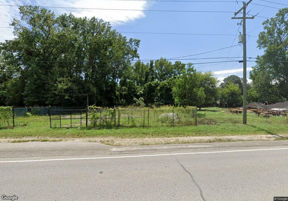
This home is located at 1229 Frink St, Cayce, SC 29033 and is currently estimated at $52,474. 1229 Frink St is a home located in Lexington County with nearby schools including Cayce Elementary, Cyril B. Busbee Creative Arts Academy, and Brookland-Cayce High School.
Ownership History
Date
Name
Owned For
Owner Type
Purchase Details
Closed on
Jan 30, 2024
Sold by
Deem Smith Trucking Llc and Dp Transport Llc
Bought by
Glover Auto Transport Services Llc
Current Estimated Value
Purchase Details
Closed on
Nov 3, 2021
Sold by
Loftis Curtis M and Loftis Mary K
Bought by
Deem Smith Trucking Llc and Dp Transport Llc
Purchase Details
Closed on
May 9, 2005
Sold by
Satterfield Henry E
Bought by
Loftis Curtis M and Loftis Mary K
Purchase Details
Closed on
Jul 7, 2000
Sold by
Blackmon Leon
Bought by
Smith Bruce R
Purchase Details
Closed on
Sep 17, 1998
Sold by
Dunlap William S
Bought by
Satterfield Henry E
Create a Home Valuation Report for This Property
The Home Valuation Report is an in-depth analysis detailing your home's value as well as a comparison with similar homes in the area
Home Values in the Area
Average Home Value in this Area
Purchase History
| Date | Buyer | Sale Price | Title Company |
|---|---|---|---|
| Glover Auto Transport Services Llc | $49,000 | None Listed On Document | |
| Deem Smith Trucking Llc | $49,000 | None Available | |
| Loftis Curtis M | $37,500 | -- | |
| Smith Bruce R | $8,000 | -- | |
| Satterfield Henry E | $32,000 | -- |
Source: Public Records
Tax History
| Year | Tax Paid | Tax Assessment Tax Assessment Total Assessment is a certain percentage of the fair market value that is determined by local assessors to be the total taxable value of land and additions on the property. | Land | Improvement |
|---|---|---|---|---|
| 2024 | $1,142 | $2,940 | $2,940 | $0 |
| 2023 | $1,129 | $2,940 | $2,940 | $0 |
| 2022 | $1,056 | $2,940 | $2,940 | $0 |
| 2020 | $538 | $1,566 | $1,566 | $0 |
| 2019 | $814 | $2,352 | $2,352 | $0 |
| 2018 | $798 | $2,352 | $2,352 | $0 |
| 2017 | $786 | $2,352 | $2,352 | $0 |
| 2016 | $790 | $2,352 | $2,352 | $0 |
| 2014 | $696 | $2,404 | $2,404 | $0 |
| 2013 | -- | $2,400 | $2,400 | $0 |
Source: Public Records
Map
Nearby Homes
- 133 Odell Dr
- 129 Odell Dr
- 121 Odell Dr
- 117 Odell Dr
- 2314 Orchard St
- 1137 Allen St
- 000 Frink St
- 1515 Benedict St
- 1314 Northland Dr
- 1521 Benton Cir
- 1512 Summerland Dr
- 1414 Hazel St
- 2312 Lucas St
- 1805 Chadsworth Dr
- 1740 Sunnyside Dr
- 1005 Sunnyside Dr
- 103 Pine Ln
- 1015 Naples Ave
- 822 Lexington Ave
- 1616 Dogwood St
Your Personal Tour Guide
Ask me questions while you tour the home.