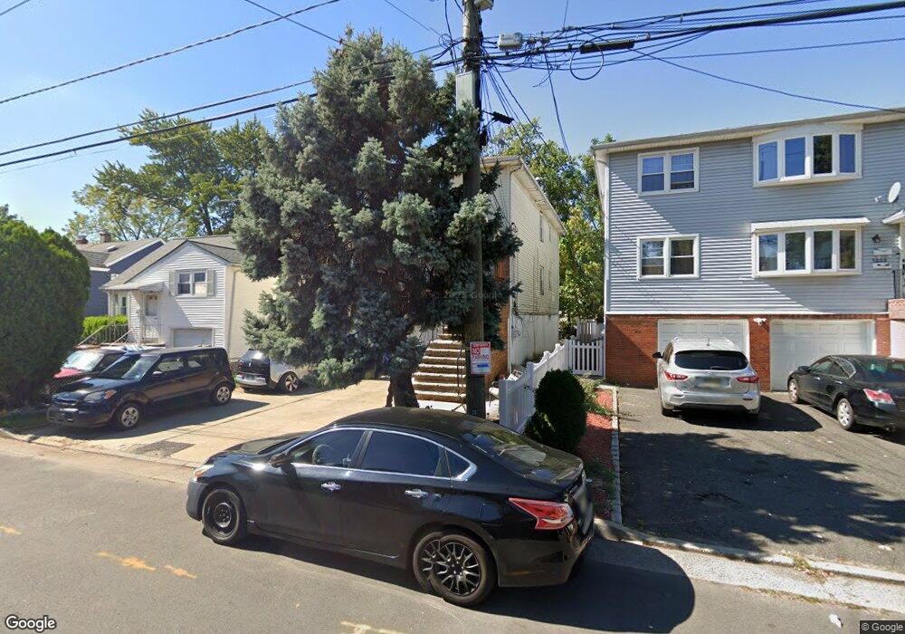
1229 Middlesex St Linden, NJ 07036
Estimated Value: $597,780 - $753,000
6
Beds
5
Baths
2,726
Sq Ft
$254/Sq Ft
Est. Value
About This Home
This home is located at 1229 Middlesex St, Linden, NJ 07036 and is currently estimated at $693,195, approximately $254 per square foot. 1229 Middlesex St is a home located in Union County with nearby schools including Dr Charles C Polk School, Grace Wilday Junior High School, and Leonard V. Moore Middle School.
Ownership History
Date
Name
Owned For
Owner Type
Purchase Details
Closed on
Mar 22, 2019
Sold by
Francis Antoine
Bought by
Francis Manouschka M
Current Estimated Value
Home Financials for this Owner
Home Financials are based on the most recent Mortgage that was taken out on this home.
Original Mortgage
$137,362
Outstanding Balance
$124,336
Interest Rate
5.99%
Mortgage Type
FHA
Estimated Equity
$568,859
Create a Home Valuation Report for This Property
The Home Valuation Report is an in-depth analysis detailing your home's value as well as a comparison with similar homes in the area
Home Values in the Area
Average Home Value in this Area
Purchase History
| Date | Buyer | Sale Price | Title Company |
|---|---|---|---|
| Francis Manouschka M | $150,000 | Foundation Title Llc |
Source: Public Records
Mortgage History
| Date | Status | Borrower | Loan Amount |
|---|---|---|---|
| Open | Francis Manouschka M | $137,362 |
Source: Public Records
Tax History Compared to Growth
Tax History
| Year | Tax Paid | Tax Assessment Tax Assessment Total Assessment is a certain percentage of the fair market value that is determined by local assessors to be the total taxable value of land and additions on the property. | Land | Improvement |
|---|---|---|---|---|
| 2025 | $12,081 | $171,800 | $32,400 | $139,400 |
| 2024 | $11,816 | $171,800 | $32,400 | $139,400 |
| 2023 | $11,816 | $171,800 | $32,400 | $139,400 |
| 2022 | $11,878 | $171,800 | $32,400 | $139,400 |
| 2021 | $11,938 | $171,800 | $32,400 | $139,400 |
| 2020 | $11,875 | $171,800 | $32,400 | $139,400 |
| 2019 | $11,835 | $171,800 | $32,400 | $139,400 |
| 2018 | $11,832 | $171,800 | $32,400 | $139,400 |
| 2017 | $14,743 | $218,800 | $32,400 | $186,400 |
| 2016 | $14,279 | $218,800 | $32,400 | $186,400 |
| 2015 | $13,734 | $218,800 | $32,400 | $186,400 |
| 2014 | $13,467 | $218,800 | $32,400 | $186,400 |
Source: Public Records
Map
Nearby Homes
- 1107 Drake Ave
- 1005 Nora Dr
- 1105 Dill Ave
- 1116 Dill Ave
- 1121 Frank St
- 1115 Frank St
- 930 Drake Ave
- 807 Carnegie St
- 1120 Morris St
- 1112 Morris St
- 916 Harrison Ave
- 1204 Warren St
- 13 Carolyn Terrace Unit A
- 1202 Warren St
- 1206 Morris St
- 407 E 10th Ave
- 1215 Bergen Ave
- 812 Lincoln St
- 410 Morris Place
- 1129 Spruce St
- 1233 Middlesex St
- 1225 Middlesex St
- 1221 Middlesex St
- 1301 Middlesex St
- 1224 Union St
- 1215 Middlesex St
- 1220 Union St
- 1211 Middlesex St
- 1305 Middlesex St
- 1226 Middlesex St
- 1230 Middlesex St
- 1216 Union St
- 1235 Union St
- 1220 Middlesex St
- 1303 Union St
- 1300 Middlesex St
- 1214 Middlesex St
- 1214 Middlesex St Unit 1
- 1214 Middlesex St Unit 2
- 1231 Union St