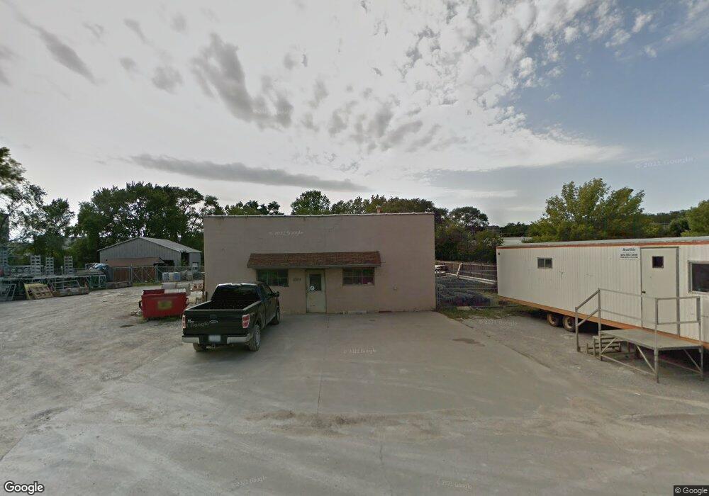
1229 Shirken Dr Iowa City, IA 52246
Estimated Value: $317,929
--
Bed
--
Bath
1,728
Sq Ft
$184/Sq Ft
Est. Value
About This Home
This home is located at 1229 Shirken Dr, Iowa City, IA 52246 and is currently estimated at $317,929, approximately $183 per square foot. 1229 Shirken Dr is a home located in Johnson County with nearby schools including Hills Elementary School, Northwest Junior High School, and West High School.
Ownership History
Date
Name
Owned For
Owner Type
Purchase Details
Closed on
Oct 15, 2021
Sold by
Yoder Larry E and Yoder Terri
Bought by
Ksk Limited Partnership
Current Estimated Value
Home Financials for this Owner
Home Financials are based on the most recent Mortgage that was taken out on this home.
Original Mortgage
$264,603
Outstanding Balance
$233,514
Interest Rate
2.8%
Mortgage Type
Future Advance Clause Open End Mortgage
Estimated Equity
$84,415
Create a Home Valuation Report for This Property
The Home Valuation Report is an in-depth analysis detailing your home's value as well as a comparison with similar homes in the area
Home Values in the Area
Average Home Value in this Area
Purchase History
| Date | Buyer | Sale Price | Title Company |
|---|---|---|---|
| Ksk Limited Partnership | $270,000 | None Available |
Source: Public Records
Mortgage History
| Date | Status | Borrower | Loan Amount |
|---|---|---|---|
| Open | Ksk Limited Partnership | $264,603 |
Source: Public Records
Tax History Compared to Growth
Tax History
| Year | Tax Paid | Tax Assessment Tax Assessment Total Assessment is a certain percentage of the fair market value that is determined by local assessors to be the total taxable value of land and additions on the property. | Land | Improvement |
|---|---|---|---|---|
| 2025 | $8,736 | $264,350 | $155,950 | $108,400 |
| 2024 | $8,822 | $249,310 | $155,950 | $93,360 |
| 2023 | $7,622 | $249,310 | $155,950 | $93,360 |
| 2022 | $4,730 | $219,900 | $141,770 | $78,130 |
| 2021 | $4,720 | $219,900 | $141,770 | $78,130 |
| 2020 | $4,720 | $218,310 | $141,770 | $76,540 |
| 2019 | $4,608 | $218,310 | $141,770 | $76,540 |
| 2018 | $4,608 | $209,750 | $141,770 | $67,980 |
| 2017 | $4,186 | $209,750 | $141,770 | $67,980 |
| 2016 | $4,104 | $190,420 | $126,020 | $64,400 |
| 2015 | $4,104 | $190,420 | $126,020 | $64,400 |
| 2014 | $4,006 | $184,730 | $126,020 | $58,710 |
Source: Public Records
Map
Nearby Homes
- 946 Miller Ave
- 184 Prairie Hill Ln
- 337 & 339 W Benton St
- 914 Benton Dr Unit 22
- 810 Benton Dr Unit 12
- 910 Benton Dr Unit 31
- 732,736,740 Michael St
- 802 Benton Dr Unit 21
- 1006 Wylde Green Rd
- 321 Woodside Dr Unit 2B
- 922 Wylde Green Rd
- 8 Wrexham Dr
- 43 Leamer Ct
- 124 Penfro Dr
- 500 Grandview Ct Unit 524
- 205 Koser Ave
- 556 Mahaska Ct
- 305 E Prentiss St Unit 315 Prentiss and 625
- 911 S Van Buren St
- 300 S Clinton St Unit 706
- 485 Iowa 1
- 485 Highway 1 W
- 483 Highway 1 W
- 483 Highway 1 W
- 497 Highway 1 W
- 1125 Shirken Dr
- 1125 Shirken Dr
- 459 Highway 1 W
- 1127 Shirken Dr
- 465 Highway 1 W Unit 200
- 453 Highway 1 W
- 521 Highway 1 W
- 531 Highway 1 W
- 451 Iowa 1
- 443 Highway 1 W
- 441 Highway 1 W
- 449 Highway 1 W
- 537 Highway 1 W
- 537 Highway 1 W Unit 1
- 537 Highway 1 W Unit 2