Estimated Value: $240,552 - $271,000
3
Beds
2
Baths
1,092
Sq Ft
$232/Sq Ft
Est. Value
About This Home
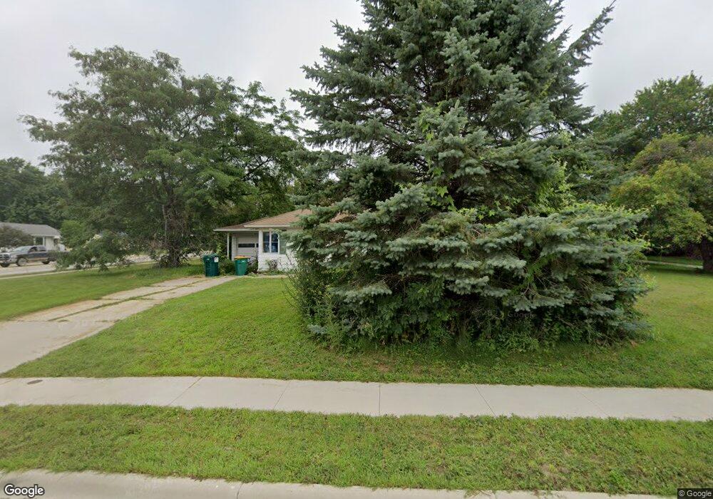
This home is located at 123 2nd St NW, Byron, MN 55920 and is currently estimated at $253,888, approximately $232 per square foot. 123 2nd St NW is a home located in Olmsted County with nearby schools including Byron Intermediate School, Byron Middle School, and Byron Senior High School.
Ownership History
Date
Name
Owned For
Owner Type
Purchase Details
Closed on
Nov 4, 2005
Sold by
Trump David P and Trump Leslie Elaine
Bought by
Delaurentis Jeffrey A and Delaurentis Shannon L
Current Estimated Value
Home Financials for this Owner
Home Financials are based on the most recent Mortgage that was taken out on this home.
Original Mortgage
$129,219
Outstanding Balance
$71,190
Interest Rate
6.13%
Mortgage Type
VA
Estimated Equity
$182,698
Create a Home Valuation Report for This Property
The Home Valuation Report is an in-depth analysis detailing your home's value as well as a comparison with similar homes in the area
Home Values in the Area
Average Home Value in this Area
Purchase History
| Date | Buyer | Sale Price | Title Company |
|---|---|---|---|
| Delaurentis Jeffrey A | $126,500 | Burnet Title |
Source: Public Records
Mortgage History
| Date | Status | Borrower | Loan Amount |
|---|---|---|---|
| Open | Delaurentis Jeffrey A | $129,219 |
Source: Public Records
Tax History
| Year | Tax Paid | Tax Assessment Tax Assessment Total Assessment is a certain percentage of the fair market value that is determined by local assessors to be the total taxable value of land and additions on the property. | Land | Improvement |
|---|---|---|---|---|
| 2024 | $3,294 | $195,900 | $40,000 | $155,900 |
| 2023 | $2,839 | $197,300 | $40,000 | $157,300 |
| 2022 | $3,244 | $194,400 | $40,000 | $154,400 |
| 2021 | $2,354 | $166,900 | $40,000 | $126,900 |
| 2020 | $2,360 | $157,500 | $40,000 | $117,500 |
| 2019 | $2,098 | $154,500 | $30,000 | $124,500 |
| 2018 | $1,907 | $141,100 | $25,000 | $116,100 |
| 2017 | $1,882 | $130,600 | $22,000 | $108,600 |
| 2016 | $1,760 | $105,100 | $17,700 | $87,400 |
| 2015 | $1,694 | $95,800 | $17,300 | $78,500 |
| 2014 | $1,548 | $95,800 | $17,300 | $78,500 |
| 2012 | -- | $95,300 | $17,242 | $78,058 |
Source: Public Records
Map
Nearby Homes
- 220 4th St NW
- 323 2nd St NW
- 259 Brookmoor Ln NW
- 308 2nd St NE
- 805 1st Ave NW
- 509 4th Ave NE
- TBD 708th St
- 910 Byron Ave N
- 713 7th St NW
- 612 4th St NE
- 926 Byron Ave N
- 631 7th Ave NE
- 1017 8th Ave NW
- 1826 (L15,B2) 4th St NE
- 1720 (L1,B2) 4th St NE
- 1890 (L19,B2) 4th St NE
- 1756 (L4,B2) 4th St NE
- 655 Somerby Pkwy NE
- 667 Somerby Pkwy NE
- 578 Somerby Pkwy NE
- 200 200 2nd-Avenue-nw
- 200 2nd Ave NW
- 204 2nd Ave NW
- 211 1st Ave NW
- 209 1st Ave NW
- 213 1st Ave NW
- 122 2nd St NW
- 120 2nd St NW
- 203 2nd Ave NW
- 208 2nd Ave NW
- 117 117 2nd-Avenue-nw
- 117 2nd Ave NW
- 215 1st Ave NW
- 118 2nd St NW
- 207 2nd Ave NW
- 115 2nd Ave NW
- 219 219 1st Ave NW
- 109 2nd Ave NW
- 211 2nd Ave NW
- 105 2nd Ave NW
Your Personal Tour Guide
Ask me questions while you tour the home.