123 Allens Point Rd Marion, MA 02738
Estimated Value: $1,288,000 - $1,861,384
4
Beds
3
Baths
2,829
Sq Ft
$597/Sq Ft
Est. Value
About This Home
This home is located at 123 Allens Point Rd, Marion, MA 02738 and is currently estimated at $1,688,346, approximately $596 per square foot. 123 Allens Point Rd is a home located in Plymouth County with nearby schools including Old Rochester Regional High School.
Ownership History
Date
Name
Owned For
Owner Type
Purchase Details
Closed on
Jun 19, 2009
Sold by
Minard Alan M and Johnson Nancy S
Bought by
Nancy S Johnson T and Johnson Nancy S
Current Estimated Value
Purchase Details
Closed on
Mar 29, 1995
Sold by
Brant Debruyn & Co and Debruyn Patricia P
Bought by
Minard Alan L and Johnson Nancy S
Create a Home Valuation Report for This Property
The Home Valuation Report is an in-depth analysis detailing your home's value as well as a comparison with similar homes in the area
Home Values in the Area
Average Home Value in this Area
Purchase History
| Date | Buyer | Sale Price | Title Company |
|---|---|---|---|
| Nancy S Johnson T | -- | -- | |
| Minard Alan L | $272,500 | -- |
Source: Public Records
Mortgage History
| Date | Status | Borrower | Loan Amount |
|---|---|---|---|
| Previous Owner | Minard Alan L | $325,000 | |
| Previous Owner | Minard Alan L | $199,000 | |
| Previous Owner | Minard Alan L | $200,000 |
Source: Public Records
Tax History Compared to Growth
Tax History
| Year | Tax Paid | Tax Assessment Tax Assessment Total Assessment is a certain percentage of the fair market value that is determined by local assessors to be the total taxable value of land and additions on the property. | Land | Improvement |
|---|---|---|---|---|
| 2025 | $14,713 | $1,578,652 | $959,252 | $619,400 |
| 2024 | $13,720 | $1,481,630 | $952,430 | $529,200 |
| 2023 | $11,143 | $1,180,386 | $761,486 | $418,900 |
| 2022 | $13,247 | $1,220,914 | $795,514 | $425,400 |
| 2021 | $13,377 | $1,181,684 | $774,084 | $407,600 |
| 2020 | $13,246 | $1,132,100 | $774,400 | $357,700 |
| 2019 | $12,487 | $1,132,100 | $774,400 | $357,700 |
| 2018 | $10,385 | $907,000 | $595,100 | $311,900 |
| 2017 | $10,349 | $907,000 | $595,100 | $311,900 |
| 2016 | $9,897 | $875,100 | $595,100 | $280,000 |
| 2015 | $10,071 | $906,500 | $595,100 | $311,400 |
Source: Public Records
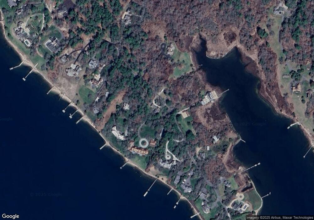
Map
Nearby Homes
- 0 Delano Rd
- 25 Hammetts Cove Rd
- 8 Vine St
- 16 Vine St
- 58 Delano Rd
- 13 Cottage St
- 0 Register Rd
- 414 Point Rd
- 44 Register Rd
- 27 Beach St
- 11 Joanne Dr
- 0 Beach St
- 25 West Ave
- 00 Delano Rd
- 5 Hermitage Rd
- 4 Rebecca Dr
- 4 Blackhall Ct
- 245 Wareham Rd
- 0 Cross Neck Rd Unit 73420524
- 0 Cross Neck Rd Unit 73420525
- 125 Allens Point Rd
- 131 Allens Point Rd
- 111 Allens Point Rd
- 105 Allens Point Rd
- 137 Allens Point Rd
- 137 Allen's Point Rd
- 146 Allens Point Rd
- 95 Allens Point Rd
- 145 Allens Point Rd
- 91 Allen's Point Rd
- 151 Allens Point Rd
- 89 Allens Point Rd
- 91 Allens Point Rd
- 91A Allens Point Rd
- 163 Allens Point Rd
- 1 West Dr
- 166 Allens Point Rd
- 91B Allens Point Rd
- 167 Allens Point Rd
- 2A West Dr