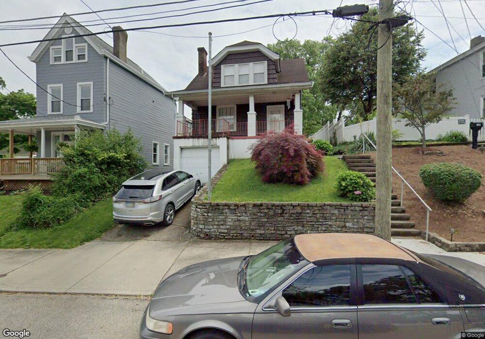
123 Baker Ave Cincinnati, OH 45217
Estimated Value: $166,000 - $246,000
2
Beds
2
Baths
1,786
Sq Ft
$118/Sq Ft
Est. Value
About This Home
This home is located at 123 Baker Ave, Cincinnati, OH 45217 and is currently estimated at $210,706, approximately $117 per square foot. 123 Baker Ave is a home located in Hamilton County with nearby schools including St Bernard Elementary School, St Bernard-Elmwood Place High School, and The New School.
Ownership History
Date
Name
Owned For
Owner Type
Purchase Details
Closed on
Jan 5, 2000
Sold by
Dells Geneva H
Bought by
Queale Shawn M and Queale Andrea D
Current Estimated Value
Home Financials for this Owner
Home Financials are based on the most recent Mortgage that was taken out on this home.
Original Mortgage
$53,900
Interest Rate
11.45%
Create a Home Valuation Report for This Property
The Home Valuation Report is an in-depth analysis detailing your home's value as well as a comparison with similar homes in the area
Home Values in the Area
Average Home Value in this Area
Purchase History
| Date | Buyer | Sale Price | Title Company |
|---|---|---|---|
| Queale Shawn M | $77,000 | River Valley Title Agency |
Source: Public Records
Mortgage History
| Date | Status | Borrower | Loan Amount |
|---|---|---|---|
| Previous Owner | Queale Shawn M | $53,900 | |
| Closed | Queale Shawn M | $15,400 |
Source: Public Records
Tax History
| Year | Tax Paid | Tax Assessment Tax Assessment Total Assessment is a certain percentage of the fair market value that is determined by local assessors to be the total taxable value of land and additions on the property. | Land | Improvement |
|---|---|---|---|---|
| 2025 | $3,162 | $51,444 | $8,747 | $42,697 |
| 2023 | $3,161 | $51,444 | $8,747 | $42,697 |
| 2022 | $1,993 | $25,194 | $6,822 | $18,372 |
| 2021 | $1,941 | $25,194 | $6,822 | $18,372 |
| 2020 | $1,923 | $25,194 | $6,822 | $18,372 |
| 2019 | $1,786 | $21,532 | $5,831 | $15,701 |
| 2018 | $1,815 | $21,532 | $5,831 | $15,701 |
| 2017 | $1,680 | $21,532 | $5,831 | $15,701 |
| 2016 | $1,643 | $21,078 | $6,871 | $14,207 |
| 2015 | $1,546 | $21,078 | $6,871 | $14,207 |
| 2014 | $1,545 | $21,078 | $6,871 | $14,207 |
| 2013 | $1,582 | $22,187 | $7,231 | $14,956 |
Source: Public Records
Map
Nearby Homes
- 44 Baker Ave
- 4525 Vine St
- 27 Phillips Ave
- 326 Bank Ave
- 4412 Vine St
- 36 Wuest St
- 4409 Sullivan Ave
- 320 Mcclelland Ave
- 406 Washington Ave
- 421 Jefferson Ave
- 24 Parkwood Place
- 38 Clinton Springs Ave
- 504 Orient Ave
- 3923 Wess Park Dr
- 547 Flatt Terrace
- 509 E Epworth Ave
- 622 Orient Ave
- 5128 Imwalle Ave
- 710 E Ross Ave
- 5140 Imwalle Ave
Your Personal Tour Guide
Ask me questions while you tour the home.