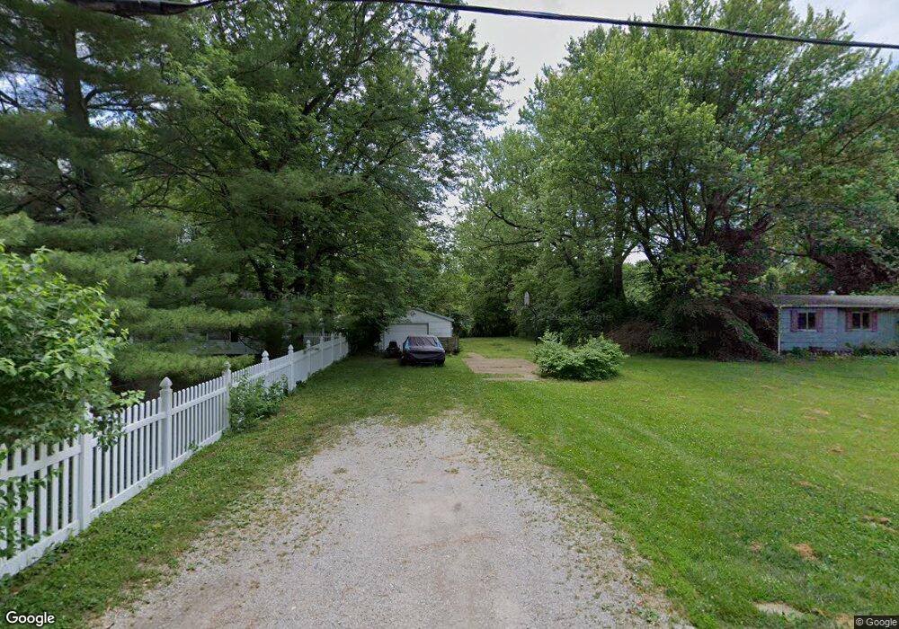
123 Booster Rd O Fallon, IL 62269
Estimated Value: $88,314 - $150,000
Studio
--
Bath
1,400
Sq Ft
$86/Sq Ft
Est. Value
About This Home
This home is located at 123 Booster Rd, O Fallon, IL 62269 and is currently estimated at $120,579, approximately $86 per square foot. 123 Booster Rd is a home with nearby schools including Central Elementary School, Joseph Arthur Middle School, and O'Fallon Township High School.
Ownership History
Date
Name
Owned For
Owner Type
Purchase Details
Closed on
Mar 9, 2012
Sold by
Fifth Third Mortgage Company
Bought by
Cr Capital Group Llc
Current Estimated Value
Purchase Details
Closed on
Jul 7, 2008
Sold by
Thomas Michael E
Bought by
Fifth Third Bank Mortgage Company
Purchase Details
Closed on
May 30, 2001
Sold by
Recklein Diann M
Bought by
Thomas Michael E
Home Financials for this Owner
Home Financials are based on the most recent Mortgage that was taken out on this home.
Original Mortgage
$56,495
Interest Rate
7.23%
Mortgage Type
FHA
Create a Home Valuation Report for This Property
The Home Valuation Report is an in-depth analysis detailing your home's value as well as a comparison with similar homes in the area
Home Values in the Area
Average Home Value in this Area
Purchase History
| Date | Buyer | Sale Price | Title Company |
|---|---|---|---|
| Cr Capital Group Llc | $5,500 | None Available | |
| Fifth Third Bank Mortgage Company | -- | None Available | |
| Thomas Michael E | $57,000 | First American Title |
Source: Public Records
Mortgage History
| Date | Status | Borrower | Loan Amount |
|---|---|---|---|
| Previous Owner | Thomas Michael E | $56,495 |
Source: Public Records
Tax History
| Year | Tax Paid | Tax Assessment Tax Assessment Total Assessment is a certain percentage of the fair market value that is determined by local assessors to be the total taxable value of land and additions on the property. | Land | Improvement |
|---|---|---|---|---|
| 2024 | $275 | $3,879 | $3,584 | $295 |
| 2023 | $262 | $3,432 | $3,171 | $261 |
| 2022 | $251 | $3,330 | $3,108 | $222 |
| 2021 | $248 | $3,161 | $2,950 | $211 |
| 2020 | $246 | $2,994 | $2,794 | $200 |
| 2019 | $242 | $2,994 | $2,794 | $200 |
| 2018 | $262 | $3,201 | $2,987 | $214 |
| 2017 | $259 | $3,071 | $2,866 | $205 |
| 2016 | $258 | $3,001 | $2,801 | $200 |
| 2014 | $66 | $1,640 | $1,433 | $207 |
| 2013 | $1,470 | $4,612 | $1,459 | $3,153 |
Source: Public Records
Map
Nearby Homes
- 208 Ellen Ln
- 212 Meadowbrook Dr
- 226 Meddows Ln
- 509 Long Dr
- 1439 Kingsley Dr
- 1446 Willoughby Dr
- 936 Saint Clair St
- 1213 Three Rivers Dr
- 204 Pamona Dr
- 6104 Old Collinsville Rd
- 903 Coral Dr
- 124 Cottage Hill Dr
- 1420 Winchester Grove Ct
- 919 Holliday Dr
- 984 Northwestern Ave
- Bristol Plan at Park Bridge Station
- Winchester A Plan at Park Bridge Station
- Herndon Plan at Park Bridge Station
- Covington Plan at Park Bridge Station
- Brady Plan at Park Bridge Station