123 Calstrada Dr Staunton, IL 62088
Estimated Value: $191,000 - $251,619
--
Bed
--
Bath
--
Sq Ft
5.05
Acres
About This Home
This home is located at 123 Calstrada Dr, Staunton, IL 62088 and is currently estimated at $225,405. 123 Calstrada Dr is a home located in Macoupin County with nearby schools including Staunton Elementary School, Staunton Junior High School, and Staunton High School.
Ownership History
Date
Name
Owned For
Owner Type
Purchase Details
Closed on
May 7, 2021
Sold by
Altenhofen Andrew W and Altenhofen Kimberly J
Bought by
Altenhofen David
Current Estimated Value
Home Financials for this Owner
Home Financials are based on the most recent Mortgage that was taken out on this home.
Original Mortgage
$154,239
Outstanding Balance
$139,779
Interest Rate
3.1%
Mortgage Type
New Conventional
Estimated Equity
$85,626
Purchase Details
Closed on
Oct 4, 2006
Bought by
Altenhofen Andrew and Altenhofen Kimberly
Create a Home Valuation Report for This Property
The Home Valuation Report is an in-depth analysis detailing your home's value as well as a comparison with similar homes in the area
Home Values in the Area
Average Home Value in this Area
Purchase History
| Date | Buyer | Sale Price | Title Company |
|---|---|---|---|
| Altenhofen David | $185,000 | Community Title & Escrow | |
| Altenhofen Andrew | $135,000 | -- |
Source: Public Records
Mortgage History
| Date | Status | Borrower | Loan Amount |
|---|---|---|---|
| Open | Altenhofen David | $154,239 |
Source: Public Records
Tax History Compared to Growth
Tax History
| Year | Tax Paid | Tax Assessment Tax Assessment Total Assessment is a certain percentage of the fair market value that is determined by local assessors to be the total taxable value of land and additions on the property. | Land | Improvement |
|---|---|---|---|---|
| 2024 | $3,664 | $62,448 | $4,123 | $58,325 |
| 2023 | $2,970 | $57,823 | $3,818 | $54,005 |
| 2022 | $2,970 | $54,040 | $3,568 | $50,472 |
| 2021 | $2,705 | $56,505 | $3,335 | $53,170 |
| 2020 | $2,623 | $53,201 | $3,117 | $50,084 |
| 2019 | $2,509 | $44,954 | $2,969 | $41,985 |
| 2018 | $2,511 | $44,954 | $0 | $0 |
| 2017 | $2,484 | $44,954 | $2,969 | $41,985 |
| 2016 | $2,524 | $43,729 | $2,888 | $40,841 |
| 2015 | $2,404 | $43,729 | $2,888 | $40,841 |
| 2014 | $2,377 | $43,729 | $2,888 | $40,841 |
| 2013 | $2,292 | $43,729 | $2,888 | $40,841 |
Source: Public Records
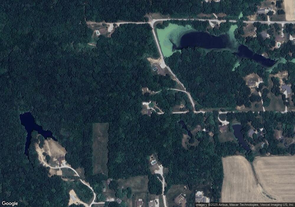
Map
Nearby Homes
- 148 S Timberview Dr
- 18347 Windy Hill Rd
- 1545 Kathleen Dr
- 995 Alicia Way
- 18415 Oxford Rd
- 9479 Schaefer Rd
- 9455 Renken Rd
- Outer Lot Oxford Rd
- 1107 W 6th St
- 919 S Hackman St
- 1032 W Pearl St
- 904 W Miller Dr
- 0 Stonecreek Subdivision
- 1016 Fox Manor Ct
- 626 W 6th St
- 615 Stonecreek Dr
- 1059 Wolf Creek Ct
- 706 S Hibbard St
- 311 S Hibbard St
- Bristol Villa Plan at StoneCreek
- 119 Calstrada Dr
- 18075 W Oxford Rd
- 113 Calstrada Dr
- 1430 W 6th St
- 1426 W 6th St
- 17744 Vfw Rd
- 18071 W Oxford Rd
- 18067 W Oxford Rd
- 18077 W Oxford Rd
- 107 Calstrada Dr
- 17710 Vfw Rd
- TBD W Oxford Rd
- 18085 W Oxford Rd
- 18060 W Oxford Rd
- 0 W Oxford Rd
- 1425 W 6th St
- 1420 W 6th St
- 88 Calstrada Dr
- 18068 W Oxford Rd
- 18064 W Oxford Rd