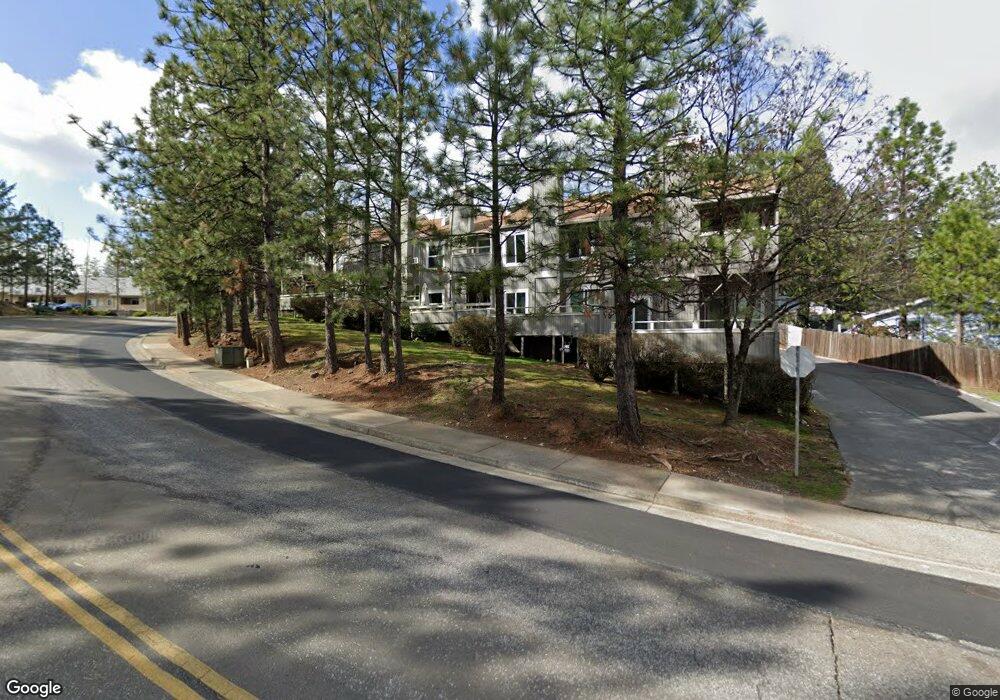
123 Comstock Ct Grass Valley, CA 95945
Estimated Value: $291,103 - $308,000
2
Beds
1
Bath
1,260
Sq Ft
$240/Sq Ft
Est. Value
About This Home
This home is located at 123 Comstock Ct, Grass Valley, CA 95945 and is currently estimated at $302,026, approximately $239 per square foot. 123 Comstock Ct is a home located in Nevada County with nearby schools including Bell Hill Academy, Margaret G. Scotten Elementary School, and Lyman Gilmore Middle School.
Ownership History
Date
Name
Owned For
Owner Type
Purchase Details
Closed on
Oct 3, 2000
Sold by
Thomas Wathada
Bought by
Smith Erin P
Current Estimated Value
Home Financials for this Owner
Home Financials are based on the most recent Mortgage that was taken out on this home.
Original Mortgage
$72,086
Outstanding Balance
$26,364
Interest Rate
7.96%
Mortgage Type
FHA
Estimated Equity
$275,662
Create a Home Valuation Report for This Property
The Home Valuation Report is an in-depth analysis detailing your home's value as well as a comparison with similar homes in the area
Home Values in the Area
Average Home Value in this Area
Purchase History
| Date | Buyer | Sale Price | Title Company |
|---|---|---|---|
| Smith Erin P | $112,000 | California Land Title Co |
Source: Public Records
Mortgage History
| Date | Status | Borrower | Loan Amount |
|---|---|---|---|
| Open | Smith Erin P | $72,086 | |
| Closed | Smith Erin P | $40,000 |
Source: Public Records
Tax History Compared to Growth
Tax History
| Year | Tax Paid | Tax Assessment Tax Assessment Total Assessment is a certain percentage of the fair market value that is determined by local assessors to be the total taxable value of land and additions on the property. | Land | Improvement |
|---|---|---|---|---|
| 2025 | $1,784 | $168,736 | $37,654 | $131,082 |
| 2024 | $1,740 | $165,428 | $36,916 | $128,512 |
| 2023 | $1,740 | $162,186 | $36,193 | $125,993 |
| 2022 | $1,723 | $159,007 | $35,484 | $123,523 |
| 2021 | $1,667 | $155,890 | $34,789 | $121,101 |
| 2020 | $1,665 | $154,293 | $34,433 | $119,860 |
| 2019 | $1,596 | $151,268 | $33,758 | $117,510 |
| 2018 | $1,588 | $148,303 | $33,097 | $115,206 |
| 2017 | $1,525 | $145,397 | $32,449 | $112,948 |
| 2016 | $1,469 | $142,547 | $31,813 | $110,734 |
| 2015 | $1,448 | $140,407 | $31,336 | $109,071 |
| 2014 | $1,448 | $137,658 | $30,723 | $106,935 |
Source: Public Records
Map
Nearby Homes
- 1576 Mulberry Dr
- 1517 Mulberry Dr
- 987 Pampas Dr
- 975 Amber Loop
- 1025 Amber Loop
- 970 Laurel Ln
- 319 Shamrock Dr
- 318 Shamrock Dr
- 315 Shamrock Dr
- 314 Shamrock Dr
- 311 Shamrock Dr
- 310 Shamrock Dr
- 307 Shamrock Dr
- 303 Shamrock Dr
- 222 Shamrock Dr
- 136 Jackrabbit Rd
- 114 Jackrabbit Rd
- 118 Jackrabbit Rd
- 106 Jackrabbit Rd
- 110 Jackrabbit Rd
- 125 Comstock Ct
- 119 Comstock Ct
- 129 Comstock Ct
- 115 Comstock Ct
- 117 Comstock Ct
- 1616 Mulberry Dr
- 111 Comstock Ct
- 1606 Mulberry Dr
- 1596 Mulberry Dr
- 109 Comstock Ct
- 1617 Mulberry Dr
- 1617 Mulberry Dr
- 107 Comstock Ct
- 12626 Mulberry Dr
- 12628 Mulberry Dr
- 13496 Mulberry Dr
- 13492 Mulberry Dr
- 105 Comstock Ct
- 339 Dorsey Dr