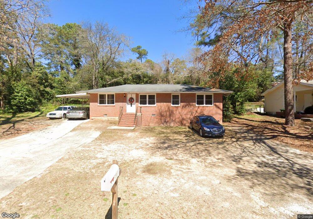
123 Forrester Dr Warner Robins, GA 31088
Estimated Value: $130,703 - $191,000
--
Bed
2
Baths
1,404
Sq Ft
$109/Sq Ft
Est. Value
About This Home
This home is located at 123 Forrester Dr, Warner Robins, GA 31088 and is currently estimated at $152,676, approximately $108 per square foot. 123 Forrester Dr is a home located in Houston County with nearby schools including Miller Elementary School, Huntington Middle School, and Warner Robins High School.
Ownership History
Date
Name
Owned For
Owner Type
Purchase Details
Closed on
Aug 6, 2010
Sold by
Brown Willie James
Bought by
Brown Shawn Felicia Shondrell and Sec Zeus
Current Estimated Value
Purchase Details
Closed on
Jan 5, 2010
Sold by
Padget Pamela E
Bought by
Phh Mortgage Corporation
Purchase Details
Closed on
Apr 2, 2004
Sold by
Bell Phillip Ray and Bell Charlotte
Bought by
Padget Pamela E
Purchase Details
Closed on
Apr 5, 1995
Sold by
Bell Phillip Ray
Bought by
Bell Phillip Ray and Bell Charlotte M
Purchase Details
Closed on
Mar 28, 1991
Sold by
Orr Hilda L
Bought by
Bell Phillip Ray
Create a Home Valuation Report for This Property
The Home Valuation Report is an in-depth analysis detailing your home's value as well as a comparison with similar homes in the area
Home Values in the Area
Average Home Value in this Area
Purchase History
| Date | Buyer | Sale Price | Title Company |
|---|---|---|---|
| Brown Shawn Felicia Shondrell | -- | None Available | |
| Phh Mortgage Corporation | $69,831 | None Available | |
| Padget Pamela E | $69,000 | -- | |
| Bell Phillip Ray | -- | -- | |
| Bell Phillip Ray | $45,000 | -- |
Source: Public Records
Tax History Compared to Growth
Tax History
| Year | Tax Paid | Tax Assessment Tax Assessment Total Assessment is a certain percentage of the fair market value that is determined by local assessors to be the total taxable value of land and additions on the property. | Land | Improvement |
|---|---|---|---|---|
| 2024 | $1,393 | $42,560 | $4,000 | $38,560 |
| 2023 | $1,165 | $35,320 | $4,000 | $31,320 |
| 2022 | $601 | $26,120 | $3,200 | $22,920 |
| 2021 | $546 | $23,600 | $3,800 | $19,800 |
| 2020 | $546 | $23,480 | $3,800 | $19,680 |
| 2019 | $545 | $23,480 | $3,800 | $19,680 |
| 2018 | $545 | $23,480 | $3,800 | $19,680 |
| 2017 | $546 | $23,480 | $3,800 | $19,680 |
| 2016 | $547 | $23,480 | $3,800 | $19,680 |
| 2015 | -- | $23,480 | $3,800 | $19,680 |
| 2014 | -- | $23,480 | $3,800 | $19,680 |
| 2013 | -- | $23,480 | $3,800 | $19,680 |
Source: Public Records
Map
Nearby Homes
- 119 Forrester Dr
- 117 Forrester Dr
- 135 Kirkwood Cir
- 133 Kirkwood Cir
- 115 Forrester Dr
- 131 Kirkwood Cir
- 127 Garland Terrace
- 129 Garland Terrace
- 133 Garland Terrace
- 201 Kirkwood Cir
- 113 Forrester Dr
- 135 Garland Terrace
- 127 Kirkwood Cir
- 0 Kirkwood Cir Unit 3147669
- 132 Kirkwood Cir
- 114 Forrester Dr
- 136 Kirkwood Cir
- 0 Forrester Dr Unit 7621801
- 0 Forrester Dr Unit 7562125
- 0 Forrester Dr Unit 7170003