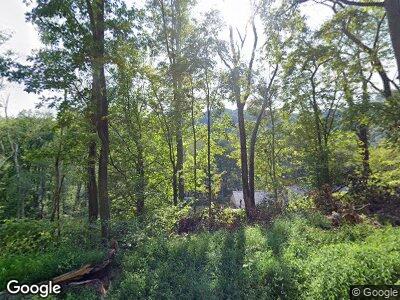
123 High St Avonmore, PA 15618
Kiskiminetas Township NeighborhoodEstimated Value: $63,000 - $374,059
3
Beds
2
Baths
1,836
Sq Ft
$127/Sq Ft
Est. Value
About This Home
This home is located at 123 High St, Avonmore, PA 15618 and is currently estimated at $234,015, approximately $127 per square foot. 123 High St is a home with nearby schools including Apollo-Ridge Elementary School, Apollo-Ridge Middle School, and Apollo-Ridge High School.
Ownership History
Date
Name
Owned For
Owner Type
Purchase Details
Closed on
Jun 12, 2020
Sold by
King Elden L and King Cindy L
Bought by
Mcandrew Ryan and Mcandrew Kayla
Current Estimated Value
Purchase Details
Closed on
Jul 2, 2004
Bought by
King Elden L and King Cindy L
Purchase Details
Closed on
Oct 22, 1968
Bought by
King Margaret H
Create a Home Valuation Report for This Property
The Home Valuation Report is an in-depth analysis detailing your home's value as well as a comparison with similar homes in the area
Home Values in the Area
Average Home Value in this Area
Purchase History
| Date | Buyer | Sale Price | Title Company |
|---|---|---|---|
| Mcandrew Ryan | -- | None Available | |
| King Elden L | $9,000 | -- | |
| King Margaret H | -- | -- |
Source: Public Records
Mortgage History
| Date | Status | Borrower | Loan Amount |
|---|---|---|---|
| Open | Mcandrew Ryan Alan | $60,000 | |
| Open | Mcandrew Ryan | $226,190 | |
| Closed | Mcandrew Ryan | $180,000 |
Source: Public Records
Tax History Compared to Growth
Tax History
| Year | Tax Paid | Tax Assessment Tax Assessment Total Assessment is a certain percentage of the fair market value that is determined by local assessors to be the total taxable value of land and additions on the property. | Land | Improvement |
|---|---|---|---|---|
| 2025 | $9,051 | $94,560 | $52,220 | $42,340 |
| 2024 | $8,406 | $94,560 | $52,220 | $42,340 |
| 2023 | $6,594 | $94,560 | $52,220 | $42,340 |
| 2022 | $6,520 | $94,560 | $52,220 | $42,340 |
| 2021 | $285 | $2,320 | $2,320 | $0 |
| 2020 | $329 | $2,680 | $2,680 | $0 |
| 2019 | $2,985 | $2,680 | $2,680 | $0 |
| 2018 | $327 | $3,825 | $3,825 | $0 |
| 2017 | $325 | $2,680 | $2,680 | $0 |
| 2016 | $325 | $2,680 | $2,680 | $0 |
| 2015 | $295 | $2,680 | $2,680 | $0 |
| 2014 | $295 | $2,680 | $2,680 | $0 |
Source: Public Records
Map
Nearby Homes
- 140 High St
- 216 Stewart St
- 309 Whitesell St
- 15 Indiana Ave
- 33 Indiana Ave
- 126 Westmoreland Ave
- 213 Indiana Ave
- Lot 6 Horrell Rd
- Lot A Guthrie Rd
- 722 Indiana Ave
- 3954 Pennsylvania 819
- 4416 State Route 819
- 233 Washington Street (Rte 286)
- 3049 Bell Plan Dr
- 271 Kochka Dr
- 125 Kochka Dr
- 204 Pauline Dr
- 315 Phyllis Dr
- 407 Cathedral St
- 828 Pine St R
