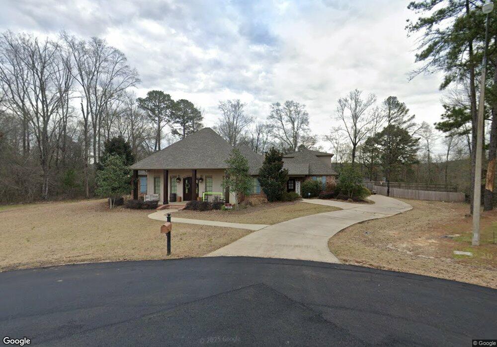
123 Lawrence Dr Brandon, MS 39047
Estimated Value: $574,000 - $714,000
5
Beds
4
Baths
4,081
Sq Ft
$155/Sq Ft
Est. Value
About This Home
This home is located at 123 Lawrence Dr, Brandon, MS 39047 and is currently estimated at $634,238, approximately $155 per square foot. 123 Lawrence Dr is a home located in Rankin County with nearby schools including Northshore Elementary School, Northwest Rankin Middle School, and Northwest Rankin High School.
Ownership History
Date
Name
Owned For
Owner Type
Purchase Details
Closed on
May 6, 2019
Sold by
Hildress Christopher J and Childress Emily S
Bought by
Bishop Michael B and Bishop Tonya L
Current Estimated Value
Home Financials for this Owner
Home Financials are based on the most recent Mortgage that was taken out on this home.
Original Mortgage
$412,250
Outstanding Balance
$360,971
Interest Rate
4%
Mortgage Type
New Conventional
Estimated Equity
$273,267
Purchase Details
Closed on
Jun 11, 2012
Sold by
Trustmark National Bank
Bought by
Sumrall Childress Christopher John and Sumrall Childress Emily
Create a Home Valuation Report for This Property
The Home Valuation Report is an in-depth analysis detailing your home's value as well as a comparison with similar homes in the area
Home Values in the Area
Average Home Value in this Area
Purchase History
| Date | Buyer | Sale Price | Title Company |
|---|---|---|---|
| Bishop Michael B | -- | -- | |
| Sumrall Childress Christopher John | -- | Title & Escrow Services, Inc |
Source: Public Records
Mortgage History
| Date | Status | Borrower | Loan Amount |
|---|---|---|---|
| Open | Bishop Michael B | $412,250 |
Source: Public Records
Tax History Compared to Growth
Tax History
| Year | Tax Paid | Tax Assessment Tax Assessment Total Assessment is a certain percentage of the fair market value that is determined by local assessors to be the total taxable value of land and additions on the property. | Land | Improvement |
|---|---|---|---|---|
| 2024 | $4,591 | $45,413 | $0 | $0 |
| 2023 | $4,253 | $42,271 | $0 | $0 |
| 2022 | $4,189 | $42,271 | $0 | $0 |
| 2021 | $3,922 | $39,752 | $0 | $0 |
| 2020 | $3,922 | $39,752 | $0 | $0 |
| 2019 | $3,552 | $35,350 | $0 | $0 |
| 2018 | $3,481 | $35,350 | $0 | $0 |
| 2017 | $3,481 | $35,350 | $0 | $0 |
| 2016 | $3,247 | $34,786 | $0 | $0 |
| 2015 | $3,247 | $34,786 | $0 | $0 |
| 2014 | $3,173 | $34,786 | $0 | $0 |
| 2013 | $899 | $9,000 | $0 | $0 |
Source: Public Records
Map
Nearby Homes
- 118 Bonne Vie Dr
- 127 Bonne Vie Dr
- 128 Mclaurin Cove
- 307 Chartrese Dr
- 0 Hamilton Place Unit 4122193
- 2713 Highway 471
- 211 Lake Terrace Place
- 205 Wellington Way
- 131 Caledonian Blvd
- 542 Holly Bush Rd
- 118 Flowers Ln
- 130 Horseshoe Cir
- 217 Meadowlands Dr
- 216 Meadowlands Dr
- 124 Fox Hollow Bend
- 3003 E Fairway Dr
- 430 Bay Pointe Cir
- 0 Fannin Landing Cir Unit 4078135
- 2150 W Fairway Dr
- 106 Bay Pointe Place