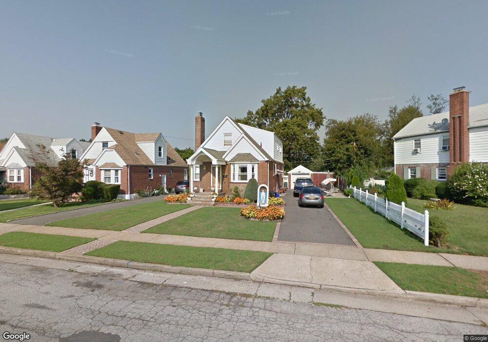
123 Martin Ave Hempstead, NY 11550
Estimated Value: $626,000 - $698,063
4
Beds
2
Baths
1,500
Sq Ft
$441/Sq Ft
Est. Value
About This Home
This home is located at 123 Martin Ave, Hempstead, NY 11550 and is currently estimated at $662,032, approximately $441 per square foot. 123 Martin Ave is a home located in Nassau County with nearby schools including Northern Parkway Elementary School, Lawrence Road Middle School, and Uniondale High School.
Ownership History
Date
Name
Owned For
Owner Type
Purchase Details
Closed on
Jul 20, 2021
Sold by
Barriga Jorge and Barriga Aida
Bought by
Atancuri Fabian Arias and Chimbo Silvia C
Current Estimated Value
Home Financials for this Owner
Home Financials are based on the most recent Mortgage that was taken out on this home.
Original Mortgage
$449,735
Outstanding Balance
$408,252
Interest Rate
2.93%
Mortgage Type
FHA
Estimated Equity
$253,780
Create a Home Valuation Report for This Property
The Home Valuation Report is an in-depth analysis detailing your home's value as well as a comparison with similar homes in the area
Home Values in the Area
Average Home Value in this Area
Purchase History
| Date | Buyer | Sale Price | Title Company |
|---|---|---|---|
| Atancuri Fabian Arias | $520,000 | None Available |
Source: Public Records
Mortgage History
| Date | Status | Borrower | Loan Amount |
|---|---|---|---|
| Open | Atancuri Fabian Arias | $449,735 |
Source: Public Records
Tax History Compared to Growth
Tax History
| Year | Tax Paid | Tax Assessment Tax Assessment Total Assessment is a certain percentage of the fair market value that is determined by local assessors to be the total taxable value of land and additions on the property. | Land | Improvement |
|---|---|---|---|---|
| 2025 | $6,822 | $392 | $141 | $251 |
| 2024 | $995 | $392 | $141 | $251 |
| 2023 | $5,707 | $392 | $141 | $251 |
| 2022 | $5,707 | $392 | $141 | $251 |
| 2021 | $6,428 | $373 | $134 | $239 |
| 2020 | $3,675 | $434 | $433 | $1 |
| 2019 | $3,736 | $434 | $407 | $27 |
| 2018 | $3,736 | $463 | $0 | $0 |
| 2017 | $3,274 | $535 | $434 | $101 |
| 2016 | $4,210 | $535 | $326 | $209 |
| 2015 | $896 | $535 | $326 | $209 |
| 2014 | $896 | $535 | $326 | $209 |
| 2013 | $1,105 | $713 | $434 | $279 |
Source: Public Records
Map
Nearby Homes
- 159 Jean Ave
- 111 Jean Ave
- 110 Powell Place
- 244 Brown Ave
- 88 Acacia Ave
- 17 Flint Ave
- 28 Dale Ave
- 7 Stanley Place
- 66 Elmwood Ave
- 33 Elmwood Ave
- 52 Elmwood Ave
- 106 Spencer Place
- 120 Oak Ave
- 199 William St
- 355 Jerusalem Ave
- 187 Kennedy Ave
- 141 Brown Ave
- 78 Spencer Place
- 3 Tompkins Place
- 269 Windsor Pkwy